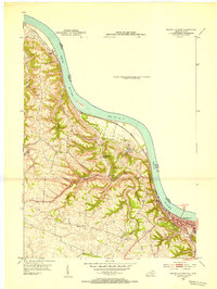
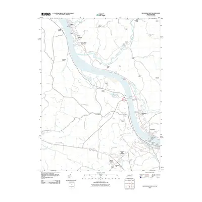
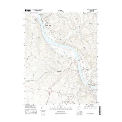
1952 Map of Maysville West
USGS Topo · Published 1953About this map
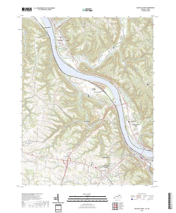
The Ohio River valley dominates this mid-century landscape, where the bustling riverfront of Maysville serves as the focal point of commerce and transport. The Chesapeake and Ohio railroad corridor tracks the river's southern bank, illustrating the critical link between industrial rail lines and Kentucky's waterway economy. Across the water, South Ripley marks the Ohio side of the boundary, while the river itself features landmarks such as the Charleston Bar and a recorded normal pool elevation of 461 feet.
Find a feature on this map
16 named features on this map. Tap any name to fly to it.
Don’t see what you’re looking for? This feature index may not catch every label — zoom into the map to look around manually.
Map Details
Editions of this 1952 Maysville West Map
This is the sole edition of this map. No revisions or reprints were ever made.
Historical Maps of Maysville Through Time
19 maps found
1952 Maysville West
Mason County, KY
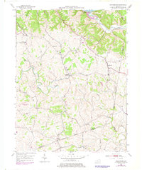
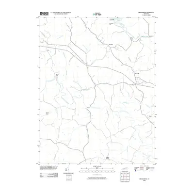
1952 Orangeburg
Mason County, KY
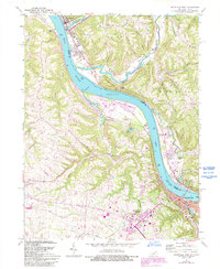
1961 Maysville West
Mason County, KY
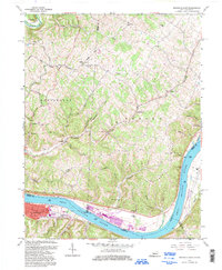
1992 Maysville East
Mason County, KY

2010 Maysville East
Mason County, KY
2010 Maysville West
Mason County, KY
2010 Orangeburg
Mason County, KY

2013 Maysville East
Mason County, KY
2013 Maysville West
Mason County, KY
2013 Orangeburg
Mason County, KY

2016 Maysville East
Mason County, KY
2016 Maysville West
Mason County, KY
2016 Orangeburg
Mason County, KY

2019 Maysville East
Mason County, KY
2019 Maysville West
Mason County, KY
2019 Orangeburg
Mason County, KY
2022 Maysville East
Mason County, KY
2022 Maysville West
Mason County, KY
2022 Orangeburg
Mason County, KY