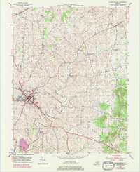
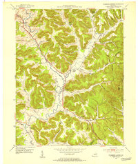
1951 Map of Flemingsburg
USGS Topo · Published 1979About this map
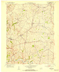
Flemingsburg serves as the focal point of this mid-century landscape, positioned near the junction of several local branches including Town Branch and Sleepy Run. The map illustrates the town's expansion toward the Reservoir and the local Drive-in Theater, a classic cultural marker of the post-war era. The surrounding Fleming County countryside is dotted with small rural communities like Mount Carmel, Beechburg, and Bluebank, each connected by a network of winding roads and creeks.
Find a feature on this map
30 named features on this map. Tap any name to fly to it.
Don’t see what you’re looking for? This feature index may not catch every label — zoom into the map to look around manually.
Map Details
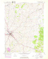
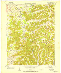
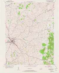
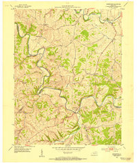
Editions of this 1951 Flemingsburg Map
3 editions found
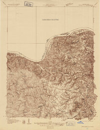
Other maps of this area

1915 · Maysville
USGS Topo · 1:62,500

1919 · Maysville
USGS Topo · 1:62,500
1929 · Springdale
USGS Topo · 1:48,000

1935 · Springdale
USGS Topo · 1:62,500
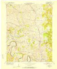
1951 · Hillsboro
USGS Topo · 1:24,000
1951 · Plummers Landing
USGS Topo · 1:24,000
1951 · Burtonville
USGS Topo · 1:24,000
1951 · Flemingsburg
USGS Topo · 1:24,000
1952 · Sherburne
USGS Topo · 1:24,000
1952 · Elizaville
USGS Topo · 1:24,000