2000s (21st Century) Maps of Prestonsburg, Kentucky
Explore 15 historic maps of Prestonsburg from the 2000s (21st Century). These maps offer a rare glimpse into what life looked like during the 2000s — showing old roads, neighborhoods, homes, and landmarks that have changed or disappeared over time.
Whether you're researching your family's past, planning a metal detecting trip, or studying how Prestonsburg's landscape evolved across the 2000s, these high-resolution maps are a powerful tool for exploring the history of this region.
- Focus on a specific era: All maps on this page are from the 2000s, giving you a focused view of this time period.
- See what’s changed: Compare century-old streets, trails, and buildings to today's modern landscape using overlays and satellite layers.
- Research with precision: Use these maps for genealogy, historical research, land use analysis, or educational projects.
- View, download, or print: Maps are fully viewable online in high resolution, and can be downloaded or printed for your own records.
Start exploring Prestonsburg's history through authentic maps from the 2000s. This is your window into the past.
Prestonsburg, KY maps
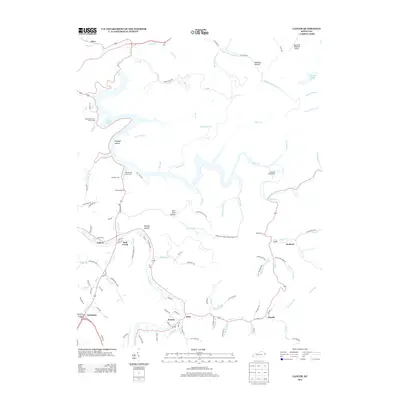
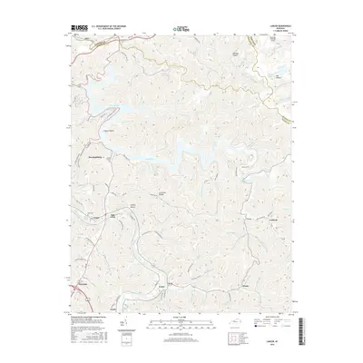
(15)- 2010 Map of Lancer, 2010 Print
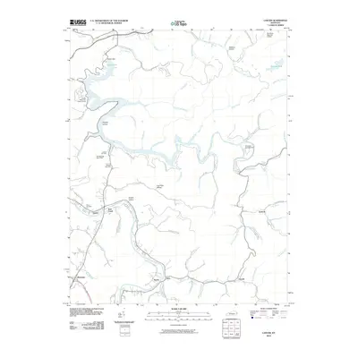 2010 Lancer2010 Print · USGSCovers Prestonsburg, including Nero, Lancer, and other nearby areas
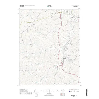
 - 2010 Map of Harold, 2010 Print
 2010 Harold2010 Print · USGSCovers Prestonsburg, including Betsy Layne, Martin, and other nearby areas
 - 2010 Map of Prestonsburg, 2010 Print
 2010 Prestonsburg2010 Print · USGSCovers Prestonsburg, including Auxier, Bays Branch, and other nearby areas
 - 2013 Map of Harold, 2013 Print
 2013 Harold2013 Print · USGSCovers Prestonsburg, including Betsy Layne, Martin, and other nearby areas
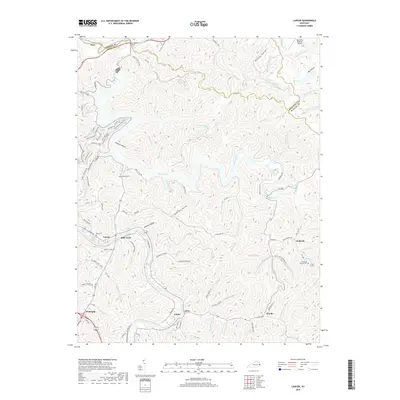
 - 2013 Map of Lancer, 2013 Print
 2013 Lancer2013 Print · USGSCovers Prestonsburg, including Nero, Lancer, and other nearby areas
 - 2013 Map of Prestonsburg, 2013 Print
 2013 Prestonsburg2013 Print · USGSCovers Prestonsburg, including Auxier, Bays Branch, and other nearby areas
 - 2016 Map of Prestonsburg, 2016 Print
 2016 Prestonsburg2016 Print · USGSCovers Prestonsburg, including Auxier, Bays Branch, and other nearby areas
 - 2016 Map of Harold, 2016 Print
 2016 Harold2016 Print · USGSCovers Prestonsburg, including Betsy Layne, Martin, and other nearby areas
 - 2016 Map of Lancer, 2016 Print
 2016 Lancer2016 Print · USGSCovers Prestonsburg, including Nero, Lancer, and other nearby areas
 - 2019 Map of Prestonsburg, 2019 Print
 2019 Prestonsburg2019 Print · USGSCovers Prestonsburg, including Auxier, Bays Branch, and other nearby areas
 - 2019 Map of Lancer, 2019 Print
 2019 Lancer2019 Print · USGSCovers Prestonsburg, including Nero, Lancer, and other nearby areas
 - 2019 Map of Harold, 2019 Print
 2019 Harold2019 Print · USGSCovers Prestonsburg, including Betsy Layne, Martin, and other nearby areas
 - 2022 Map of Prestonsburg, 2022 Print
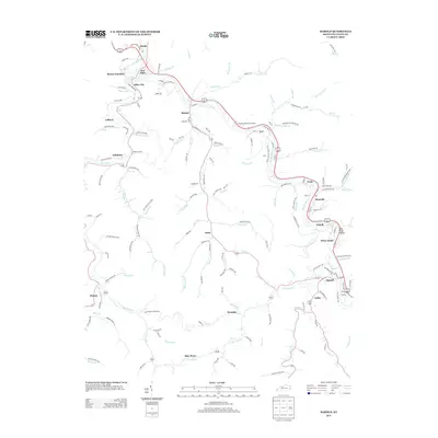
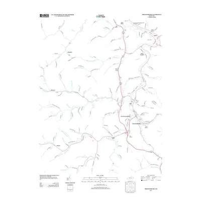
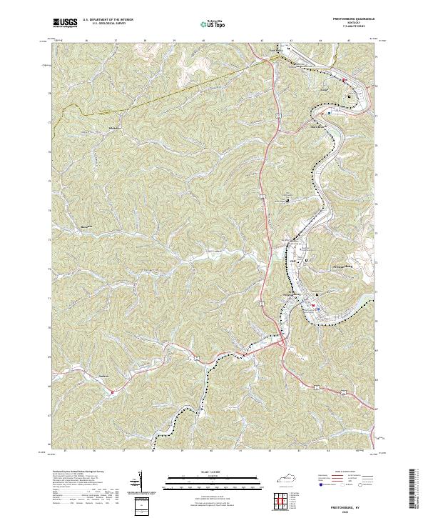 2022 Prestonsburg2022 Print · USGSThe Levisa Fork valley in 2022 serves as a vital hub for education and law in Floyd County. Researchers can trace family roots at Governors Cem or locate the campuses of Morehead State University and Big Sandy Community and Technical College.
 - 2022 Map of Harold, 2022 Print
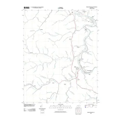
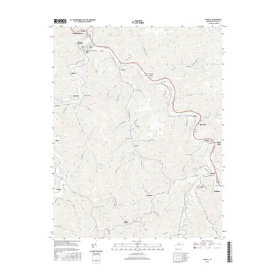
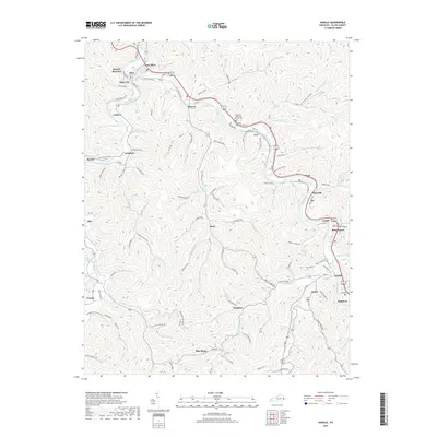
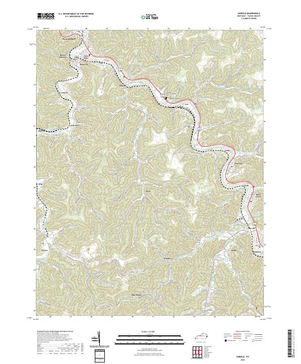 2022 Harold2022 Print · USGSFloyd County's winding river valleys and coal-country hollows are captured here as they appeared in the early 2020s. Genealogists and local historians can trace small settlements from Betsy Layne to Blue Moon and locate family landmarks like Damron Cem or Davidson Memorial Gardens.
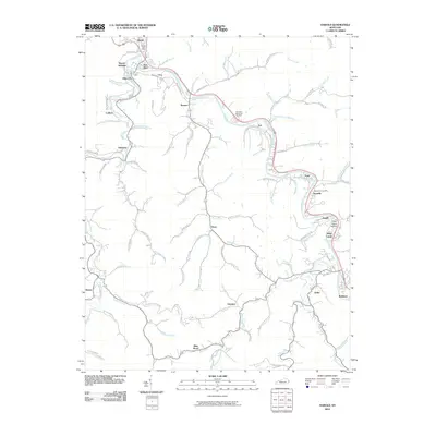
 - 2023 Map of Lancer, 2023 Print
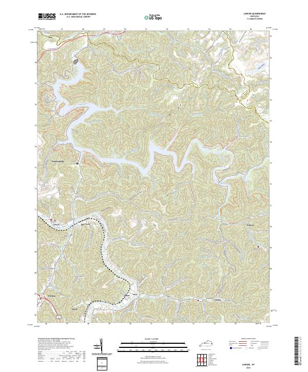 2023 Lancer2023 Print · USGSFloyd County at the start of the 2020s shows a landscape where recreation and community history meet along the winding waters of Dewey Lake. Researchers can trace local lineage through sites like Lockhart Cem or locate old valley settlements such as Endicott and Dwale.
End of results
Showing maps 1-15 of 15
Top cities near Prestonsburg
- Pikeville historical maps
- Paintsville historical maps
- Coal Run Village historical maps
- Van Lear historical maps
- West Van Lear historical maps
- Auxier historical maps
See more
Top neighborhoods of Prestonsburg
Frequently asked questions
- What are the different types of historical maps available for Prestonsburg?
- What is the oldest map of Prestonsburg?
- Where can I purchase historical maps of Prestonsburg for my home or office?
- Where can I download high-res historical maps of Prestonsburg?
- Are there historical topographic maps available for Prestonsburg?
- Is there historical aerial imagery available for Prestonsburg?
- Where are historical maps of Prestonsburg sourced from?