Old Maps of Prestonsburg, Kentucky for Genealogy
Trace your family roots with 34 historic maps of Prestonsburg. These high-res maps reveal old neighborhoods, homesites, landmarks, and streets — helping you uncover where your ancestors lived and how the area evolved over time.
- Explore historic neighborhoods: Identify where your relatives may have lived in the 1800s or 1900s.
- Compare maps over time: Trace the changes in streets, buildings, and landmarks for multi-generational research.
- Perfect for genealogy & ancestry research: Used by family historians and researchers to map out lineage and migration.
These maps are an incredible resource for exploring your personal connection to Prestonsburg's past.
Prestonsburg, KY maps
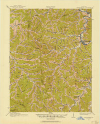
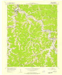
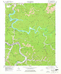
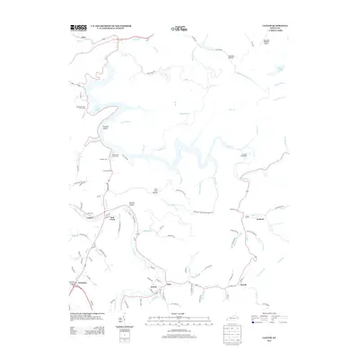
(34)- 1886 Map of Prestonsburg
 1886 Prestonsburg1886 Print · USGSEastern Kentucky's river-and-rail economy is captured here in the late nineteenth century as steam power reached deep into the mountains. Genealogists can trace family homesteads near Prestonburgh, Paintsville, and early settlements like Peach Orchard or Boon's Camp.
 - 1892 Map of Prestonsburg
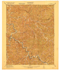
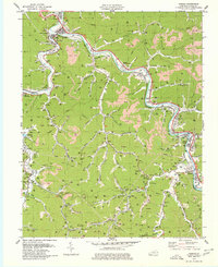
 1892 Prestonsburg1892 Print · USGSEastern Kentucky is shown in the late nineteenth century as a landscape of river-centered trade and early mountain settlement. Genealogists and historians can trace family-named locations like Laynesville, Oil Spring, and the post office at Eden (Inez P.O.).4 unique versions available
 - 1914 Map of Laynesville
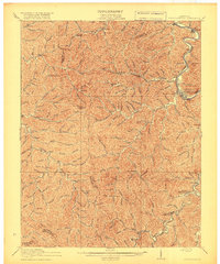
 1914 Laynesville1914 Print · USGSEastern Kentucky's river valleys and mountain hollows are meticulously mapped here in the years before the Great War. Genealogists can trace the locations of dozens of early schoolhouses, from School No 16 to the Sandy Valley Normal School, alongside river towns like Laynesville and Betsy Layne.
 - 1915 Map of Prestonsburg
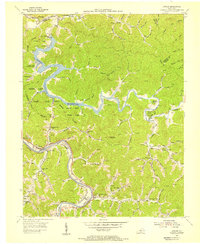
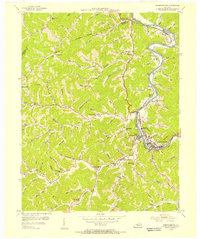
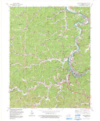
 1915 Prestonsburg1915 Print · USGSEastern Kentucky's coal and rail landscape is meticulously detailed in the years before the Great War. Genealogists and historians can trace families across Big Lick School, the Cliff Mine, and early post offices like Maytown Langley PO.2 unique versions available
 - 1916 Map of Harold
 1916 Harold1916 Print · USGSEastern Kentucky's river valleys and railroad corridors come alive in this mid-1910s survey of the Big Sandy region. Researchers can trace the development of the Chesapeake and Ohio line through river towns like Betsy Layne and Laynesville, or locate family-centric sites like Woods Emma PO and the Sandy Valley Normal School.3 unique versions available
 - 1918 Map of Prestonsburg
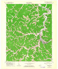
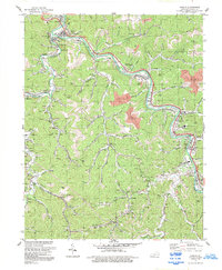
 1918 Prestonsburg1918 Print · USGSEastern Kentucky's river-and-rail corridors are captured here just before the close of the Great War. Genealogists can trace family roots through hillside settlements and early postal stops like Maytown Langley PO, Ivyton, and Big Lick School.3 unique versions available
 - 1954 Map of Lancer, 1955 Print
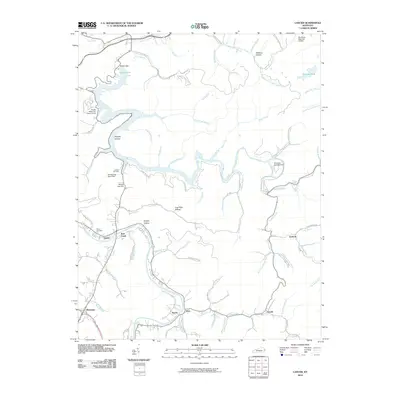
 1954 Lancer1955 Print · USGSFloyd County at the mid-century shows a landscape shaped by the new Dewey Reservoir and the winding Levisa Fork. Genealogists and historians can trace local life through dozens of rural landmarks like Brandy Keg Sch, Home Branch Sch, and the railroad stop at Lancer.2 unique versions available
 - 1954 Map of Harold, 1955 Print
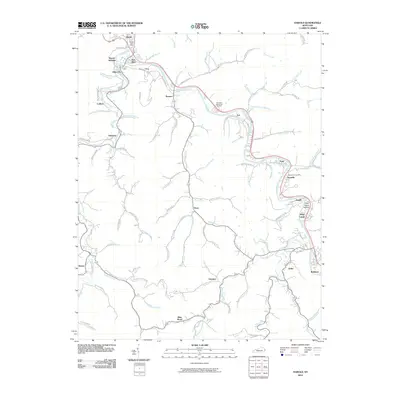
 1954 Harold1955 Print · USGSThe Levisa Fork valley in Floyd County was a bustling corridor of rail and river life in the mid-fifties. Genealogists can trace family footprints through numerous hollows and hamlets like Blue Moon, Justell, and Printer (Salisbury Sta).2 unique versions available
 - 1954 Map of Prestonsburg, 1956 Print
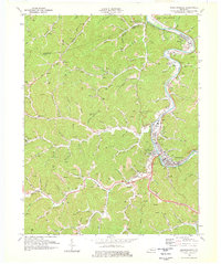
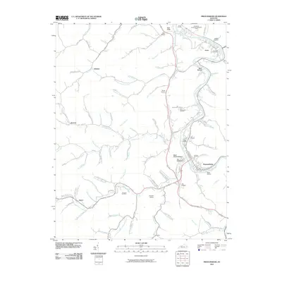
 1954 Prestonsburg1956 Print · USGSEastern Kentucky's river valleys and mountain hollows are captured here in the mid-fifties, centered on the growing hub of Prestonsburg. Researchers can trace old family sites and rural landmarks like Horn Chapel, the Governors Cem, and numerous schoolhouses including Katy Friend Sch.
 - 1957 Map of Jenkins, 1974 Print
 1957 Jenkins1974 Print · USGSThe Cumberland Plateau in the mid-twentieth century reveals a complex landscape of winding river valleys and deep-seated industry. Genealogists and historians can trace the development of Hazard, Jenkins, and Pikeville alongside extensive Numerous Oil and Gas Fields and the routes of the Chesapeake & Ohio Railway.
 - 1960 Map of Jenkins
 1960 Jenkins1960 Print · USGSEastern Kentucky and the West Virginia borderlands are captured at a mid-century peak of the coal and rail era. Trace the industrial corridors of the Chesapeake and Ohio RR through mountain hubs like Hazard and Jenkins.
 - 1962 Map of Prestonsburg, 1964 Print
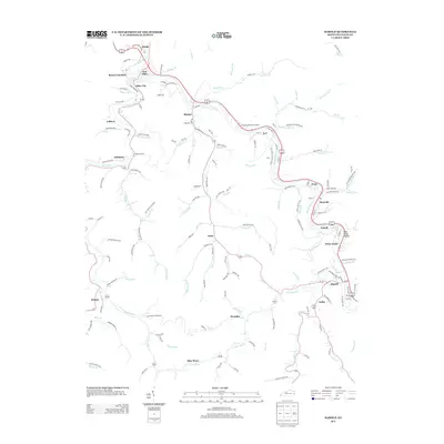
 1962 Prestonsburg1964 Print · USGSThe Levisa Fork valley comes alive in the early sixties, showing the vital rail and river corridor of Floyd County. Genealogists and historians can trace family locations near Auxier, Harkins Chapel, and numerous Gas Wells throughout the hills.
 - 1978 Map of Prestonsburg
 1978 Prestonsburg1978 Print · USGSThe Levisa Fork valley in the late 1970s shows a landscape defined by the river and the coal and gas industries. Genealogists and historians can trace family-named hollows and sites like Governors Cem, Horn Chapel, and the community of Auxier.
 - 1978 Map of Dewey Lake
 1978 Dewey Lake1978 Print · USGSThe Levisa Fork and Johns Lake valleys are shown in the late 1970s during a peak of local coal mining. Genealogists and historians can locate family cemeteries, remote strip mines, and settlements like Prestonsburg, Lancer, and Watergap.3 unique versions available
 - 1979 Map of Harold
 1979 Harold1979 Print · USGSThe Levisa Fork valley in the late seventies is a complex landscape of coal production and mountain hamlets. Genealogists and researchers can trace family landmarks and civic life from Allen City to Harold, locating Salem Ch, the Drive-in Theater, and numerous cemeteries.
 - 1982 Map of Williamson, 1983 Print
 1982 Williamson1983 Print · USGSThe Central Appalachian coalfields of West Virginia and Kentucky come into sharp focus here during the early eighties. Genealogists and researchers can trace the valley rail networks of the Norfolk and Western RR through Matewan, Williamson, and Blackberry City.
 - 1992 Map of Lancer
 1992 Lancer1992 Print · USGSFloyd County during the early nineties shows a landscape defined by the winding waters of Dewey Lake and the active Levisa Fork river valley. Researchers can trace family sites at Mayo Cem and The Old Log Ch or locate old rail stops along the CSX Transportation line.
 - 1992 Map of Prestonsburg
 1992 Prestonsburg1992 Print · USGSThe Levisa Fork valley in the early nineties shows a coal-country landscape balancing industrial roots with new civic growth. Genealogists and researchers can trace family landmarks and mountain hollows from East Point to Bonanza, including Clark Sch and the Drive-in Theater.
 - 1992 Map of Harold
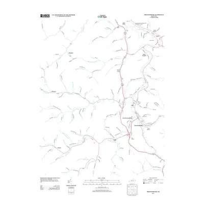
 1992 Harold1992 Print · USGSFloyd County's industrial and community landscape is captured here in the early nineties as the coal and rail economy shaped the valley. Genealogists and historians can trace family locations from Betsy Layne and Harold to smaller settlements like Blue Moon and Printer.
 - 2010 Map of Lancer, 2010 Print
 2010 Lancer2010 Print · USGSCovers Prestonsburg, including Nero, Lancer, and other nearby areas
 - 2010 Map of Harold, 2010 Print
 2010 Harold2010 Print · USGSCovers Prestonsburg, including Betsy Layne, Martin, and other nearby areas
 - 2010 Map of Prestonsburg, 2010 Print
 2010 Prestonsburg2010 Print · USGSCovers Prestonsburg, including Auxier, Bays Branch, and other nearby areas
 - 2013 Map of Harold, 2013 Print
 2013 Harold2013 Print · USGSCovers Prestonsburg, including Betsy Layne, Martin, and other nearby areas
 - 2013 Map of Lancer, 2013 Print
 2013 Lancer2013 Print · USGSCovers Prestonsburg, including Nero, Lancer, and other nearby areas
 - 2013 Map of Prestonsburg, 2013 Print
 2013 Prestonsburg2013 Print · USGSCovers Prestonsburg, including Auxier, Bays Branch, and other nearby areas
Showing maps 1-25 of 34
Top cities near Prestonsburg
- Pikeville historical maps
- Paintsville historical maps
- Coal Run Village historical maps
- Van Lear historical maps
- West Van Lear historical maps
- Auxier historical maps
See more
Top neighborhoods of Prestonsburg
Frequently asked questions
- What are the different types of historical maps available for Prestonsburg?
- What is the oldest map of Prestonsburg?
- Where can I purchase historical maps of Prestonsburg for my home or office?
- Where can I download high-res historical maps of Prestonsburg?
- Are there historical topographic maps available for Prestonsburg?
- Is there historical aerial imagery available for Prestonsburg?
- Where are historical maps of Prestonsburg sourced from?