Old Maps of Williamstown, Kentucky for Hiking & Exploration
Hike through history with 23 historic maps of Williamstown. Explore old trails, ghost towns, and forgotten backroads — perfect for outdoor adventurers and local explorers.
- Rediscover forgotten places: Map out old mining camps, roads, and footpaths that no longer exist on modern maps.
- Layer with modern tools: Combine with LiDAR or satellite views to plan hikes through historical terrain.
- Made for exploration: Popular among hikers, overlanders, and local history lovers.
Use these maps to find adventure and explore the hidden past of Williamstown.
Williamstown, KY maps
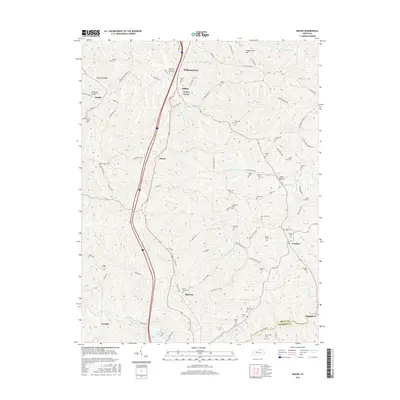
(23)- 1950 Map of Mason, 1952 Print
 1950 Mason1952 Print · USGSThe Southern Railway and Dixie Highway corridor defines this mid-century look at Grant County. Genealogists can trace family names at Clark Cem and Morgan Cem or locate old community centers like Mason Sch and Mt Olivet Ch.
 - 1950 Map of Elliston, 1952 Print
 1950 Elliston1952 Print · USGSGrant County is captured in the early fifties, a landscape of winding creek valleys and isolated northern Kentucky hamlets. Researchers can trace rural lineages through family-named sites like Sipple Cem, visit old church sites at Vine Run Ch, and locate fords like Eagle Mill Ford.2 unique versions available
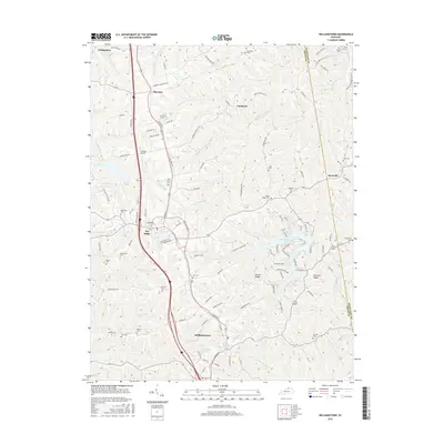
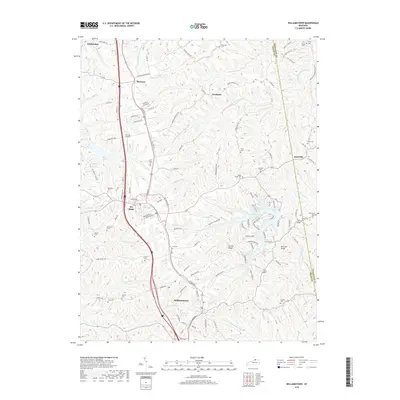
 - 1950 Map of Williamstown, 1952 Print
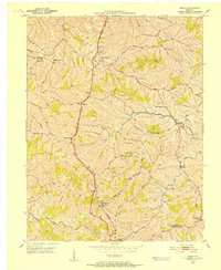
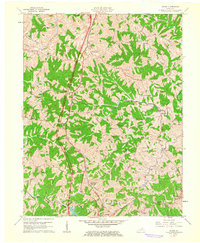
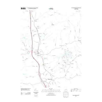
 1950 Williamstown1952 Print · USGSGrant County is captured in the early fifties as the rural landscape began to transition around established transit hubs. Genealogists can trace family names through numerous hilltop burial sites like Dickerson Cem and McGuinnis Cem or explore the settlements of Dry Ridge and Sherman.
 - 1956 Map of Louisville, 1971 Print
 1956 Louisville1971 Print · USGSThe Ohio River valley and the Kentucky Bluegrass are captured here during a period of rapid mid-century growth and industrial activity. Genealogists and historians can trace rail-centered towns and military land use at Fort Knox and the Jefferson Proving Ground.2 unique versions available
 - 1961 Map of Williamstown, 1962 Print
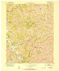
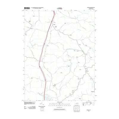
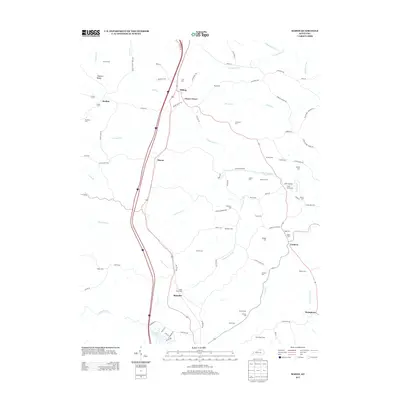
 1961 Williamstown1962 Print · USGSGrant County is captured in the early sixties as the landscape around Williamstown and Dry Ridge began to modernize. Researchers can trace family history through numerous rural burial sites like Baton Rouge Cem and Day Cem, or follow the path of the Southern railroad.2 unique versions available
 - 1961 Map of Mason, 1962 Print
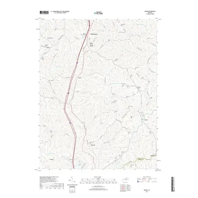
 1961 Mason1962 Print · USGSThis rural portion of northern Kentucky was documented just as the modern interstate era began to reach its hills and hollows. Genealogists and historians can trace family ties through numerous landmarks like the Mason Sch, Cordova, and the Clark Cem.2 unique versions available
 - 1964 Map of Louisville
 1964 Louisville1964 Print · USGSThe Ohio River valley and Kentucky Bluegrass are captured in the mid-1960s, showing a region balanced between industrial growth and its agrarian roots. Genealogists and historians can trace the development of county seats like Shelbyville and Paris, or locate established institutions such as Georgetown College and Bernheim Forest.
 - 1986 Map of Falmouth
 1986 Falmouth1986 Print · USGSNorthern Kentucky and the Ohio River valley are shown here in the mid-1980s, highlighting the region's complex river-and-rail geography. Genealogists and researchers can trace the roads connecting Big Bone Lick, Zion Church, and river towns like Falmouth and Augusta.2 unique versions available
 - 2010 Map of Mason, 2010 Print
 2010 Mason2010 Print · USGSCovers Williamstown, including Corinth, Stringtown, and other nearby areas
 - 2010 Map of Elliston, 2010 Print
 2010 Elliston2010 Print · USGSCovers Williamstown, including Dry Ridge, Downingsville, and other nearby areas
 - 2010 Map of Williamstown, 2010 Print
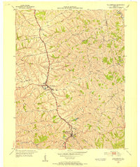
 2010 Williamstown2010 Print · USGSCovers Williamstown, including Crittenden, Dry Ridge, and other nearby areas
 - 2013 Map of Williamstown, 2013 Print
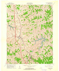
 2013 Williamstown2013 Print · USGSCovers Williamstown, including Crittenden, Dry Ridge, and other nearby areas
 - 2013 Map of Mason, 2013 Print
 2013 Mason2013 Print · USGSCovers Williamstown, including Corinth, Stringtown, and other nearby areas
 - 2013 Map of Elliston, 2013 Print
 2013 Elliston2013 Print · USGSCovers Williamstown, including Dry Ridge, Downingsville, and other nearby areas
 - 2016 Map of Elliston, 2016 Print
 2016 Elliston2016 Print · USGSCovers Williamstown, including Dry Ridge, Downingsville, and other nearby areas
 - 2016 Map of Williamstown, 2016 Print
 2016 Williamstown2016 Print · USGSCovers Williamstown, including Crittenden, Dry Ridge, and other nearby areas
 - 2016 Map of Mason, 2016 Print
 2016 Mason2016 Print · USGSCovers Williamstown, including Corinth, Stringtown, and other nearby areas
 - 2019 Map of Williamstown, 2019 Print
 2019 Williamstown2019 Print · USGSCovers Williamstown, including Crittenden, Dry Ridge, and other nearby areas
 - 2019 Map of Mason, 2019 Print
 2019 Mason2019 Print · USGSCovers Williamstown, including Corinth, Stringtown, and other nearby areas
 - 2019 Map of Elliston, 2019 Print
 2019 Elliston2019 Print · USGSCovers Williamstown, including Dry Ridge, Downingsville, and other nearby areas
 - 2022 Map of Elliston, 2022 Print
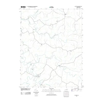
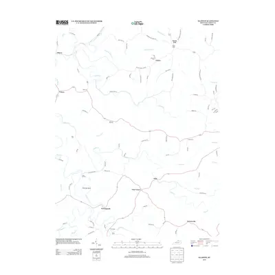
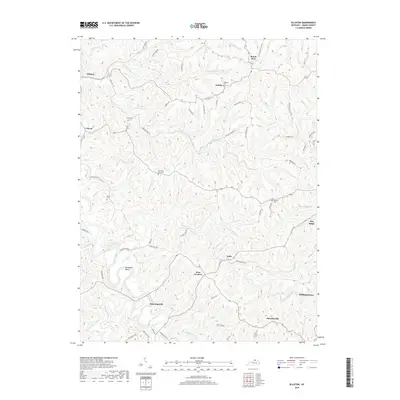
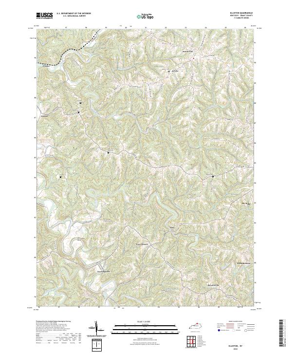 2022 Elliston2022 Print · USGSGrant County's ridgetop communities and winding creek valleys are mapped here in the early twenty-first century. Genealogists and local historians can trace legacy family sites like Webster Cem, Redman Cem, and the historic crossroads at Four Corners.
 - 2022 Map of Mason, 2022 Print
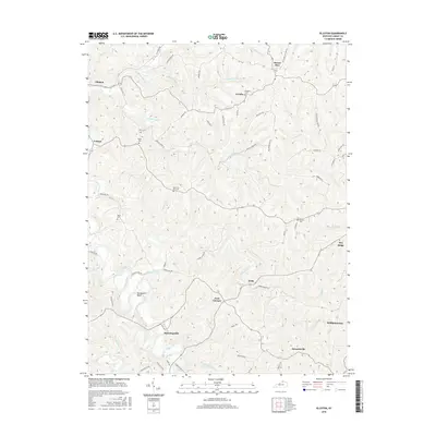
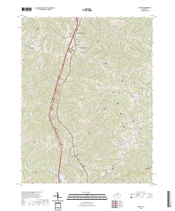 2022 Mason2022 Print · USGSGrant County is captured in the early 2020s, showing a landscape of deep-cut creek valleys and ridge-top settlements. Genealogists can trace dozens of local burial sites like Saint Marys Cem, Mount Oliver Cem, and Page Cem across the rural hill country.
 - 2022 Map of Williamstown, 2022 Print
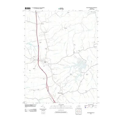
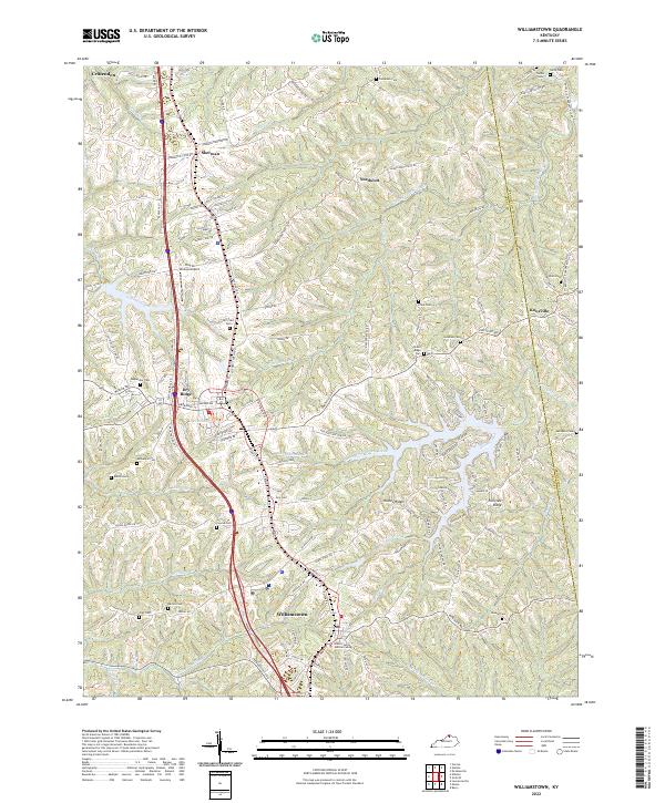 2022 Williamstown2022 Print · USGSWilliamstown and Dry Ridge center this recent survey of the Grant County uplands. Genealogists can locate numerous local burial sites like Hill Crest Cem and Conrad Cem, or trace the winding waters of Arnolds Creek and Lake Polliwog.
End of results
Showing maps 1-23 of 23
Top cities near Williamstown
- Crittenden historical maps
- Walton historical maps
- Dry Ridge historical maps
- Falmouth historical maps
- Butler historical maps
- Berry historical maps
See more
Top neighborhoods of Williamstown
Frequently asked questions
- What are the different types of historical maps available for Williamstown?
- What is the oldest map of Williamstown?
- Where can I purchase historical maps of Williamstown for my home or office?
- Where can I download high-res historical maps of Williamstown?
- Are there historical topographic maps available for Williamstown?
- Is there historical aerial imagery available for Williamstown?
- Where are historical maps of Williamstown sourced from?