Old Maps of Bluff Boom, Kentucky for Hiking & Exploration
Hike through history with 10 historic maps of Bluff Boom. Explore old trails, ghost towns, and forgotten backroads — perfect for outdoor adventurers and local explorers.
- Rediscover forgotten places: Map out old mining camps, roads, and footpaths that no longer exist on modern maps.
- Layer with modern tools: Combine with LiDAR or satellite views to plan hikes through historical terrain.
- Made for exploration: Popular among hikers, overlanders, and local history lovers.
Use these maps to find adventure and explore the hidden past of Bluff Boom.
Bluff Boom, KY maps
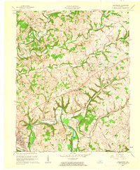
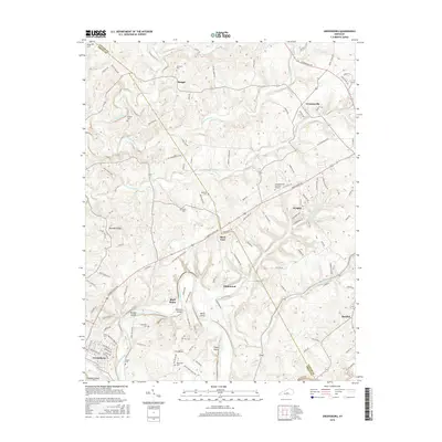
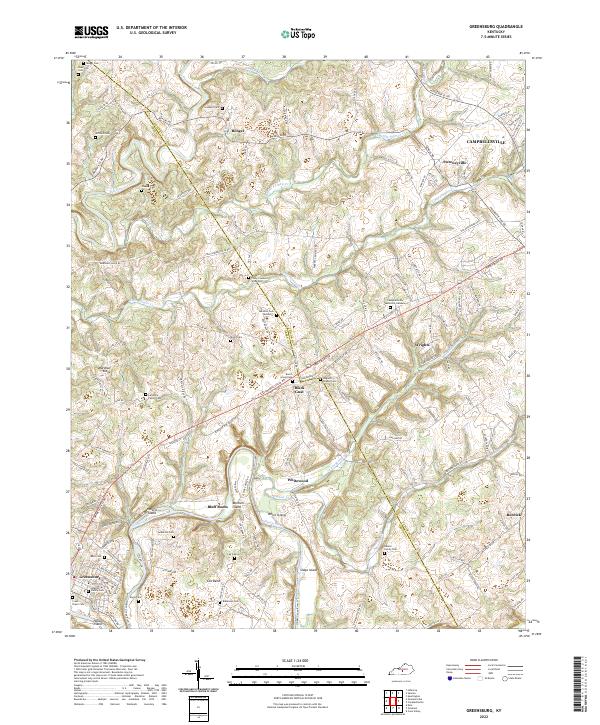
(10)- 1954 Map of Greensburg, 1955 Print
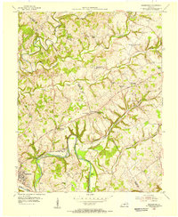 1954 Greensburg1955 Print · USGSMid-century Green County and Taylor County are captured here as the Green River winds past Greensburg. Genealogists can trace family roots through numerous local landmarks like Black Gnat, Hogards Chapel, and rural schoolhouses including Fairview Sch.
 - 1957 Map of Winchester, 1968 Print
 1957 Winchester1968 Print · USGSCentral Kentucky's landscape in the mid-twentieth century features the sprawling Fort Knox and the early parkway system. Genealogists and historians can trace rail lines like the Southern Railway and find landmarks from Bernheim Forest to Pilot Knob.3 unique versions available
 - 1960 Map of Winchester
 1960 Winchester1960 Print · USGSCentral Kentucky's diverse landscape is shown here at mid-century, from the bluegrass plains to the rugged Pottsville Escarpment. Genealogists and historians can trace the rail-and-river network connecting towns like Bardstown and Stanford alongside landmarks like Lake Cumberland.
 - 1961 Map of Greensburg, 1962 Print
 1961 Greensburg1962 Print · USGSCentral Kentucky's river valleys and oil fields come into focus in the early sixties, centered on the historic seat of Greensburg. Genealogists and historians can trace deep family roots through many rural landmarks, including Earlys Chapel, Beech Grove Ch, and the curiously named Black Gnat.2 unique versions available
 - 1986 Map of Campbellsville
 1986 Campbellsville1986 Print · USGSCentral Kentucky in the mid-eighties was a landscape of deep river valleys and high ridges. Genealogists can trace family holdings near rural settlements like Phillipsburg or locate landmarks such as Mt Gilead Ch and the Magnolia Gas Storage Field.2 unique versions available
 - 2010 Map of Greensburg, 2010 Print
 2010 Greensburg2010 Print · USGSCovers Bluff Boom, including Campbellsville, Greensburg, and other nearby areas
 - 2013 Map of Greensburg, 2013 Print
 2013 Greensburg2013 Print · USGSCovers Bluff Boom, including Campbellsville, Greensburg, and other nearby areas
 - 2016 Map of Greensburg, 2016 Print
 2016 Greensburg2016 Print · USGSCovers Bluff Boom, including Campbellsville, Greensburg, and other nearby areas
 - 2019 Map of Greensburg, 2019 Print
 2019 Greensburg2019 Print · USGSCovers Bluff Boom, including Campbellsville, Greensburg, and other nearby areas
 - 2022 Map of Greensburg, 2022 Print
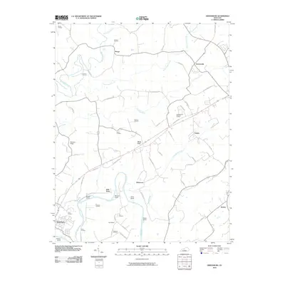
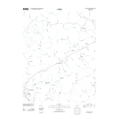
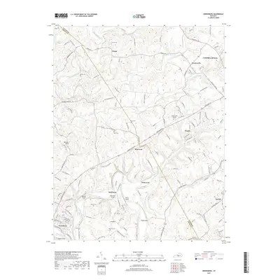
 2022 Greensburg2022 Print · USGSGreen County in the modern era maintains its rural character along the winding Green River and Big Pitman Creek. Genealogists can trace deep local roots at the Colby Cowherd Slave Cem, Larimore Family Cem, and the interestingly named Black Gnat.
End of results
Showing maps 1-10 of 10
Top cities near Bluff Boom
Frequently asked questions
- What are the different types of historical maps available for Bluff Boom?
- What is the oldest map of Bluff Boom?
- Where can I purchase historical maps of Bluff Boom for my home or office?
- Where can I download high-res historical maps of Bluff Boom?
- Are there historical topographic maps available for Bluff Boom?
- Is there historical aerial imagery available for Bluff Boom?
- Where are historical maps of Bluff Boom sourced from?