Old Maps of York, Kentucky for Hiking & Exploration
Hike through history with 13 historic maps of York. Explore old trails, ghost towns, and forgotten backroads — perfect for outdoor adventurers and local explorers.
- Rediscover forgotten places: Map out old mining camps, roads, and footpaths that no longer exist on modern maps.
- Layer with modern tools: Combine with LiDAR or satellite views to plan hikes through historical terrain.
- Made for exploration: Popular among hikers, overlanders, and local history lovers.
Use these maps to find adventure and explore the hidden past of York.
York, KY maps
(13)- 1915 Map of Garrison, 1952 Print
 1915 Garrison1952 Print · USGSThe riverfront and uplands of the Ohio Valley come alive in this mid-century publication of a Great War-era survey. Genealogists and local historians can trace the many rural schoolhouses like Elmtree School and Leatherwood School or find the early footprint of Portsmouth.
 - 1918 Map of Garrison, 1932 Print
 1918 Garrison1932 Print · USGSThe river valley at the Ohio and Kentucky border was a landscape of small schools and isolated runs during the mid-1910s. Researchers can trace the placement of local institutions like the Scioto County Infirmary and rural schools including Pond Run School and Carey Run School.
 - 1949 Map of Brushart, 1968 Print
 1949 Brushart1968 Print · USGSThe Lewis and Greenup County border in the late 1940s is a landscape of high ridges and deep hollows. Researchers can trace rural life through numerous country schools like Zion Hill Sch and family landmarks such as Logan Cem or the settlement at Brushart.2 unique versions available
 - 1950 Map of Brushart
 1950 Brushart1950 Print · USGSThe rural borderlands of Lewis and Greenup counties appear in the late 1940s as a landscape of isolated hollows and ridge-top crossings. Researchers can locate numerous local landmarks like Kenton-Furnace Sch, the Allen Cem, and the settlement of Whiteoak.
 - 1957 Map of Huntington, 1966 Print
 1957 Huntington1966 Print · USGSThe industrial heart of the Ohio River valley is captured here in the mid-sixties, showing the growth of Huntington and Ashland. Researchers can trace the extensive rail networks of the Chesapeake and Ohio RR and locate sites like the Chief Cornstalk Hunting Ground.3 unique versions available
 - 1960 Map of Huntington
 1960 Huntington1960 Print · USGSThe tri-state river valley thrived in the late fifties as a hub of heavy industry and Appalachian rail transit. Genealogists and historians can trace the connection between river towns like Ashland and Portsmouth or locate family homesteads near Coleman Ridge.
 - 1986 Map of Maysville
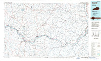 1986 Maysville1986 Print · USGSThe Ohio River valley in the mid-eighties reveals a landscape of industrial river towns and sprawling public lands spanning the Kentucky and Ohio border. Researchers can trace the rail corridors of the Chesapeake and Ohio Railway or locate landmarks like Confidence Cemetery and the Fleming-Mason Airport.
 - 1991 Map of Maysville
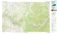 1991 Maysville1991 Print · USGSThe Ohio River valley at the turn of the nineties reveals a landscape of river-bend towns and dense forest preserves. Trace local history through landmark sites like Confidence Cemetery, the small-town streets of Ripley, and the river reaches of Manchester Island No 1.
 - 2010 Map of Brushart, 2010 Print
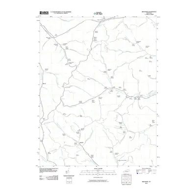 2010 Brushart2010 Print · USGSThe rural hills of Lewis County are captured here in the early 2000s, showing a landscape of small settlements and isolated family cemeteries. Genealogists and local historians can trace the paths between Rexton, York, and Brushart, or locate ancestral sites like Logan Cemetery and Bradley Cemetery.
 - 2013 Map of Brushart, 2013 Print
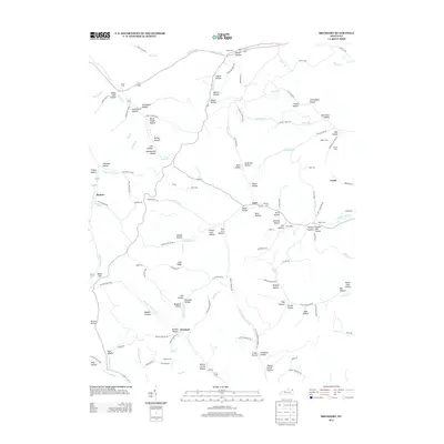 2013 Brushart2013 Print · USGSNortheastern Kentucky’s ridge-and-hollow country is documented here in the early twenty-first century, showing a landscape of isolated homesteads and small communities. Researchers can trace family sites at Holy Cem and Whitt Cem or locate old industrial markers like Powder Mill Hollow.
 - 2016 Map of Brushart, 2016 Print
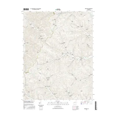 2016 Brushart2016 Print · USGSThe Lewis and Greenup County borderlands in the mid-2010s remain a landscape of deep hollows and high ridges. Researchers can trace family history through local landmarks like Rhoden Cem, the settlement of Brushart, and the many named ravines like Black John Hollow.
 - 2019 Map of Brushart, 2019 Print
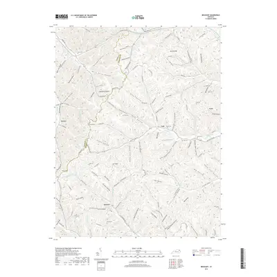 2019 Brushart2019 Print · USGSNortheastern Kentucky’s deeply dissected plateau comes into focus here in the late 2010s. Researchers can locate numerous family burial sites and rural settlements like Rexton, York, and the Logan Cem tucked within the bends of White Oak Creek.
 - 2022 Map of Brushart, 2022 Print
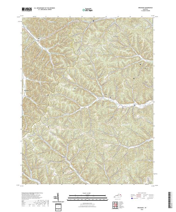 2022 Brushart2022 Print · USGSThe hills of Greenup and Lewis counties appear here in the early twenty-first century, showing a landscape of high ridges and deep hollows. Family history researchers can trace local roots through numerous burial sites like Rhoden Cem and small settlements such as Brushart and York.
End of results
Showing maps 1-13 of 13
Top cities near York
Frequently asked questions
- What are the different types of historical maps available for York?
- What is the oldest map of York?
- Where can I purchase historical maps of York for my home or office?
- Where can I download high-res historical maps of York?
- Are there historical topographic maps available for York?
- Is there historical aerial imagery available for York?
- Where are historical maps of York sourced from?