Old Maps of Blair, Kentucky for Hiking & Exploration
Hike through history with 17 historic maps of Blair. Explore old trails, ghost towns, and forgotten backroads — perfect for outdoor adventurers and local explorers.
- Rediscover forgotten places: Map out old mining camps, roads, and footpaths that no longer exist on modern maps.
- Layer with modern tools: Combine with LiDAR or satellite views to plan hikes through historical terrain.
- Made for exploration: Popular among hikers, overlanders, and local history lovers.
Use these maps to find adventure and explore the hidden past of Blair.
Blair, KY maps
(17)- 1894 Map of Estillville, 1909 Print
 1894 Estillville1909 Print · USGSThe Appalachian highlands at the turn of the century show a landscape of isolated mountain hollows and emerging rail hubs. Genealogists can trace family footprints across river crossings like Speer Ferry and vanished industry at Zion Mills or Brick Store.3 unique versions available
 - 1921 Map of Big Stone Gap
 1921 Big Stone Gap1921 Print · USGSIn the early 1920s, the coal and rail networks of Wise and Lee Counties were at their peak. Genealogists and historians can trace old settlements and rural hubs like Keokee, Johnsons Mill PO, and Stonega along the Southern RR and the Powell River.
 - 1922 Map of Big Stone Gap
 1922 Big Stone Gap1922 Print · USGSSouthwest Virginia's coal and rail corridors are captured here in the early 1920s, showing the height of industrial development in the Cumberland Mountains. Trace family roots and vanished landmarks near Appalachia, Keokee, and the historic Seminary School along the Powell River.
 - 1929 Map of Big Stone Gap
 1929 Big Stone Gap1929 Print · USGSThe coal and rail networks of the Kentucky-Virginia border country are frozen in time just before the Great Depression. Genealogists and historians can trace family roots through mountain settlements like Lynch, Keokee, and Appalachia, or locate landmarks such as Robbins Chapel and Cluttis Post Office.3 unique versions available
 - 1935 Map of Benham
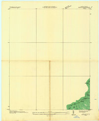 1935 Benham1935 Print · USGSThe Kentucky-Virginia state line runs along the high ridges of the Cumberland Plateau during the mid-1930s. Researchers can trace coal operations like Potato Hill Stonega Coal No 71 and topographic landmarks such as Deep Gap.
 - 1954 Map of Benham, 1956 Print
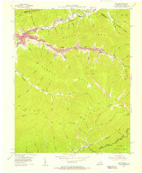 1954 Benham1956 Print · USGSCentral Harlan County coal towns thrive in the mid-fifties along the steep ridges of Black Mountain. Researchers can trace the Louisville and Nashville rail lines serving Benham and Lynch, or locate family sites like Creech Cem.4 unique versions available
 - 1955 Map of Johnson City
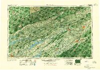 1955 Johnson City1955 Print · USGSEast Tennessee and the bordering highlands of Virginia and Kentucky appear here during the post-war industrial boom. You can trace the complex network of mountain ridges and new TVA lakes, from Johnson City to the coalfields near Middlesboro and Lynch.
 - 1957 Map of Johnson City, 1966 Print
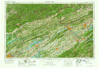 1957 Johnson City1966 Print · USGSUpper East Tennessee and Southwest Virginia are shown here during the mid-sixties transition of the Appalachians. Researchers can trace the industrial rail hubs of Kingsport, the sprawling waters of Cherokee Lake, and the historic Cumberland Gap.
 - 1960 Map of Johnson City
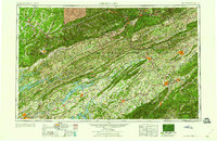 1960 Johnson City1960 Print · USGSUpper East Tennessee and the surrounding tri-state area are shown in the mid-fifties during the height of the TVA reservoir era. Trace the industrial rail lines of the Southern and Louisville and Nashville between Kingsport and Johnson City.
 - 1963 Map of Johnson City
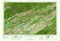 1963 Johnson City1963 Print · USGSThe Tri-Cities and the surrounding Appalachian ridges are shown in detail during the early sixties, highlighting the era's vital rail and river networks. Genealogists and historians can trace the routes of the Clinchfield RR and locate settlements from Rogersville to Elizabethton.
 - 1976 Map of Benham, 1981 Print
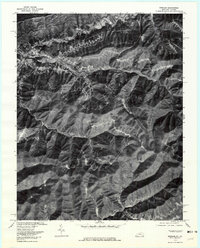 1976 Benham1981 Print · USGSHarlan County's coal towns and river valleys are shown in detail during the mid-seventies in this aerial-based survey. Genealogists and researchers can trace the dense footprints of Benham, Lynch, and Cumberland along the winding Looney Creek.
 - 1981 Map of Bristol
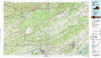 1981 Bristol1981 Print · USGSAppalachia and the Tri-Cities region are shown at a peak of industrial and rail development in the early eighties. Researchers can trace the Clinchfield Railroad through the mountains or find local landmarks like King College and the Holston Army Ammunition Plant.2 unique versions available
 - 2011 Map of Benham, 2011 Print
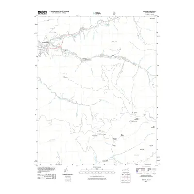 2011 Benham2011 Print · USGSHarlan County's coal heritage is on full display in this early 21st-century survey of the Black Mountain region. Researchers can trace historical mining operations at Portal 31 or locate ancestral sites like the Israel Blair Cemetery and Adams Cemetery.
 - 2013 Map of Benham, 2013 Print
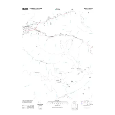 2013 Benham2013 Print · USGSHarlan County's mining heartland is centered around the headwaters of the Cumberland River during this recent era. Genealogists and historians can trace the foundations of company towns like Benham and Lynch, or locate family resting places including Israel Blair Cem and Adams Cem.
 - 2016 Map of Benham, 2016 Print
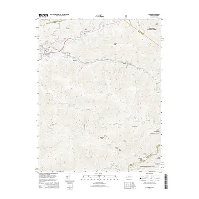 2016 Benham2016 Print · USGSThe coal-mining heart of Harlan County and the Virginia border are captured here during the mid-2010s. Researchers can trace family sites at Israel Blair Cemetery and Adams Cemetery or explore the settlements of Benham and Lynch.
 - 2019 Map of Benham, 2019 Print
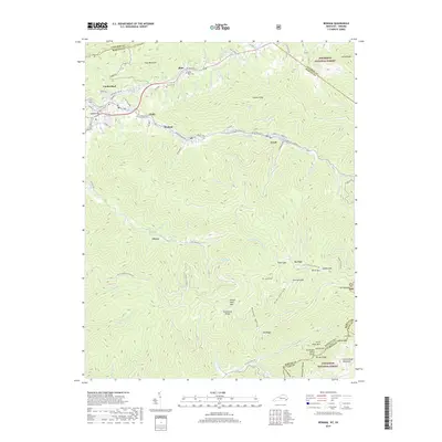 2019 Benham2019 Print · USGSHarlan County's high mountain valleys are captured here in the late twenty-teens, showing the dense settlement of the Cumberland Plateau. Researchers can trace family history through the Israel Blair Cem and Adams Cem or locate old community sites like Lynch, Benham, and Clover.
 - 2022 Map of Benham, 2022 Print
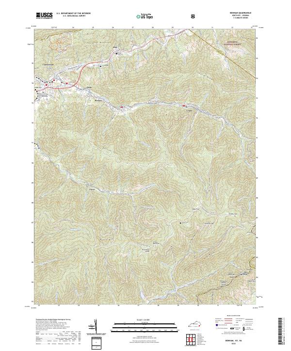 2022 Benham2022 Print · USGSSettled deep in the Appalachians, this Harlan County region shows the coal-country towns of Benham and Lynch in the early 2020s. Researchers can locate family landmarks like Blair Cem and Adams Cem or trace the Poor Fork Cumberland River.
End of results
Showing maps 1-17 of 17
Top cities near Blair
- Big Stone Gap historical maps
- Cumberland historical maps
- Pennington Gap historical maps
- Whitesburg historical maps
- Appalachia historical maps
- Dryden historical maps
See more
Frequently asked questions
- What are the different types of historical maps available for Blair?
- What is the oldest map of Blair?
- Where can I purchase historical maps of Blair for my home or office?
- Where can I download high-res historical maps of Blair?
- Are there historical topographic maps available for Blair?
- Is there historical aerial imagery available for Blair?
- Where are historical maps of Blair sourced from?