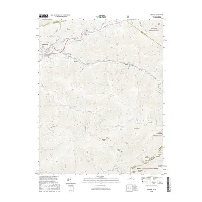
2016 Map of Benham
USGS Topo · Published 2016About this map
Pine Mountain and Black Mtn dominate this 2016 topographical landscape where the coal-country borderlands of Kentucky and Virginia meet. The area is defined by narrow valley settlements like Cumberland, Benham, and Lynch following the path of Looney Creek. These towns, historically central to the region's mining economy, are flanked by high ridges including Looney Ridge and Rockhouse Ridge. Educational and community anchors like the Southeast Kentucky Community and Technical College and local family resting places such as Israel Blair Cemetery and Creech Cemetery provide significant points of interest for genealogists and local historians.
Find a feature on this map
106 named features on this map. Tap any name to fly to it.
Don’t see what you’re looking for? This feature index may not catch every label — zoom into the map to look around manually.
Map Details
Editions of this 2016 Benham Map
This is the sole edition of this map. No revisions or reprints were ever made.
Other maps of this area

1887 · Jonesville
USGS Topo · 1:125,000

1890 · Whitesburg
USGS Topo · 1:125,000

1891 · Hazard
USGS Topo · 1:125,000

1891 · Jonesville
USGS Topo · 1:125,000

1892 · Whitesburg
USGS Topo · 1:125,000

1894 · Estillville
USGS Topo · 1:125,000

1913 · Oven Fork
USGS Topo · 1:48,000

1915 · Whitesburg
USGS Topo · 1:62,500

1916 · Cornettsville
USGS Topo · 1:62,500

1916 · Nolansburg
USGS Topo · 1:48,000