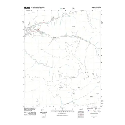
2011 Map of Benham
USGS Topo · Published 2011About this map
Lynch and Benham represent the deep coal mining heritage of Harlan County, situated along the Poor Fork Cumberland River. This 2011 map documents the industrial footprint of the region, featuring specific mining entrances like Portal 31 and Portal 30 near the Lynch Post Office. The topography is dominated by the massive ridge of Black Mountain, where the Big Black Mountain Lookout Tower stands as a prominent landmark near Garrison Gap.
Find a feature on this map
77 named features on this map. Tap any name to fly to it.
Don’t see what you’re looking for? This feature index may not catch every label — zoom into the map to look around manually.
Map Details
Editions of this 2011 Benham Map
This is the sole edition of this map. No revisions or reprints were ever made.
Other maps of this area

1887 · Jonesville
USGS Topo · 1:125,000

1890 · Whitesburg
USGS Topo · 1:125,000

1891 · Hazard
USGS Topo · 1:125,000

1891 · Jonesville
USGS Topo · 1:125,000

1892 · Whitesburg
USGS Topo · 1:125,000

1894 · Estillville
USGS Topo · 1:125,000

1913 · Oven Fork
USGS Topo · 1:48,000

1915 · Whitesburg
USGS Topo · 1:62,500

1916 · Cornettsville
USGS Topo · 1:62,500

1916 · Nolansburg
USGS Topo · 1:48,000