2010s Maps of Hart County, Kentucky
Explore 52 historic maps of Hart County from the 2010s. These maps offer a rare glimpse into what life looked like during the 2010s — showing old roads, neighborhoods, homes, and landmarks that have changed or disappeared over time.
Whether you're researching your family's past, planning a metal detecting trip, or studying how Hart County's landscape evolved across the 2010s, these high-resolution maps are a powerful tool for exploring the history of this region.
- Focus on a specific era: All maps on this page are from the 2010s, giving you a focused view of this time period.
- See what’s changed: Compare century-old streets, trails, and buildings to today's modern landscape using overlays and satellite layers.
- Research with precision: Use these maps for genealogy, historical research, land use analysis, or educational projects.
- View, download, or print: Maps are fully viewable online in high resolution, and can be downloaded or printed for your own records.
Start exploring Hart County's history through authentic maps from the 2010s. This is your window into the past.
Hart County, KY maps
(52)- 2010 Map of Center, 2010 Print
 2010 Center2010 Print · USGSCentral Kentucky's rural landscape is captured here in the early twenty-first century, showing a network of historic family-named cemeteries and crossroads. Researchers can locate ancestral sites like Sydnor Cemetery and Franklin Cemetery or trace the Little Barren River to the Horseshoe Bend.
 - 2010 Map of Canmer, 2010 Print
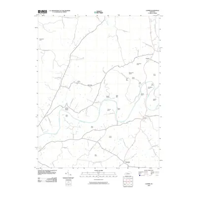 2010 Canmer2010 Print · USGSHart County communities like Canmer and Hardyville are captured at the start of the 2010s, centered on the winding Green River. Researchers can trace family history through local landmarks like Crump Cemetery or explore the river terrain of Watkins Island and Thomas Bend.
 - 2010 Map of Cub Run, 2010 Print
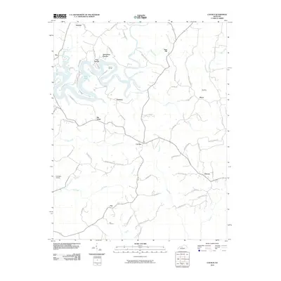 2010 Cub Run2010 Print · USGSThe rural borderlands of Hart and Grayson Counties are captured here just after the turn of the millennium. Genealogists can trace family connections in Cub Run and Bee, or locate the Cox Cemetery near the banks of Ugly Creek.
 - 2010 Map of Mammoth Cave, 2010 Print
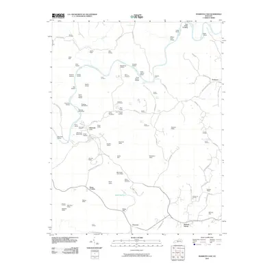 2010 Mammoth Cave2010 Print · USGSEdmonson County’s famous karst landscape is documented here in the early 21st century, centered on the surface features of the national park. Researchers can locate many small burial grounds and historic crossings, including Old Guides Cemetery, Dennison Ferry, and the remote Campground Cemetery.
 - 2010 Map of Upton, 2010 Print
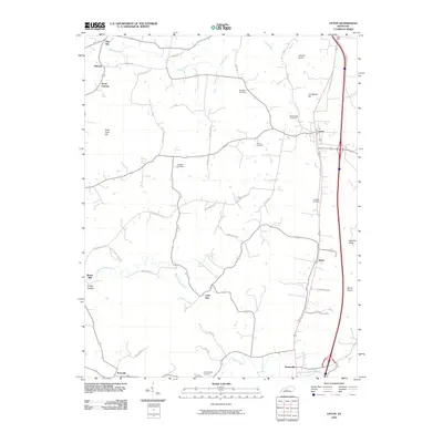 2010 Upton2010 Print · USGSCentral Kentucky's rural landscape is captured here in the early twenty-first century, showing the evolution of the corridor between Upton and Bonnieville. Genealogists and historians can trace family burial sites like Brashear Cemetery and find points of interest such as Riders Mill and Lone Star.
 - 2010 Map of Magnolia, 2010 Print
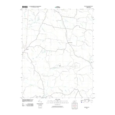 2010 Magnolia2010 Print · USGSMagnolia and Mount Sherman anchor this rural Kentucky landscape during the early twenty-first century. Researchers can trace family sites near Dezarn Cemetery or investigate the legacy of Aetna Furnace and the Magnolia Gas Storage Field.
 - 2010 Map of Munfordville, 2010 Print
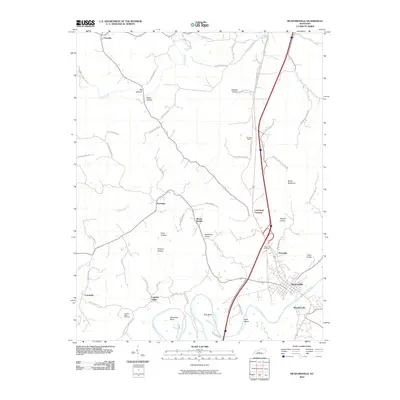 2010 Munfordville2010 Print · USGSHart County at the start of the twenty-first century reveals a landscape shaped by the Green River and a network of tight-knit rural settlements. Researchers can trace family sites near Logsdon Valley Cemetery or explore the geography of Skullbone Hollow and Woodsonville.
 - 2010 Map of Hudgins, 2010 Print
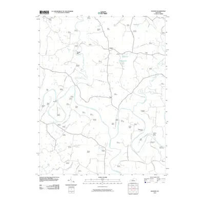 2010 Hudgins2010 Print · USGSGreen County’s rural riverfront comes to life in the early twenty-first century as the Green River loops through settlements like Powder Mill and Hudgins. Genealogists can trace family heritage through dozens of burial sites, including the Sidebottom Cemetery and Montgomery Cemetery.
 - 2010 Map of Horse Cave, 2010 Print
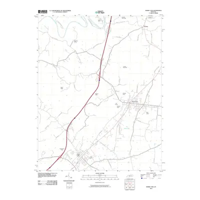 2010 Horse Cave2010 Print · USGSEarly 21st-century Barren County comes into focus as a landscape of karst features and historic transit corridors. Researchers can locate family landmarks like Woodsonville Cemetery and trace the topography from London Pace Sink to the heights of Huckleberry Knob.
 - 2010 Map of Park, 2010 Print
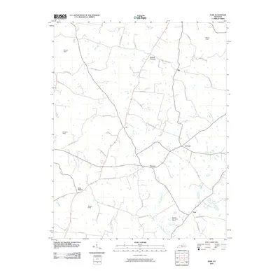 2010 Park2010 Print · USGSHart County's rural crossroads and prominent knobs are documented here in the early twenty-first century. Researchers can trace family history through numerous named routes like Liberty Schoolhouse Rd or explore the geography of Uno and Bear Wallow.
 - 2010 Map of Millerstown, 2010 Print
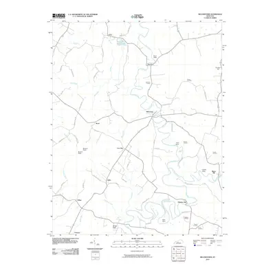 2010 Millerstown2010 Print · USGSThe Nolin River corridor in Kentucky reveals a landscape of mill sites and family cemeteries at the start of the 21st century. Researchers can trace rural settlement patterns through Millerstown, the namesake of the area, and locate historic sites like Wheelers Mill and Carbytown Cemetery.
 - 2010 Map of Nolin Lake, 2010 Print
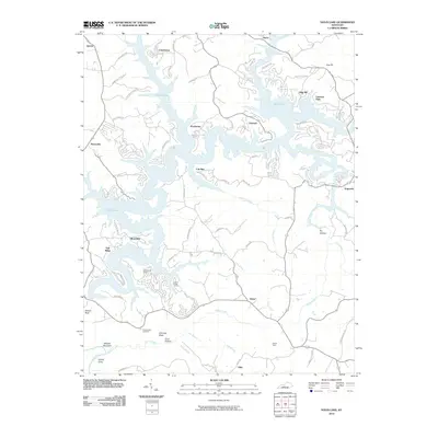 2010 Nolin Lake2010 Print · USGSNolin Lake's intricate shoreline and surrounding rural communities are captured here as they appeared in the early 21st century. Genealogists and local historians can trace the locations of Cove Hollow Cemetery, the historic Reeds Ferry, and old settlements like Cub Run.
 - 2010 Map of Hammonville, 2010 Print
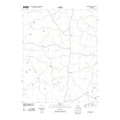 2010 Hammonville2010 Print · USGSLarue County communities are captured here in the early twenty-first century as they follow the ridges and creek beds of the Kentucky landscape. Genealogists can trace family roots at McCandless Cemetery or locate historic crossroads like Maxine and Hammonville.
 - 2013 Map of Horse Cave, 2013 Print
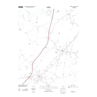 2013 Horse Cave2013 Print · USGSCave City and Horse Cave are shown at the start of the 2010s, illustrating the unique sinkhole-potted landscape and small-town Kentucky rail corridors. Researchers can trace family history through Woodsonville Cem or locate the Horse Cave Lookout Tower and Rowletts village.
 - 2013 Map of Park, 2013 Print
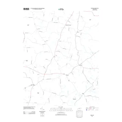 2013 Park2013 Print · USGSHart County at the start of the 2010s reveals a landscape of dispersed agricultural settlements and prominent knobs. Genealogists and local historians can trace family-named roads and rural centers like Bear Wallow, Seymour, and Bunnell Crossing.
 - 2013 Map of Hammonville, 2013 Print
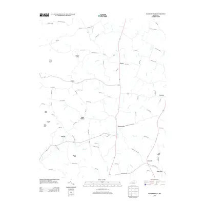 2013 Hammonville2013 Print · USGSHammonville and the surrounding knobs of Larue County are captured here in the early twenty-first century. Genealogists and local historians can locate several family-named landmarks and burial grounds, including McCanless Cem, Gaddie Cem, and Barefoot Hollow.
 - 2013 Map of Center, 2013 Print
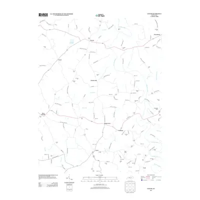 2013 Center2013 Print · USGSIn the early twenty-first century, this part of Metcalfe County remained a landscape of scattered rural hamlets and deep family roots. Genealogists can trace local history through dozens of named burial sites like Sandidge Cem or Kidd Cem and landmarks such as Pilot Knob.
 - 2013 Map of Hudgins, 2013 Print
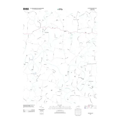 2013 Hudgins2013 Print · USGSThe Green River valley comes alive in this 2013 survey, showing a landscape defined by sharp river bends and high knobs. Genealogists can trace decades of local history through dozens of family burial sites, including Sidebottom Cem, Montgomery Cem, and Kessler Cem.
 - 2013 Map of Canmer, 2013 Print
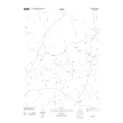 2013 Canmer2013 Print · USGSHart County's river-bottom lands and upland knobs are captured here in the early twenty-first century as the Green River winds past small Kentucky settlements. Researchers can trace family sites near Hardyville and Canmer, or locate the historic Crump Cem and Buckner Spring.
 - 2013 Map of Munfordville, 2013 Print
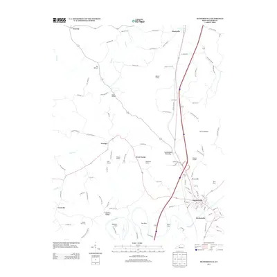 2013 Munfordville2013 Print · USGSHart County's river-bend settlements and deep valley topography are recorded here in the early twenty-first century. Genealogists and local historians can trace family roots through locations like Logsdon Valley Cem, Woodsonville, and the remote Kessinger crossroads.
 - 2013 Map of Mammoth Cave, 2013 Print
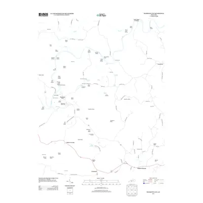 2013 Mammoth Cave2013 Print · USGSEdmonson County’s subterranean and river landscapes are shown here in the early twenty-first century. Genealogists and local historians can locate many family burial sites like Old Guides Cem and France Cem or trace old routes to Dennison Ferry.
 - 2013 Map of Cub Run, 2013 Print
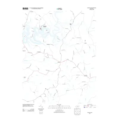 2013 Cub Run2013 Print · USGSThis rural Kentucky landscape near the Hart and Grayson county line is captured here in the early twenty-first century. Researchers can trace family sites like Cox Cem and the settlement at Cub Run, or locate historical points such as Lines Mill and Big Sink.
 - 2013 Map of Upton, 2013 Print
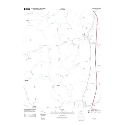 2013 Upton2013 Print · USGSThe heart of rural Kentucky is captured here just after the turn of the millennium, showing the region between Upton and Bonnieville. Researchers can locate numerous local burial sites like Leesville Cem and trace the paths of Bacon Cr and Sandy Cr.
 - 2013 Map of Magnolia, 2013 Print
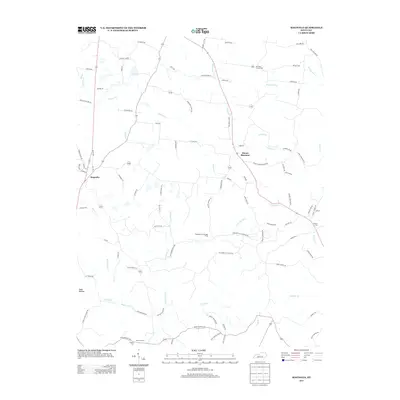 2013 Magnolia2013 Print · USGSLarue County in the early twenty-first century remains a landscape of winding creeks and quiet rural settlements. Researchers can trace family names and local landmarks through sites like Mt Tabor Church Cem, the settlement of Aetna Furnace, and the Magnolia Gas Storage Field.
 - 2013 Map of Millerstown, 2013 Print
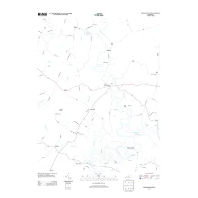 2013 Millerstown2013 Print · USGSThe river loops and family ridges of rural Kentucky are preserved in this 2010s survey. Researchers can trace ancestral locations near Millerstown and Wheelers Mill, or locate family plots at Carbytown Cem and Copelin Cemetery.
Showing maps 1-25 of 52
Top cities of Hart County
Frequently asked questions
- What are the different types of historical maps available for Hart County?
- What is the oldest map of Hart County?
- Where can I purchase historical maps of Hart County for my home or office?
- Where can I download high-res historical maps of Hart County?
- Are there historical topographic maps available for Hart County?
- Is there historical aerial imagery available for Hart County?
- Where are historical maps of Hart County sourced from?