Old Maps of Bear Wallow, Kentucky for Metal Detecting
Plan your next treasure hunt with 11 historic maps of Bear Wallow. Find old homesites, ghost towns, trails, and gathering spots that may be lost to time — perfect for identifying promising metal detecting locations.
- Locate forgotten sites: Uncover places like long-lost settlements, abandoned rail lines, or gathering spots.
- Plan better hunts: Use map overlays combined with LiDAR or satellite views to narrow in on historically rich areas.
- Made for detectorists: Thousands of hobbyists use these maps to discover relics, coins, and hidden history.
Use these historic maps to boost your research and find new opportunities beneath the surface of Bear Wallow.
Bear Wallow, KY maps
(11)- 1935 Map of Horse Cave
 1935 Horse Cave1935 Print · USGSHart and Barren counties in the mid-1930s reveal a landscape shaped by cave tourism and rural education. Genealogists can trace family footprints through dozens of local landmarks like Ragman Seminary, Bunnells Crossing, and New Hope Ch.
 - 1938 Map of Horse Cave
 1938 Horse Cave1938 Print · USGSKentucky's cave country thrives in the late 1930s as a hub of early auto tourism and rail commerce. Genealogists can trace family roots through dozen of rural landmarks like Walton Academy, Mammoth Onyx Cave, and the Big Meadow Ch.2 unique versions available
 - 1954 Map of Park, 1955 Print
 1954 Park1955 Print · USGSSouth-central Kentucky during the mid-fifties reveals a landscape of limestone sinkholes and prominent knobs at the junction of two major early highways. Trace family roots at Bear Wallow, find the Oak Ridge Sch, or locate numerous early Oil Wells around Rex.2 unique versions available
 - 1957 Map of Winchester, 1968 Print
 1957 Winchester1968 Print · USGSCentral Kentucky's landscape in the mid-twentieth century features the sprawling Fort Knox and the early parkway system. Genealogists and historians can trace rail lines like the Southern Railway and find landmarks from Bernheim Forest to Pilot Knob.3 unique versions available
 - 1960 Map of Winchester
 1960 Winchester1960 Print · USGSCentral Kentucky's diverse landscape is shown here at mid-century, from the bluegrass plains to the rugged Pottsville Escarpment. Genealogists and historians can trace the rail-and-river network connecting towns like Bardstown and Stanford alongside landmarks like Lake Cumberland.
 - 1986 Map of Campbellsville
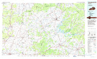 1986 Campbellsville1986 Print · USGSCentral Kentucky in the mid-eighties was a landscape of deep river valleys and high ridges. Genealogists can trace family holdings near rural settlements like Phillipsburg or locate landmarks such as Mt Gilead Ch and the Magnolia Gas Storage Field.2 unique versions available
 - 2010 Map of Park, 2010 Print
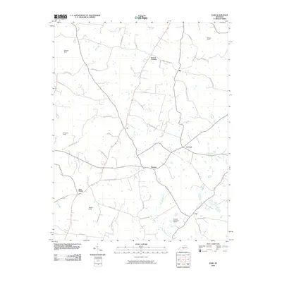 2010 Park2010 Print · USGSHart County's rural crossroads and prominent knobs are documented here in the early twenty-first century. Researchers can trace family history through numerous named routes like Liberty Schoolhouse Rd or explore the geography of Uno and Bear Wallow.
 - 2013 Map of Park, 2013 Print
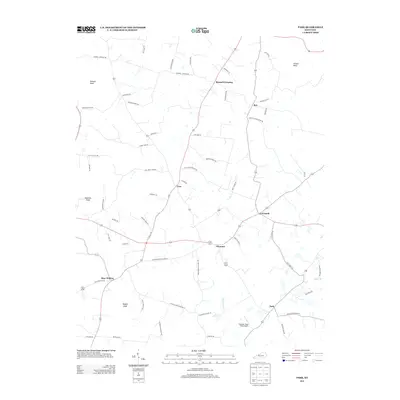 2013 Park2013 Print · USGSHart County at the start of the 2010s reveals a landscape of dispersed agricultural settlements and prominent knobs. Genealogists and local historians can trace family-named roads and rural centers like Bear Wallow, Seymour, and Bunnell Crossing.
 - 2016 Map of Park, 2016 Print
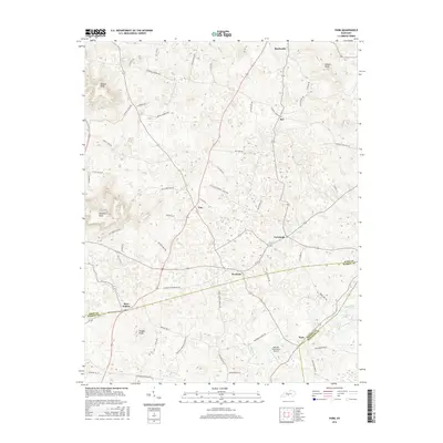 2016 Park2016 Print · USGSHart County's rural landscape is captured here in the mid-2010s, showing the intricate network of family-named roads and small settlements. Researchers can trace local landmarks like Natchez Trace Farm Airport, the community of Bear Wallow, and water sources like Drury Roberts Spring.
 - 2019 Map of Park, 2019 Print
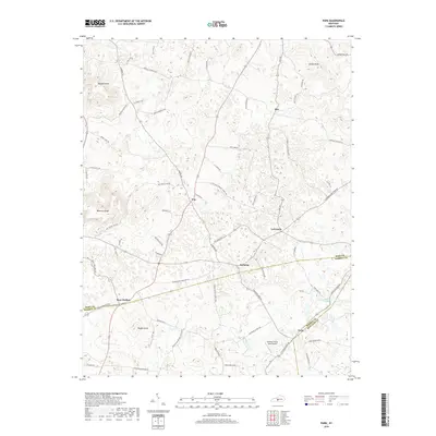 2019 Park2019 Print · USGSThe crossroads of Hart and Barren counties are captured here in a time when rural life still centers on historic communities like Seymour and Uno. Genealogists and local historians can trace family-named landmarks including Dawson Knob and the Drury Roberts Spring.
 - 2022 Map of Park, 2022 Print
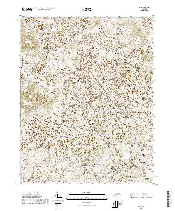 2022 Park2022 Print · USGSHart County's rural crossroads and family homesteads are meticulously documented in this contemporary survey of central Kentucky. Genealogists can trace family heritage through numerous sites like Bearwallow Baptist Cem, Mcinteer Family Cem, and the Slave Cem.
End of results
Showing maps 1-11 of 11
Top cities near Bear Wallow
- Glasgow historical maps
- Cave City historical maps
- Horse Cave historical maps
- Edmonton historical maps
- Munfordville historical maps
- Park City historical maps
See more
Frequently asked questions
- What are the different types of historical maps available for Bear Wallow?
- What is the oldest map of Bear Wallow?
- Where can I purchase historical maps of Bear Wallow for my home or office?
- Where can I download high-res historical maps of Bear Wallow?
- Are there historical topographic maps available for Bear Wallow?
- Is there historical aerial imagery available for Bear Wallow?
- Where are historical maps of Bear Wallow sourced from?