Old Maps of Bonnieville, Kentucky for Metal Detecting
Plan your next treasure hunt with 20 historic maps of Bonnieville. Find old homesites, ghost towns, trails, and gathering spots that may be lost to time — perfect for identifying promising metal detecting locations.
- Locate forgotten sites: Uncover places like long-lost settlements, abandoned rail lines, or gathering spots.
- Plan better hunts: Use map overlays combined with LiDAR or satellite views to narrow in on historically rich areas.
- Made for detectorists: Thousands of hobbyists use these maps to discover relics, coins, and hidden history.
Use these historic maps to boost your research and find new opportunities beneath the surface of Bonnieville.
Bonnieville, KY maps
(20)- 1934 Map of Munfordville
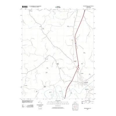
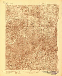 1934 Munfordville1934 Print · USGSHart County communities line the corridor of the Green River and the Nashville Road during the mid-1930s. Genealogists can trace family footprints through dozens of local landmarks like Poundstone Roller Mill, Big Springs Cem, and Priceville.
 - 1937 Map of Munfordville
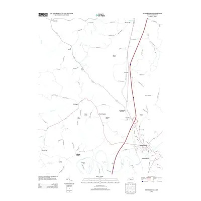
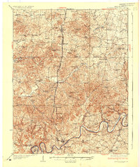 1937 Munfordville1937 Print · USGSThe Green River valley in the 1930s was a landscape of river fords and knob-country schools. Genealogists can trace family footprints across dozens of local sites like Falling Springs Ch, Big Springs Cem, and the old Rider Mill.
 - 1953 Map of Munfordville, 1955 Print
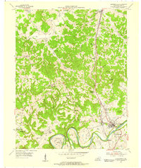 1953 Munfordville1955 Print · USGSMid-century Hart County centers on the vital river crossing at Munfordville as the regional economy shifts between rail and highway. Local historians can trace family sites like Puckett Cem, the Euclid Sch, and the Civil War Monument.2 unique versions available
 - 1954 Map of Upton, 1955 Print
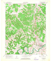
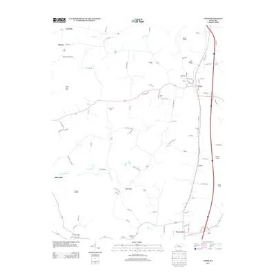
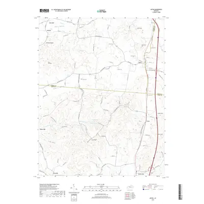
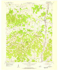 1954 Upton1955 Print · USGSCentered on the Hardin and Hart county line in the mid-fifties, this area shows a landscape of rail-linked towns and karst springs. Researchers can trace family history through sites like Lucas Grove Ch, Upton Cem, and the old mill at Riders Mill.
 - 1957 Map of Winchester, 1968 Print
 1957 Winchester1968 Print · USGSCentral Kentucky's landscape in the mid-twentieth century features the sprawling Fort Knox and the early parkway system. Genealogists and historians can trace rail lines like the Southern Railway and find landmarks from Bernheim Forest to Pilot Knob.3 unique versions available
 - 1960 Map of Winchester
 1960 Winchester1960 Print · USGSCentral Kentucky's diverse landscape is shown here at mid-century, from the bluegrass plains to the rugged Pottsville Escarpment. Genealogists and historians can trace the rail-and-river network connecting towns like Bardstown and Stanford alongside landmarks like Lake Cumberland.
 - 1966 Map of Munfordville, 1968 Print
 1966 Munfordville1968 Print · USGSThe Green River corridor and the Louisville and Nashville rail line define this Hart County landscape during the mid-1960s. Genealogists and local historians can trace family roots at Rocky Hill Ch, locate the Civil War Monument, or find old school sites like Carters Dowling Sch.
 - 1967 Map of Upton, 1969 Print
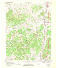 1967 Upton1969 Print · USGSUpton and Bonnieville are captured in the late sixties along the Louisville and Nashville rail line. Genealogy researchers can trace family landmarks and rural hubs like Lone Star, Riders Mill, and Stoney Point Ch.2 unique versions available
 - 1979 Map of Upton, 1984 Print
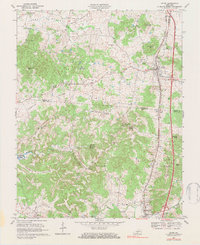 1979 Upton1984 Print · USGSThe Kentucky rail-and-road corridor between Hardin and Hart Counties is captured here during the late seventies. Researchers can trace rural life through sites like Riders Mill, the Louisville and Nashville railroad, and dozens of family cemeteries like Brashear Cem.
 - 1986 Map of Campbellsville
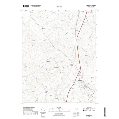
 1986 Campbellsville1986 Print · USGSCentral Kentucky in the mid-eighties was a landscape of deep river valleys and high ridges. Genealogists can trace family holdings near rural settlements like Phillipsburg or locate landmarks such as Mt Gilead Ch and the Magnolia Gas Storage Field.2 unique versions available
 - 2010 Map of Upton, 2010 Print
 2010 Upton2010 Print · USGSCovers Bonnieville, including Lone Star, Flint Hill, and other nearby areas
 - 2010 Map of Munfordville, 2010 Print
 2010 Munfordville2010 Print · USGSCovers Bonnieville, including Munfordville, Kessinger, and other nearby areas
 - 2013 Map of Munfordville, 2013 Print
 2013 Munfordville2013 Print · USGSCovers Bonnieville, including Munfordville, Kessinger, and other nearby areas
 - 2013 Map of Upton, 2013 Print
 2013 Upton2013 Print · USGSCovers Bonnieville, including Lone Star, Flint Hill, and other nearby areas
 - 2016 Map of Munfordville, 2016 Print
 2016 Munfordville2016 Print · USGSCovers Bonnieville, including Munfordville, Kessinger, and other nearby areas
 - 2016 Map of Upton, 2016 Print
 2016 Upton2016 Print · USGSCovers Bonnieville, including Lone Star, Flint Hill, and other nearby areas
 - 2019 Map of Upton, 2019 Print
 2019 Upton2019 Print · USGSCovers Bonnieville, including Lone Star, Flint Hill, and other nearby areas
 - 2019 Map of Munfordville, 2019 Print
 2019 Munfordville2019 Print · USGSCovers Bonnieville, including Munfordville, Kessinger, and other nearby areas
 - 2022 Map of Upton, 2022 Print
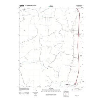
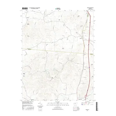
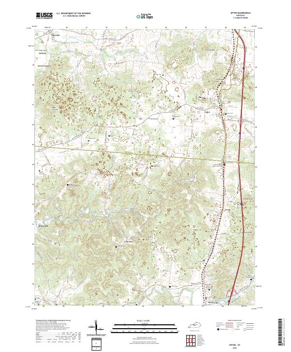 2022 Upton2022 Print · USGSThe Kentucky borderlands of Hardin and Hart counties are captured here in the early twenty-first century, showcasing a landscape of rural crossroads and family homesteads. Researchers can trace ancestral locations at Upton and Lone Star or find remote burial sites like Maxie Gaddie Cem and Lone Star Cem.
 - 2022 Map of Munfordville, 2022 Print
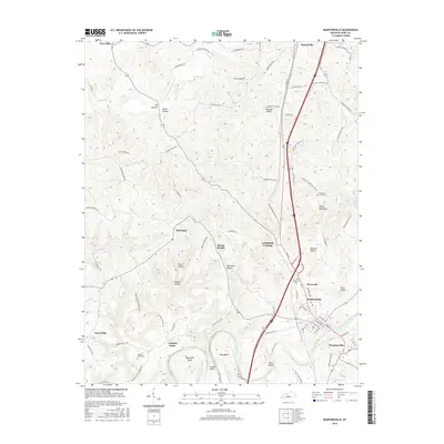
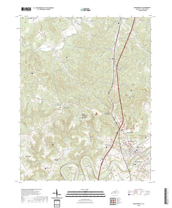 2022 Munfordville2022 Print · USGSHart County and the Green River corridor are shown in the early twenty-first century, centered on the community of Munfordville. Local researchers can trace family roots through numerous rural landmarks like the Hart County Poor House Cem, Woodsonville, and Priceville.
End of results
Showing maps 1-20 of 20
Top cities near Bonnieville
- Hodgenville historical maps
- Cave City historical maps
- Horse Cave historical maps
- Munfordville historical maps
- Sonora historical maps
Frequently asked questions
- What are the different types of historical maps available for Bonnieville?
- What is the oldest map of Bonnieville?
- Where can I purchase historical maps of Bonnieville for my home or office?
- Where can I download high-res historical maps of Bonnieville?
- Are there historical topographic maps available for Bonnieville?
- Is there historical aerial imagery available for Bonnieville?
- Where are historical maps of Bonnieville sourced from?