Old Maps of Daniel Boone, Kentucky for Genealogy
Trace your family roots with 13 historic maps of Daniel Boone. These high-res maps reveal old neighborhoods, homesites, landmarks, and streets — helping you uncover where your ancestors lived and how the area evolved over time.
- Explore historic neighborhoods: Identify where your relatives may have lived in the 1800s or 1900s.
- Compare maps over time: Trace the changes in streets, buildings, and landmarks for multi-generational research.
- Perfect for genealogy & ancestry research: Used by family historians and researchers to map out lineage and migration.
These maps are an incredible resource for exploring your personal connection to Daniel Boone's past.
Daniel Boone, KY maps
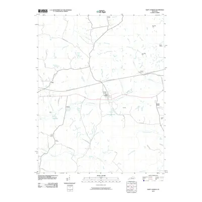
(13)- 1909 Map of Dawson Springs
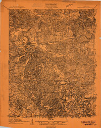 1909 Dawson Springs1909 Print · USGSWestern Kentucky at the peak of its rail-and-river era shows a landscape dotted with country schools and small depots. Genealogists can trace family roots through numerous landmarks like Hamby Sta, Pooles Mill Bridge, and Cross Roads Church.
 - 1911 Map of Dawson Springs
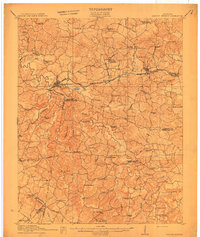 1911 Dawson Springs1911 Print · USGSWestern Kentucky’s coal and rail corridors are captured here just after the turn of the century. Genealogists can trace family footprints through dozens of rural sites like the Daniel Boone School, Franklin's Store, and the Fox Run Mine.2 unique versions available
 - 1954 Map of Evansville
 1954 Evansville1954 Print · USGSThe Ohio River borderlands between Indiana and Kentucky appear here during a period of robust industrial and military growth. Genealogists and researchers can trace the rail corridors of the Illinois Central and find landmarks like US Lock and Dam No 48 or Camp Breckinridge.
 - 1954 Map of Saint Charles, 1956 Print
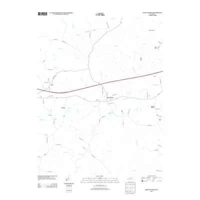
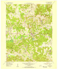 1954 Saint Charles1956 Print · USGSWestern Kentucky's coal country comes alive in the mid-1950s as the railroad and mining industries shape the landscape around Saint Charles. Trace ancestral roots through rural sites like Daniel Boone or locate family plots at Christian Privilege Cem & Ch and Hamby Cem.
 - 1957 Map of Evansville, 1969 Print
 1957 Evansville1969 Print · USGSIndiana and Kentucky meet along the Ohio River in this mid-century survey of a vital industrial and transport corridor. Genealogists and historians can trace the development of river towns like Owensboro and Newburgh or locate old rail lines like the Southern Ry.3 unique versions available
 - 1961 Map of Evansville
 1961 Evansville1961 Print · USGSThe Ohio River valley and its surrounding coalfields are captured here during the late fifties and early sixties. Trace the industrial rail networks of the Illinois Central RR and explore regional landmarks like Mammoth Cave National Park and Angel Mounds State Memorial.2 unique versions available
 - 1963 Map of Saint Charles, 1964 Print
 1963 Saint Charles1964 Print · USGSHopkins County coal country is captured here in the early sixties, showing the expansion of the Western Kentucky Parkway alongside established rail lines. Researchers can trace family sites at Christian Privilege Cem, Southard Ch, and the old mining community at Ilsley.
 - 1983 Map of Madisonville, 1984 Print
 1983 Madisonville1984 Print · USGSThe Western Kentucky coalfields and river valleys come into focus in the early eighties as the rail-and-river economy matured. Genealogists can trace family footprints across Dawson Springs, Mortons Gap, and Slaughters, or locate landmarks like Shake Rag Hills and Lake Malone.
 - 2010 Map of Saint Charles, 2010 Print
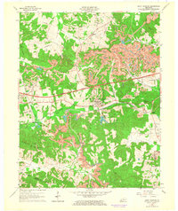
 2010 Saint Charles2010 Print · USGSCovers Daniel Boone, including Hamby, Ilsley, and other nearby areas
 - 2013 Map of Saint Charles, 2013 Print
 2013 Saint Charles2013 Print · USGSCovers Daniel Boone, including Hamby, Ilsley, and other nearby areas
 - 2016 Map of Saint Charles, 2016 Print
 2016 Saint Charles2016 Print · USGSCovers Daniel Boone, including Hamby, Ilsley, and other nearby areas
 - 2019 Map of Saint Charles, 2019 Print
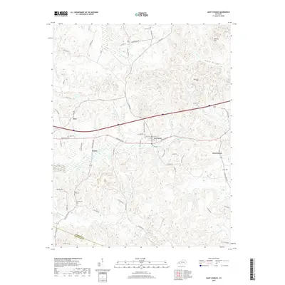 2019 Saint Charles2019 Print · USGSCovers Daniel Boone, including Hamby, Ilsley, and other nearby areas
 - 2022 Map of Saint Charles, 2022 Print
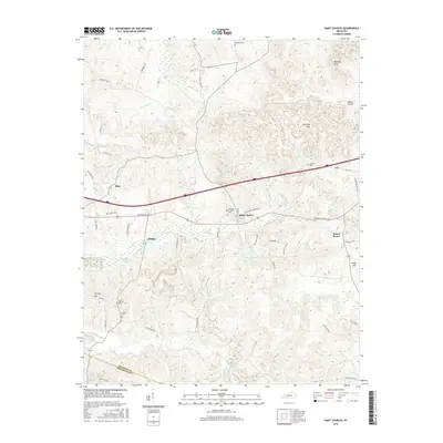
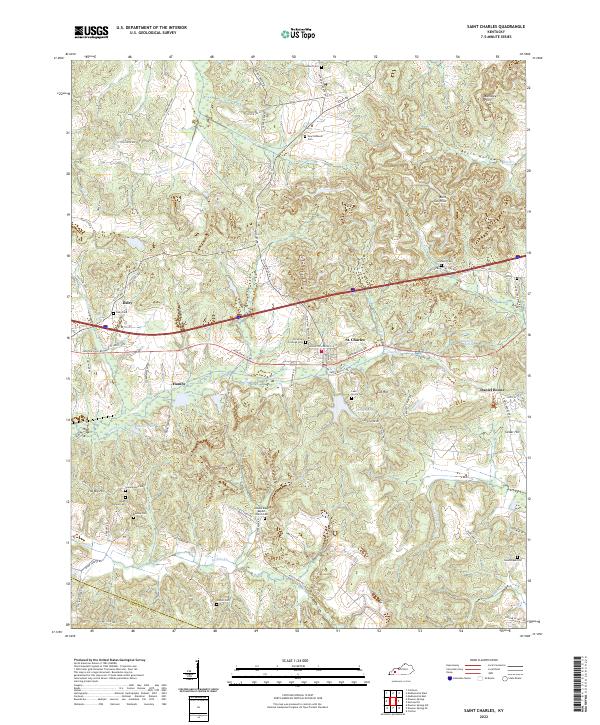 2022 Saint Charles2022 Print · USGSSettlement and industry intersect in this corner of Kentucky, where the legacy of coal mining remains visible in the landscape. Genealogists can trace family roots at New Suthards Cem, Union Temple Ch, and the small community of Ilsley.
End of results
Showing maps 1-13 of 13
Top cities near Daniel Boone
- Madisonville historical maps
- Providence historical maps
- Dawson Springs historical maps
- Earlington historical maps
- Nortonville historical maps
- Mortons Gap historical maps
See more
Frequently asked questions
- What are the different types of historical maps available for Daniel Boone?
- What is the oldest map of Daniel Boone?
- Where can I purchase historical maps of Daniel Boone for my home or office?
- Where can I download high-res historical maps of Daniel Boone?
- Are there historical topographic maps available for Daniel Boone?
- Is there historical aerial imagery available for Daniel Boone?
- Where are historical maps of Daniel Boone sourced from?