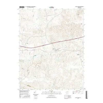
2016 Map of Saint Charles
USGS Topo · Published 2016About this map
Saint Charles sits as a central hub in this western Kentucky landscape, where the boundary between Hopkins Co and Christian Co defines the southern reaches. The area is characterized by a dense network of local roads such as Nortonville Rd and Buttermilk Rd, which connect small settlements like Hamby and Ilsley. Local history is preserved in numerous family and community sites, including the Christian Privilege Cem and Union Temple Cem.
Find a feature on this map
59 named features on this map. Tap any name to fly to it.
Don’t see what you’re looking for? This feature index may not catch every label — zoom into the map to look around manually.
Map Details
Editions of this 2016 Saint Charles Map
This is the sole edition of this map. No revisions or reprints were ever made.
Other maps of this area

1907 · Earlington
USGS Topo · 1:48,000

1909 · Dawson Springs
USGS Topo · 1:48,000

1909 · Earlington
USGS Topo · 1:62,500

1909 · Madisonville
USGS Topo · 1:62,500

1911 · Dawson Springs
USGS Topo · 1:62,500

1912 · Nortonville
USGS Topo · 1:62,500

1952 · Crofton
USGS Topo · 1:24,000

1953 · Dawson Springs SE
USGS Topo · 1:24,000

1953 · Nortonville
USGS Topo · 1:24,000

1953 · Madisonville East
USGS Topo · 1:24,000