2000s (21st Century) Maps of McKee, Kentucky
Explore 10 historic maps of McKee from the 2000s (21st Century). These maps offer a rare glimpse into what life looked like during the 2000s — showing old roads, neighborhoods, homes, and landmarks that have changed or disappeared over time.
Whether you're researching your family's past, planning a metal detecting trip, or studying how McKee's landscape evolved across the 2000s, these high-resolution maps are a powerful tool for exploring the history of this region.
- Focus on a specific era: All maps on this page are from the 2000s, giving you a focused view of this time period.
- See what’s changed: Compare century-old streets, trails, and buildings to today's modern landscape using overlays and satellite layers.
- Research with precision: Use these maps for genealogy, historical research, land use analysis, or educational projects.
- View, download, or print: Maps are fully viewable online in high resolution, and can be downloaded or printed for your own records.
Start exploring McKee's history through authentic maps from the 2000s. This is your window into the past.
McKee, KY maps
(10)- 2010 Map of Sandgap, 2010 Print
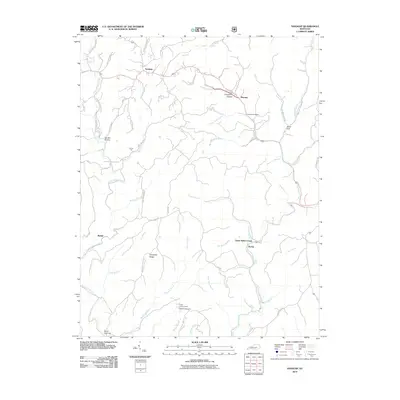 2010 Sandgap2010 Print · USGSCovers McKee, including Waneta, Sand Gap, and other nearby areas
 - 2011 Map of McKee, 2011 Print
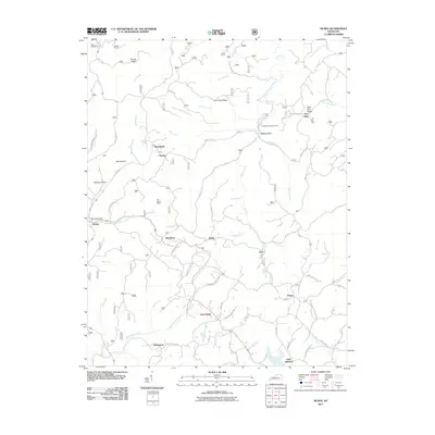 2011 McKee2011 Print · USGSCovers McKee, including Bradshaw, Privett, and other nearby areas
 - 2013 Map of McKee, 2013 Print
 2013 McKee2013 Print · USGSCovers McKee, including Bradshaw, Privett, and other nearby areas
 - 2013 Map of Sandgap, 2013 Print
 2013 Sandgap2013 Print · USGSCovers McKee, including Waneta, Sand Gap, and other nearby areas
 - 2016 Map of Sandgap, 2016 Print
 2016 Sandgap2016 Print · USGSCovers McKee, including Waneta, Sand Gap, and other nearby areas
 - 2016 Map of McKee, 2016 Print
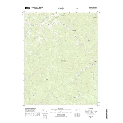
 2016 McKee2016 Print · USGSCovers McKee, including Bradshaw, Privett, and other nearby areas
 - 2019 Map of McKee, 2019 Print
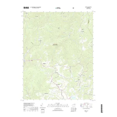 2019 McKee2019 Print · USGSCovers McKee, including Bradshaw, Privett, and other nearby areas
 - 2019 Map of Sandgap, 2019 Print
 2019 Sandgap2019 Print · USGSCovers McKee, including Waneta, Sand Gap, and other nearby areas
 - 2022 Map of McKee, 2022 Print
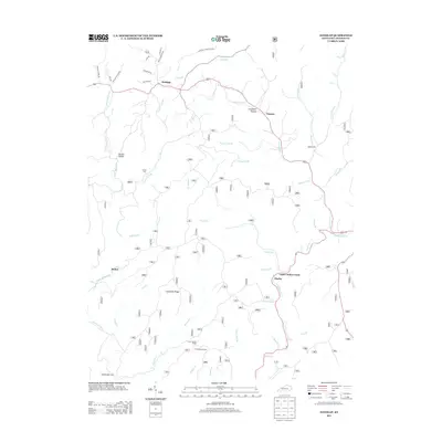
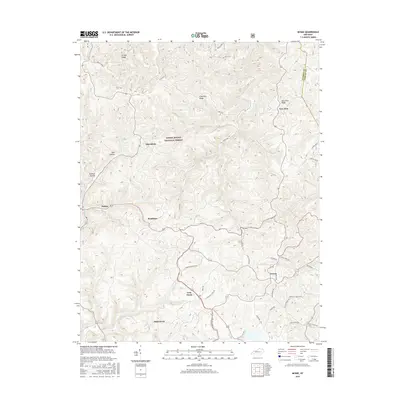
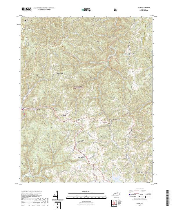 2022 McKee2022 Print · USGSJackson County is shown in detail during the early 2020s, centered on the community of McKee and the surrounding woodlands. Researchers can trace rural roads and family landmarks like Farmer Cemetery Rd, the Stelle Cemeteries, and Beulah Lake.
 - 2022 Map of Sandgap, 2022 Print
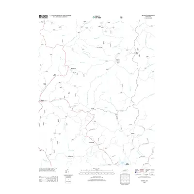
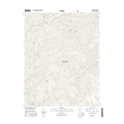
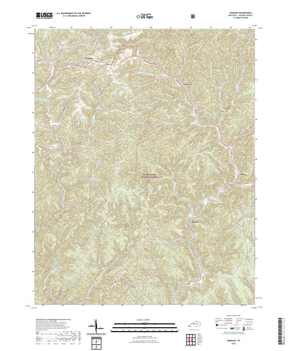 2022 Sandgap2022 Print · USGSJackson County, Kentucky, remains a land of deep ridges and historic trails in the early twenty-first century. Researchers can trace the path of the Sheltowee Trace Trl through the Daniel Boone National Forest and locate family landmarks like Carpenter Cem near Sandgap.
End of results
Showing maps 1-10 of 10
Top cities near McKee
- Annville historical maps
- Island City historical maps
- Livingston historical maps
- Willow Shoals historical maps
Top neighborhoods of McKee
Frequently asked questions
- What are the different types of historical maps available for McKee?
- What is the oldest map of McKee?
- Where can I purchase historical maps of McKee for my home or office?
- Where can I download high-res historical maps of McKee?
- Are there historical topographic maps available for McKee?
- Is there historical aerial imagery available for McKee?
- Where are historical maps of McKee sourced from?