2000s (21st Century) Maps of Douglass Hills, Kentucky
Explore 10 historic maps of Douglass Hills from the 2000s (21st Century). These maps offer a rare glimpse into what life looked like during the 2000s — showing old roads, neighborhoods, homes, and landmarks that have changed or disappeared over time.
Whether you're researching your family's past, planning a metal detecting trip, or studying how Douglass Hills's landscape evolved across the 2000s, these high-resolution maps are a powerful tool for exploring the history of this region.
- Focus on a specific era: All maps on this page are from the 2000s, giving you a focused view of this time period.
- See what’s changed: Compare century-old streets, trails, and buildings to today's modern landscape using overlays and satellite layers.
- Research with precision: Use these maps for genealogy, historical research, land use analysis, or educational projects.
- View, download, or print: Maps are fully viewable online in high resolution, and can be downloaded or printed for your own records.
Start exploring Douglass Hills's history through authentic maps from the 2000s. This is your window into the past.
Douglass Hills, KY maps
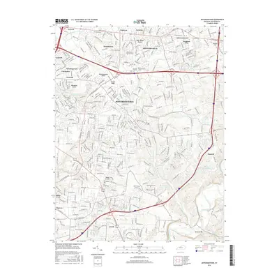
(10)- 2010 Map of Anchorage, 2010 Print
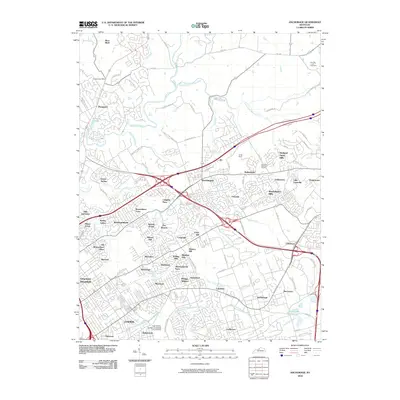 2010 Anchorage2010 Print · USGSCovers Douglass Hills, including Louisville, Lyndon, and other nearby areas
 - 2010 Map of Jeffersontown, 2010 Print
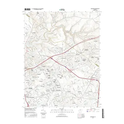
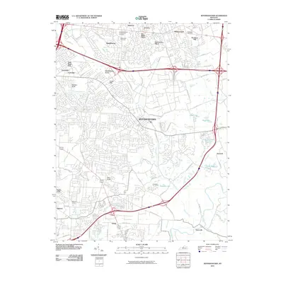 2010 Jeffersontown2010 Print · USGSCovers Douglass Hills, including Louisville, Jeffersontown, and other nearby areas
 - 2013 Map of Jeffersontown, 2013 Print
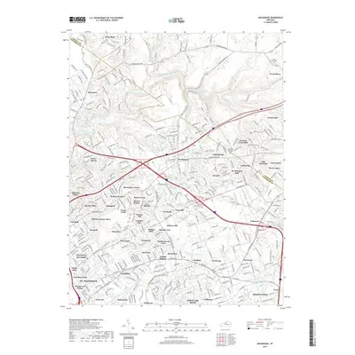
 2013 Jeffersontown2013 Print · USGSCovers Douglass Hills, including Louisville, Jeffersontown, and other nearby areas
 - 2013 Map of Anchorage, 2013 Print
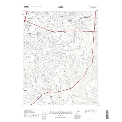
 2013 Anchorage2013 Print · USGSCovers Douglass Hills, including Louisville, Lyndon, and other nearby areas
 - 2016 Map of Jeffersontown, 2016 Print
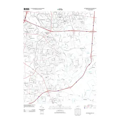
 2016 Jeffersontown2016 Print · USGSCovers Douglass Hills, including Louisville, Jeffersontown, and other nearby areas
 - 2016 Map of Anchorage, 2016 Print
 2016 Anchorage2016 Print · USGSCovers Douglass Hills, including Louisville, Lyndon, and other nearby areas
 - 2019 Map of Anchorage, 2019 Print
 2019 Anchorage2019 Print · USGSCovers Douglass Hills, including Louisville, Lyndon, and other nearby areas
 - 2019 Map of Jeffersontown, 2019 Print
 2019 Jeffersontown2019 Print · USGSCovers Douglass Hills, including Louisville, Jeffersontown, and other nearby areas
 - 2022 Map of Anchorage, 2022 Print
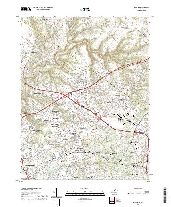 2022 Anchorage2022 Print · USGSThe eastern outskirts of Louisville are seen here in the early 2020s, showing a landscape of established neighborhoods and waterways. Trace family history at Berrytown Cem or explore the developments around Pewee Valley and Harrods Creek.
 - 2022 Map of Jeffersontown, 2022 Print
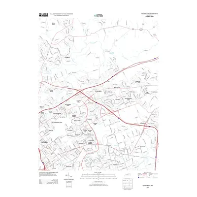
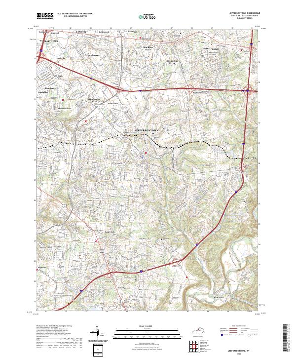 2022 Jeffersontown2022 Print · USGSEastern Jefferson County in the early 2020s shows a landscape of established suburban neighborhoods and historical corridors. Genealogists and local historians can trace burial sites like Middletown Historic Cem and the small-town roots of Jeffersontown and Ashville.
End of results
Showing maps 1-10 of 10
Top cities near Douglass Hills
- Louisville historical maps
- Jeffersonville historical maps
- Jeffersontown historical maps
- Clarksville historical maps
- Mount Washington historical maps
- Lyndon historical maps
See more
Frequently asked questions
- What are the different types of historical maps available for Douglass Hills?
- What is the oldest map of Douglass Hills?
- Where can I purchase historical maps of Douglass Hills for my home or office?
- Where can I download high-res historical maps of Douglass Hills?
- Are there historical topographic maps available for Douglass Hills?
- Is there historical aerial imagery available for Douglass Hills?
- Where are historical maps of Douglass Hills sourced from?