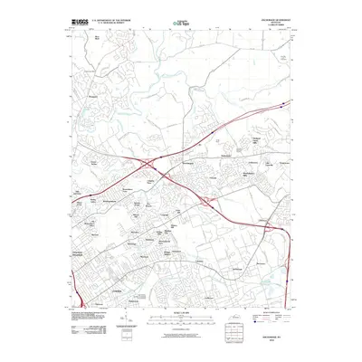
2010 Map of Anchorage
USGS Topo · Published 2010About this map
Harrods Creek and its many tributaries, including Wolf Pen Branch and the South Fork Harrods Creek, carve through the suburban landscape of northeastern Jefferson County. This 2010 survey illustrates a densely developed corridor where historic names like Anchorage and Prospect sit alongside dozens of established residential enclaves such as Barbourmeade and Graymoor-Devondale. The map reveals a complex transition from the older estates and institutions like Louisville Memorial Gardens to the modern educational footprint of the Isaac Shelby Campus University of Louisville. Cultural and local landmarks are well-represented, from the Harrods Creek Cemetery in the north to the historic residential clusters of Berrytown and Griffytown in the south. The intricate road network, featuring N Hurstbourne Pkwy and Old Westport Rd, demonstrates how the region's topography and hydrology have shaped the modern sprawl of the Louisville metropolitan area.
Find a feature on this map
89 named features on this map. Tap any name to fly to it.
Don’t see what you’re looking for? This feature index may not catch every label — zoom into the map to look around manually.
Map Details
Editions of this 2010 Anchorage Map
This is the sole edition of this map. No revisions or reprints were ever made.
Other maps of this area

1905 · Prospect
USGS Topo · 1:62,500

1907 · Louisville
USGS Topo · 1:62,500

1912 · Prospect
USGS Topo · 1:62,500

1929 · Taylorsville
USGS Topo · 1:62,500

1932 · La Grange
USGS Topo · 1:62,500

1937 · Jeffersonville
USGS Topo · 1:24,000

1937 · Charlestown
USGS Topo · 1:24,000

1938 · Owen
USGS Topo · 1:24,000

1946 · Jeffersonville
USGS Topo · 1:24,000

1948 · Owen
USGS Topo · 1:24,000