Old Maps of Girdler, Kentucky for Hiking & Exploration
Hike through history with 15 historic maps of Girdler. Explore old trails, ghost towns, and forgotten backroads — perfect for outdoor adventurers and local explorers.
- Rediscover forgotten places: Map out old mining camps, roads, and footpaths that no longer exist on modern maps.
- Layer with modern tools: Combine with LiDAR or satellite views to plan hikes through historical terrain.
- Made for exploration: Popular among hikers, overlanders, and local history lovers.
Use these maps to find adventure and explore the hidden past of Girdler.
Girdler, KY maps
(15)- 1886 Map of Cumberland Gap
 1886 Cumberland Gap1886 Print · USGSThe tri-state border region around the Cumberland Gap appears here in the 1880s, before modern development transformed these mountain passes. Genealogists and historians can trace early river crossings and settlements like Flat Lick, Tye Ferry, and Campbell Ford.
 - 1888 Map of Cumberland Gap
 1888 Cumberland Gap1888 Print · USGSThe tri-state wilderness of the Appalachians is captured in the late 1880s, centered on the strategic crossing at the Cumberland Gap. Trace the early river-and-road economy through features like Tye's Ferry, McHenry Ford, and the old town sites of Barboursville and Pineville.
 - 1891 Map of Cumberland Gap
 1891 Cumberland Gap1891 Print · USGSThe tri-state mountain corridor appears here in the late nineteenth century, showing the critical gateways through the Cumberland Mountains. Researchers can trace early river crossings like Mshenry Ford and historic settlements such as Barboursville and Pineville.7 unique versions available
 - 1952 Map of Fount, 1953 Print
 1952 Fount1953 Print · USGSKnox County in the early fifties is captured here as a landscape of tight-knit hollows and ridge-top settlements. Researchers can trace family history through dozens of localized sites like Dripping Spring Ch, the Louisville and Nashville line, and family cemeteries like Pittman Cem.
 - 1955 Map of Johnson City
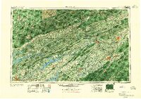 1955 Johnson City1955 Print · USGSEast Tennessee and the bordering highlands of Virginia and Kentucky appear here during the post-war industrial boom. You can trace the complex network of mountain ridges and new TVA lakes, from Johnson City to the coalfields near Middlesboro and Lynch.
 - 1957 Map of Johnson City, 1966 Print
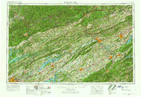 1957 Johnson City1966 Print · USGSUpper East Tennessee and Southwest Virginia are shown here during the mid-sixties transition of the Appalachians. Researchers can trace the industrial rail hubs of Kingsport, the sprawling waters of Cherokee Lake, and the historic Cumberland Gap.
 - 1960 Map of Johnson City
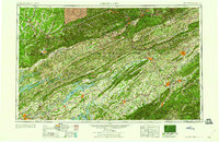 1960 Johnson City1960 Print · USGSUpper East Tennessee and the surrounding tri-state area are shown in the mid-fifties during the height of the TVA reservoir era. Trace the industrial rail lines of the Southern and Louisville and Nashville between Kingsport and Johnson City.
 - 1963 Map of Johnson City
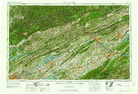 1963 Johnson City1963 Print · USGSThe Tri-Cities and the surrounding Appalachian ridges are shown in detail during the early sixties, highlighting the era's vital rail and river networks. Genealogists and historians can trace the routes of the Clinchfield RR and locate settlements from Rogersville to Elizabethton.
 - 1974 Map of Fount, 1975 Print
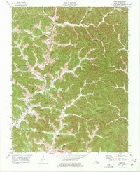 1974 Fount1975 Print · USGSKnox County's coal and timber country is captured here in the mid-seventies as industry and mountain tradition meet. Genealogists can trace family landmarks like Hammons Cem and Mills Cem or locate old settlements at Girdler and Bimble.
 - 1977 Map of Middlesboro, 1983 Print
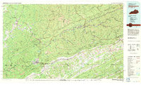 1977 Middlesboro1983 Print · USGSThe tri-state border region of Kentucky, Tennessee, and Virginia is shown here in the late seventies as the rail-and-river economy hummed through the gaps. Trace local family roots and transit routes through Middlesboro, Harlan, and Cumberland Gap National Historical Park.
 - 2010 Map of Fount, 2010 Print
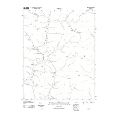 2010 Fount2010 Print · USGSKnox County, Kentucky, is shown here in the early twenty-first century as a landscape of interconnected hollows and family-named ridges. Genealogists can locate numerous burial sites such as Castle Cemetery and Asher Cemetery near settlements like Girdler and Cannon.
 - 2013 Map of Fount, 2013 Print
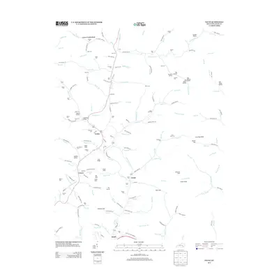 2013 Fount2013 Print · USGSIn the hills of Knox County during the early twenty-first century, small communities like Girdler and Fount remain centered around the winding Collins Fork. Genealogists can locate numerous family burial grounds including Hignite Cem, Bingham Cem, and Pittman Cem.
 - 2016 Map of Fount, 2016 Print
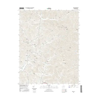 2016 Fount2016 Print · USGSKnox County hill country is captured here in the mid-2010s, showing a landscape defined by intricate creek branches and family-settled hollows. Genealogists can locate dozens of burial sites like Castle Cem and Pittman Cem near the communities of Girdler and Hinkle.
 - 2019 Map of Fount, 2019 Print
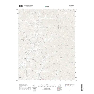 2019 Fount2019 Print · USGSKnox County, Kentucky, is shown here in the late twenty-teens as a landscape of interconnected hollows and family-named cemeteries. Genealogists and local historians can locate ancestral sites like Hampton Cemetery and Mills Cemetery near the communities of Girdler and Fount.
 - 2022 Map of Fount, 2022 Print
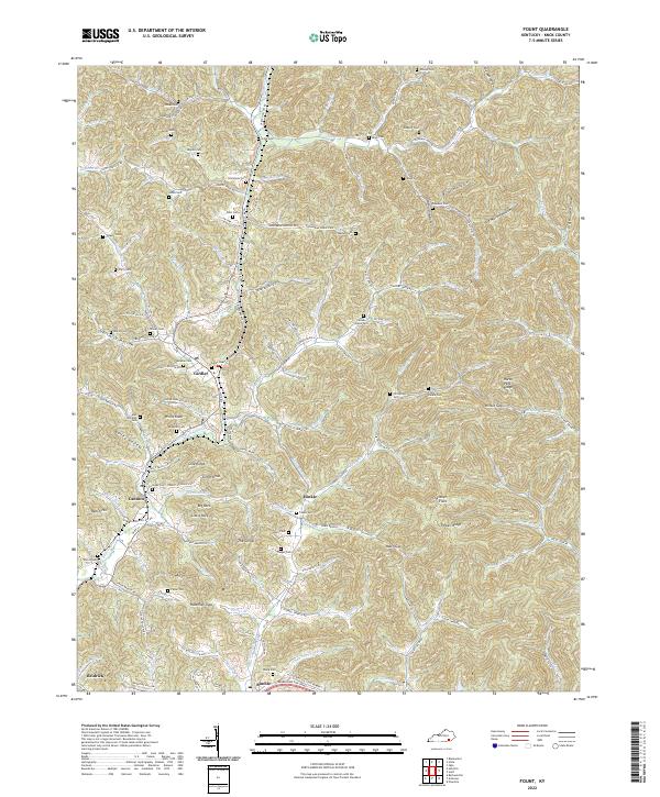 2022 Fount2022 Print · USGSKnox County's ridge-and-hollow country is documented here in the early 2020s, showing the enduring footprint of rural Appalachian life. Genealogists can locate dozens of family burial sites like Bingham Cem and Castle Cem near settlements like Bimble and Girdler.
End of results
Showing maps 1-15 of 15
Top cities near Girdler
- London historical maps
- Corbin historical maps
- Barbourville historical maps
- Pineville historical maps
- Manchester historical maps
Frequently asked questions
- What are the different types of historical maps available for Girdler?
- What is the oldest map of Girdler?
- Where can I purchase historical maps of Girdler for my home or office?
- Where can I download high-res historical maps of Girdler?
- Are there historical topographic maps available for Girdler?
- Is there historical aerial imagery available for Girdler?
- Where are historical maps of Girdler sourced from?