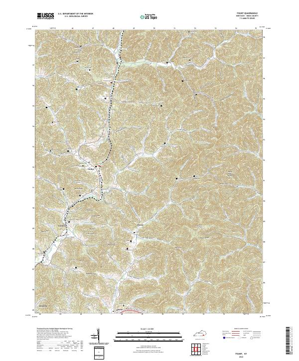
2022 Map of Fount
USGS Topo · Published 2022About this map
Girdler and Cannon anchor this Knox County landscape, where small communities are woven into a complex network of hollows and ridges. The terrain is defined by significant elevations like Willis Knob and Clinch Knob, while the valley floors are home to numerous family burial grounds including Asher Cem, Hawn Cem, and Pittman Cem. The drainage patterns of Richland Cr and its tributaries, such as Little Richland Cr and Pumpkin Run, historically dictated the placement of roads and homesteads. Local landmarks like The Corral and the twin formations of Big Rock and Little Rock provide distinct navigational points within the densely wooded slopes. This modern survey reflects the enduring rural character of the region, where named gaps like Hawn Gap and Hinkle Gap continue to serve as the primary conduits between isolated valley settlements.
Find a feature on this map
140 named features on this map. Tap any name to fly to it.
Don’t see what you’re looking for? This feature index may not catch every label — zoom into the map to look around manually.
Map Details
Editions of this 2022 Fount Map
This is the sole edition of this map. No revisions or reprints were ever made.
Other maps of this area

1886 · Cumberland Gap
USGS Topo · 1:125,000

1888 · Cumberland Gap
USGS Topo · 1:125,000

1891 · Manchester
USGS Topo · 1:125,000

1891 · Cumberland Gap
USGS Topo · 1:125,000

1903 · Pineville
USGS Topo · 1:48,000

1952 · Barbourville
USGS Topo · 1:24,000

1952 · Heidrick
USGS Topo · 1:24,000

1952 · Hima
USGS Topo · 1:24,000

1952 · Blackwater
USGS Topo · 1:24,000

1952 · Fount
USGS Topo · 1:24,000