2010s Maps of Larue County, Kentucky
Explore 52 historic maps of Larue County from the 2010s. These maps offer a rare glimpse into what life looked like during the 2010s — showing old roads, neighborhoods, homes, and landmarks that have changed or disappeared over time.
Whether you're researching your family's past, planning a metal detecting trip, or studying how Larue County's landscape evolved across the 2010s, these high-resolution maps are a powerful tool for exploring the history of this region.
- Focus on a specific era: All maps on this page are from the 2010s, giving you a focused view of this time period.
- See what’s changed: Compare century-old streets, trails, and buildings to today's modern landscape using overlays and satellite layers.
- Research with precision: Use these maps for genealogy, historical research, land use analysis, or educational projects.
- View, download, or print: Maps are fully viewable online in high resolution, and can be downloaded or printed for your own records.
Start exploring Larue County's history through authentic maps from the 2010s. This is your window into the past.
Larue County, KY maps
(52)- 2010 Map of Raywick, 2010 Print
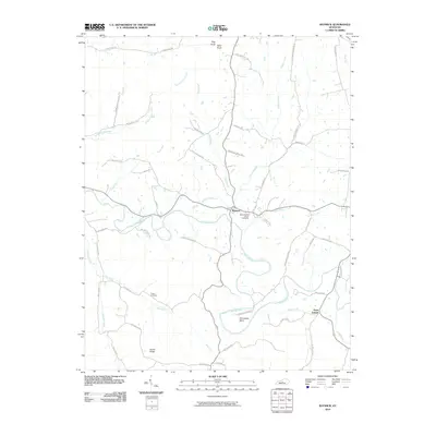 2010 Raywick2010 Print · USGSThe Rolling Fork river valley in Marion County remains a landscape of deep family heritage and rural settlement as seen in this early 21st-century record. Genealogists can trace local lineages through family-named routes and landmark sites like Saint Francis Xavier Cemetery, Sutton Cemetery, and the hamlet of Saint Joseph.
 - 2010 Map of Hodgenville, 2010 Print
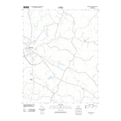 2010 Hodgenville2010 Print · USGSHodgenville and its surrounding Larue County countryside are captured here in the early 2000s, showing a landscape defined by the Nolin River forks. Researchers can trace family history through local landmarks like Red Hill Cemetery, Boundary Oak, and the small community of Jericho.
 - 2010 Map of Nelsonville, 2010 Print
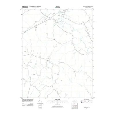 2010 Nelsonville2010 Print · USGSNorth of Hodgenville in the early twenty-first century, this landscape shows a network of family-settled ridges and creek bottoms. Genealogists can trace family roots through numerous burial sites like Potts Spring Cemetery, Bledsoe Cemetery, and the settlement of Roanoke.
 - 2010 Map of Upton, 2010 Print
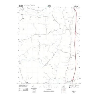 2010 Upton2010 Print · USGSCentral Kentucky's rural landscape is captured here in the early twenty-first century, showing the evolution of the corridor between Upton and Bonnieville. Genealogists and historians can trace family burial sites like Brashear Cemetery and find points of interest such as Riders Mill and Lone Star.
 - 2010 Map of Magnolia, 2010 Print
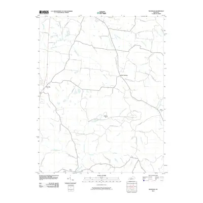 2010 Magnolia2010 Print · USGSMagnolia and Mount Sherman anchor this rural Kentucky landscape during the early twenty-first century. Researchers can trace family sites near Dezarn Cemetery or investigate the legacy of Aetna Furnace and the Magnolia Gas Storage Field.
 - 2010 Map of Saloma, 2010 Print
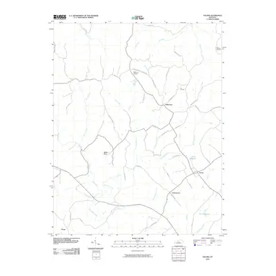 2010 Saloma2010 Print · USGSThe Taylor County countryside comes to life in this 2010 survey of Saloma and the surrounding farmsteads. Researchers can trace family history through the locations of Saint Matthews Cemetery, Mount Washington Cemetery, and the vanished-feeling quiet of White Rose.
 - 2010 Map of Hibernia, 2010 Print
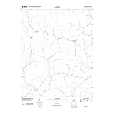 2010 Hibernia2010 Print · USGSTaylor County's rural communities come into focus in this late-period survey of the central Kentucky landscape. Genealogists and historians can trace family lineages through numerous local landmarks, including Dewitt Cemetery, Hibernia, and Skaggs Cemetery.
 - 2010 Map of Hammonville, 2010 Print
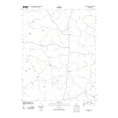 2010 Hammonville2010 Print · USGSLarue County communities are captured here in the early twenty-first century as they follow the ridges and creek beds of the Kentucky landscape. Genealogists can trace family roots at McCandless Cemetery or locate historic crossroads like Maxine and Hammonville.
 - 2010 Map of Elizabethtown, 2010 Print
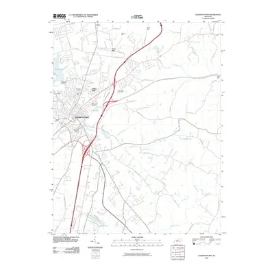 2010 Elizabethtown2010 Print · USGSElizabethtown at the start of the millennium serves as a major Kentucky crossroads where the parkways meet. Researchers can trace local history through family burial sites like Browns Cemetery and Holy Cemetery or explore established neighborhoods such as Indian Hills.
 - 2010 Map of New Haven, 2010 Print
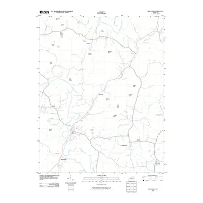 2010 New Haven2010 Print · USGSNew Haven and the knobs of Nelson County are captured in this recent survey during a period of enduring rural character. Genealogists and historians can trace local family landmarks through Vowles Cemetery, Buzzard Roost, and the winding Rolling Fork river.
 - 2010 Map of Tonieville, 2010 Print
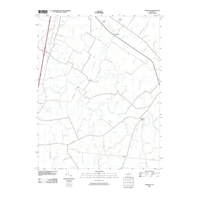 2010 Tonieville2010 Print · USGSThis central Kentucky landscape is captured in the early twenty-first century, showcasing a rural region shaped by the Nolin River. Researchers can trace old family lands along McDowell Rd or locate historic community sites like Mathers Mill and Williams Cemetery.
 - 2010 Map of Sonora, 2010 Print
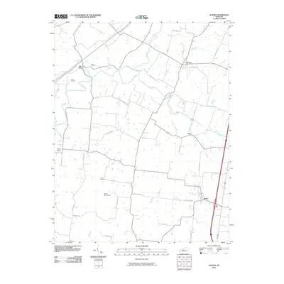 2010 Sonora2010 Print · USGSSouthern Hardin County was a landscape of quiet communities and winding waterways in the early 2000s. You can trace family roots through Old Saint Ignatius Cemetery, explore the terrain near Silver Mine Knob, or locate old spring sites like Boiling Spring.
 - 2010 Map of Howardstown, 2010 Print
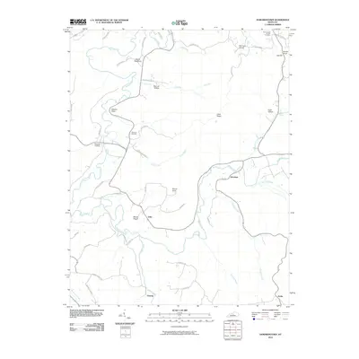 2010 Howardstown2010 Print · USGSLarue County at the dawn of the new millennium reveals a landscape of deep hollows and historic river settlements. Genealogists and local historians can trace family roots through Saint Ann Cemetery and Saint Vincent De Paul Cemetery, while exploring the rural layouts of Gleanings and Stiles.
 - 2013 Map of Howardstown, 2013 Print
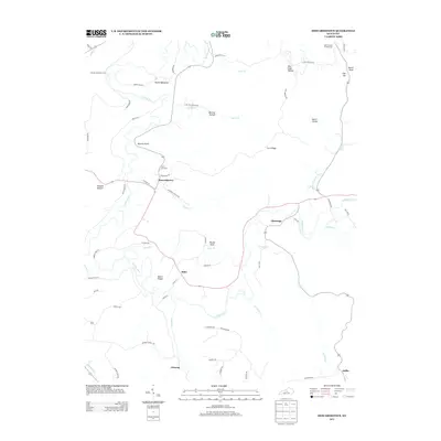 2013 Howardstown2013 Print · USGSThe rural Kentucky landscape near the Larue and Nelson county line is documented here in the early twenty-first century. Researchers can locate established family landmarks and burial sites such as Saint Ann Cem, Gleanings, and the historical McGee and Boone Ford crossing.
 - 2013 Map of Nelsonville, 2013 Print
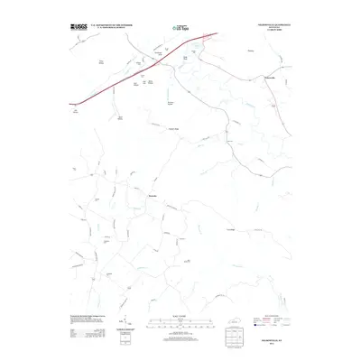 2013 Nelsonville2013 Print · USGSLarue County farmland and the winding Rolling Fork valley are captured here in the early twenty-first century. Genealogists can trace family heritage through numerous rural burial sites like Daugherty Cem, Johnson Cem, and the settlement at Roanoke.
 - 2013 Map of Hammonville, 2013 Print
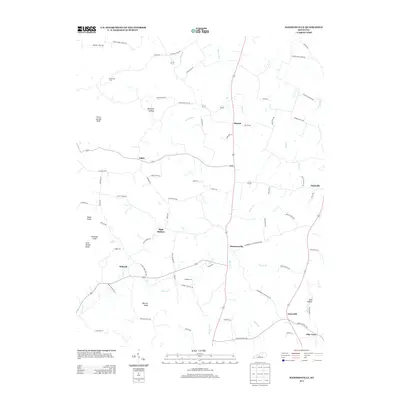 2013 Hammonville2013 Print · USGSHammonville and the surrounding knobs of Larue County are captured here in the early twenty-first century. Genealogists and local historians can locate several family-named landmarks and burial grounds, including McCanless Cem, Gaddie Cem, and Barefoot Hollow.
 - 2013 Map of Elizabethtown, 2013 Print
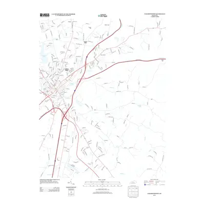 2013 Elizabethtown2013 Print · USGSElizabethtown and the Hardin County suburbs are shown in a period of significant modern growth during the early 2010s. Local researchers can trace residential expansion around Freeman Lake or locate several community landmarks like Saint James Cem and Oz Airport.
 - 2013 Map of Hibernia, 2013 Print
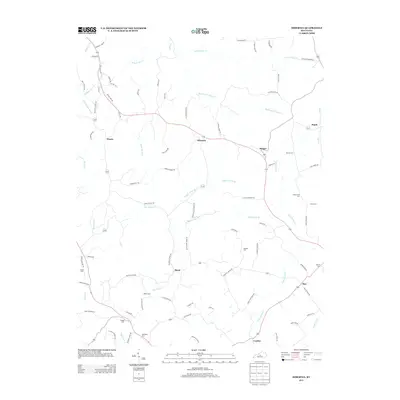 2013 Hibernia2013 Print · USGSHibernia and its neighboring crossroads communities are documented here in the early twenty-first century, showing a landscape of family farms and creek-side settlements. Genealogists can locate several family burial sites like Skaggs Cem and Webster Cem or trace the early paths of Old Ky 210.
 - 2013 Map of Saloma, 2013 Print
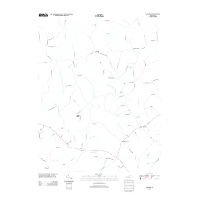 2013 Saloma2013 Print · USGSTaylor County rural life is captured here in the early twenty-first century as agricultural traditions meet modern water management. Genealogists and historians can trace family ties through Saint Matthews Cem and Kerr Cem or locate the old Mount Gilboa Lookout Tower.
 - 2013 Map of Hodgenville, 2013 Print
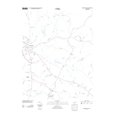 2013 Hodgenville2013 Print · USGSHodgenville and its surrounding farmsteads are captured in this Kentucky survey during a period of modern local development. Genealogists and historians can trace family land via Saint Jochin Cemetery Rd or locate rural landmarks like Boundary Oak and the Leafdale Lookout Tower.
 - 2013 Map of Tonieville, 2013 Print
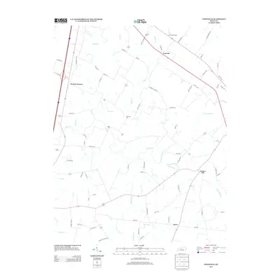 2013 Tonieville2013 Print · USGSLarue County in the early twenty-first century is defined by its deep-set creek valleys and long-standing mill sites. Researchers can trace the winding course of the Nolin River to find historic hubs like Eagle Mills and Mathers Mill.
 - 2013 Map of New Haven, 2013 Print
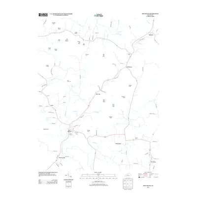 2013 New Haven2013 Print · USGSNelson County's knob country and river valleys are captured here in the early twenty-first century, showing the enduring rural layout of central Kentucky. Genealogists and local historians can trace family roots through sites like Beeler Vittitow Cem or explore the settlements of Athertonville and Gethsemane.
 - 2013 Map of Sonora, 2013 Print
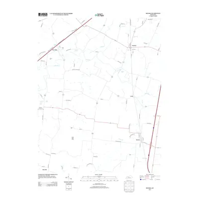 2013 Sonora2013 Print · USGSCentral Kentucky's agricultural heartland is documented here in the early twenty-first century, centered on the community of Sonora. Researchers can trace old family burial grounds like Stone Cem and named springs such as Gilead Spring and Star Mills Spring.
 - 2013 Map of Upton, 2013 Print
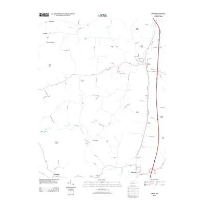 2013 Upton2013 Print · USGSThe heart of rural Kentucky is captured here just after the turn of the millennium, showing the region between Upton and Bonnieville. Researchers can locate numerous local burial sites like Leesville Cem and trace the paths of Bacon Cr and Sandy Cr.
 - 2013 Map of Magnolia, 2013 Print
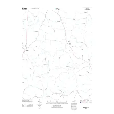 2013 Magnolia2013 Print · USGSLarue County in the early twenty-first century remains a landscape of winding creeks and quiet rural settlements. Researchers can trace family names and local landmarks through sites like Mt Tabor Church Cem, the settlement of Aetna Furnace, and the Magnolia Gas Storage Field.
Showing maps 1-25 of 52
Top cities of Larue County
Frequently asked questions
- What are the different types of historical maps available for Larue County?
- What is the oldest map of Larue County?
- Where can I purchase historical maps of Larue County for my home or office?
- Where can I download high-res historical maps of Larue County?
- Are there historical topographic maps available for Larue County?
- Is there historical aerial imagery available for Larue County?
- Where are historical maps of Larue County sourced from?