Old Maps of Whitesburg, Kentucky for Metal Detecting
Plan your next treasure hunt with 21 historic maps of Whitesburg. Find old homesites, ghost towns, trails, and gathering spots that may be lost to time — perfect for identifying promising metal detecting locations.
- Locate forgotten sites: Uncover places like long-lost settlements, abandoned rail lines, or gathering spots.
- Plan better hunts: Use map overlays combined with LiDAR or satellite views to narrow in on historically rich areas.
- Made for detectorists: Thousands of hobbyists use these maps to discover relics, coins, and hidden history.
Use these historic maps to boost your research and find new opportunities beneath the surface of Whitesburg.
Whitesburg, KY maps
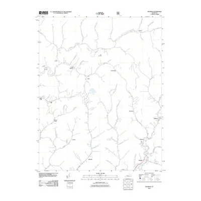
(21)- 1890 Map of Whitesburg
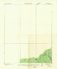
 1890 Whitesburg1890 Print · USGSThe Cumberland Plateau in the 1880s is a world of deep hollows and isolated mountain settlements. Genealogists can trace family roots in early communities like Whitesburgh and Pikeville or locate crossings at Pound Gap and Shelby Gap.
 - 1892 Map of Whitesburg
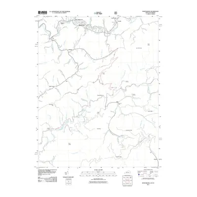
 1892 Whitesburg1892 Print · USGSEastern Kentucky and the Virginia borderlands appear here in the late nineteenth century as a landscape of isolated mountain hollows. Genealogists and historians can trace early family settlements along Kingdom Come Creek, Beef Hide, and the strategic passage at Pound Gap.4 unique versions available
 - 1913 Map of Oven Fork
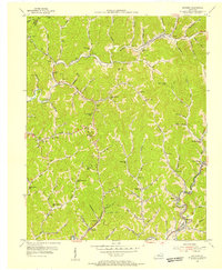
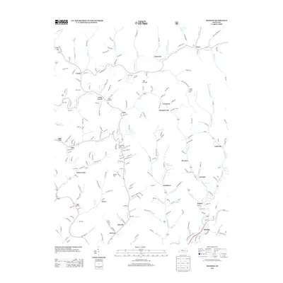
 1913 Oven Fork1913 Print · USGSLetcher County's steep ridges and narrow hollows are shown here in the early twentieth century, just as the Lexington and Eastern Ry arrived. Genealogists can trace family settlements from Whitesburg to Blackey, and locate early schools and landmarks like Campbranch Chapel or Pound Gap.
 - 1915 Map of Whitesburg
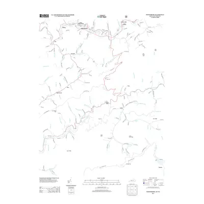
 1915 Whitesburg1915 Print · USGSLetcher County at the start of the twentieth century shows a landscape of deep hollows and growing rail towns. Genealogists can trace family roots through numerous numbered schoolhouses and settlements like Whitesburg, Blackey, and Indian Bottom.4 unique versions available
 - 1935 Map of Pardee
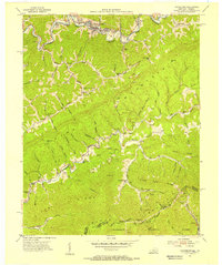
 1935 Pardee1935 Print · USGSThe coal country of the Kentucky-Virginia border is captured here during the mid-1930s, documenting the industrial footprint along the state line. Genealogists and historians can locate the Pardee Mines, the Pardee Ch, and landmarks like Whitesburg No 1.
 - 1954 Map of Mayking, 1956 Print
 1954 Mayking1956 Print · USGSThe mountain hollows of Letcher County are captured here in the mid-1950s, a period when coal company data helped map these steep-walled valleys. Genealogists can trace family names through landmarks like Camp Branch Chapel, Upper Colly Sch, and Sergent.3 unique versions available
 - 1954 Map of Whitesburg, 1956 Print
 1954 Whitesburg1956 Print · USGSLetcher County at the mid-century mark shows a landscape of deep valleys and mountain ridges shaped by the coal and rail industries. Genealogists can trace family landmarks and rural institutions like Big Cowan Ch, Boggs Cem, and the Parsons Sch near the Virginia line.4 unique versions available
 - 1957 Map of Jenkins, 1974 Print
 1957 Jenkins1974 Print · USGSThe Cumberland Plateau in the mid-twentieth century reveals a complex landscape of winding river valleys and deep-seated industry. Genealogists and historians can trace the development of Hazard, Jenkins, and Pikeville alongside extensive Numerous Oil and Gas Fields and the routes of the Chesapeake & Ohio Railway.
 - 1960 Map of Jenkins
 1960 Jenkins1960 Print · USGSEastern Kentucky and the West Virginia borderlands are captured at a mid-century peak of the coal and rail era. Trace the industrial corridors of the Chesapeake and Ohio RR through mountain hubs like Hazard and Jenkins.
 - 1977 Map of Pikeville, 1983 Print
 1977 Pikeville1983 Print · USGSThe Central Appalachian coalfields and the rugged borders of Kentucky and Virginia come into focus during the late seventies. Researchers can trace the rail networks of the C & O and L & N through towns like Jenkins, Whitesburg, and Pikeville.
 - 1992 Map of Mayking
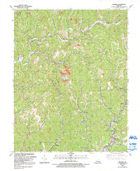 1992 Mayking1992 Print · USGSLetcher County's coal-mining heartland is shown in the early nineties, centered on the North Fork Kentucky River and the CSX Transportation line. Genealogists and historians can trace family-named gaps and hollows alongside rural landmarks like Sandlick Ch and Millstone.
 - 2010 Map of Mayking, 2010 Print
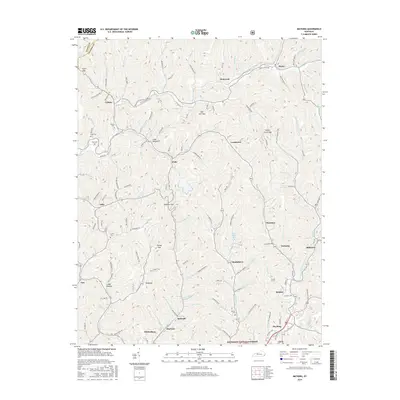
 2010 Mayking2010 Print · USGSCovers Whitesburg, including Tillie, Lucastown, and other nearby areas
 - 2011 Map of Whitesburg, 2011 Print
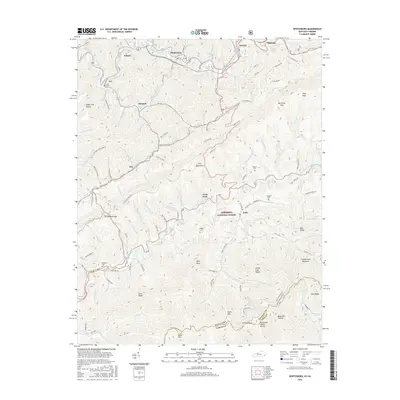
 2011 Whitesburg2011 Print · USGSCovers Whitesburg, including Dongola, Oven Fork, and other nearby areas
 - 2013 Map of Mayking, 2013 Print
 2013 Mayking2013 Print · USGSCovers Whitesburg, including Tillie, Lucastown, and other nearby areas
 - 2013 Map of Whitesburg, 2013 Print
 2013 Whitesburg2013 Print · USGSCovers Whitesburg, including Dongola, Oven Fork, and other nearby areas
 - 2016 Map of Mayking, 2016 Print
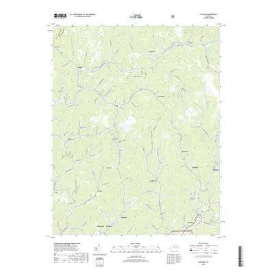
 2016 Mayking2016 Print · USGSCovers Whitesburg, including Tillie, Lucastown, and other nearby areas
 - 2016 Map of Whitesburg, 2016 Print
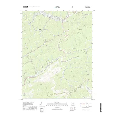
 2016 Whitesburg2016 Print · USGSCovers Whitesburg, including Dongola, Oven Fork, and other nearby areas
 - 2019 Map of Mayking, 2019 Print
 2019 Mayking2019 Print · USGSCovers Whitesburg, including Tillie, Lucastown, and other nearby areas
 - 2019 Map of Whitesburg, 2019 Print
 2019 Whitesburg2019 Print · USGSCovers Whitesburg, including Dongola, Oven Fork, and other nearby areas
 - 2022 Map of Whitesburg, 2022 Print
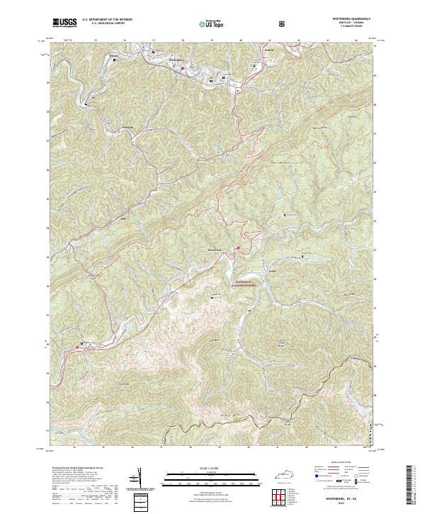 2022 Whitesburg2022 Print · USGSThe Cumberland plateau meets the Virginia border in the early 2020s, showing a landscape defined by mountain ridges and river headwaters. Genealogists can locate several local burial sites like Evergreen Cem and Boggs Cem near settlements such as Oven Fork and Whitesburg.
 - 2022 Map of Mayking, 2022 Print
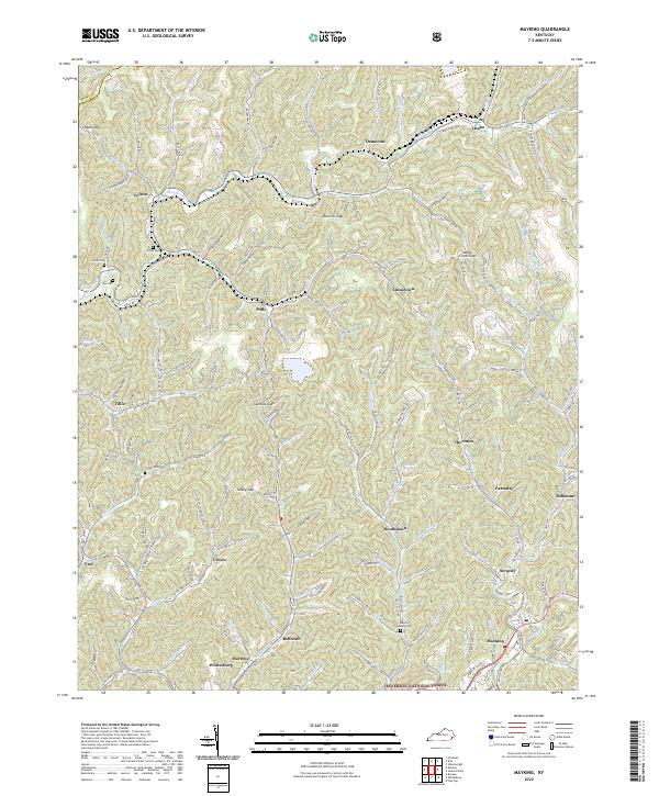 2022 Mayking2022 Print · USGSDeep in the Kentucky mountains, this modern survey shows the intricate settlement patterns of the 2020s. Genealogists can trace family sites like Melvin Adams Cem or find the community of Pistol City near the Sandlick Gap.
End of results
Showing maps 1-21 of 21
Top cities near Whitesburg
- Norton historical maps
- Wise historical maps
- Cumberland historical maps
- Jenkins historical maps
- Appalachia historical maps
- Pound historical maps
See more
Frequently asked questions
- What are the different types of historical maps available for Whitesburg?
- What is the oldest map of Whitesburg?
- Where can I purchase historical maps of Whitesburg for my home or office?
- Where can I download high-res historical maps of Whitesburg?
- Are there historical topographic maps available for Whitesburg?
- Is there historical aerial imagery available for Whitesburg?
- Where are historical maps of Whitesburg sourced from?