Old Maps of Garrison, Kentucky for Genealogy
Trace your family roots with 13 historic maps of Garrison. These high-res maps reveal old neighborhoods, homesites, landmarks, and streets — helping you uncover where your ancestors lived and how the area evolved over time.
- Explore historic neighborhoods: Identify where your relatives may have lived in the 1800s or 1900s.
- Compare maps over time: Trace the changes in streets, buildings, and landmarks for multi-generational research.
- Perfect for genealogy & ancestry research: Used by family historians and researchers to map out lineage and migration.
These maps are an incredible resource for exploring your personal connection to Garrison's past.
Garrison, KY maps
(13)- 1915 Map of Garrison, 1952 Print
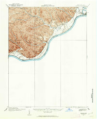 1915 Garrison1952 Print · USGSThe riverfront and uplands of the Ohio Valley come alive in this mid-century publication of a Great War-era survey. Genealogists and local historians can trace the many rural schoolhouses like Elmtree School and Leatherwood School or find the early footprint of Portsmouth.
 - 1918 Map of Garrison, 1932 Print
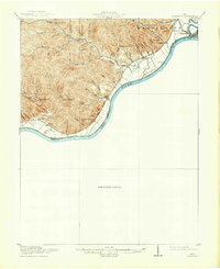 1918 Garrison1932 Print · USGSThe river valley at the Ohio and Kentucky border was a landscape of small schools and isolated runs during the mid-1910s. Researchers can trace the placement of local institutions like the Scioto County Infirmary and rural schools including Pond Run School and Carey Run School.
 - 1949 Map of Garrison, 1961 Print
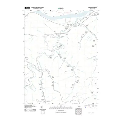
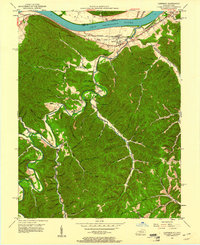 1949 Garrison1961 Print · USGSThe Ohio River valley and the interior hollows of Lewis County are captured here just after the war. Genealogists can trace family landmarks like the Waring Cem, Red Brush Sch, and several rural churches along Kinniconick Creek.5 unique versions available
 - 1951 Map of Garrison
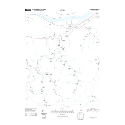
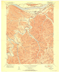 1951 Garrison1951 Print · USGSThe riverfront and rugged hollows of Lewis County are captured here just after the war, when the railroad still dominated the shoreline. Genealogists can locate family-named sites like Skidmore Cemetery and Tannery School along the winding Kinniconick Creek.
 - 1957 Map of Huntington, 1966 Print
 1957 Huntington1966 Print · USGSThe industrial heart of the Ohio River valley is captured here in the mid-sixties, showing the growth of Huntington and Ashland. Researchers can trace the extensive rail networks of the Chesapeake and Ohio RR and locate sites like the Chief Cornstalk Hunting Ground.3 unique versions available
 - 1960 Map of Huntington
 1960 Huntington1960 Print · USGSThe tri-state river valley thrived in the late fifties as a hub of heavy industry and Appalachian rail transit. Genealogists and historians can trace the connection between river towns like Ashland and Portsmouth or locate family homesteads near Coleman Ridge.
 - 1986 Map of Maysville
 1986 Maysville1986 Print · USGSThe Ohio River valley in the mid-eighties reveals a landscape of industrial river towns and sprawling public lands spanning the Kentucky and Ohio border. Researchers can trace the rail corridors of the Chesapeake and Ohio Railway or locate landmarks like Confidence Cemetery and the Fleming-Mason Airport.
 - 1991 Map of Maysville
 1991 Maysville1991 Print · USGSThe Ohio River valley at the turn of the nineties reveals a landscape of river-bend towns and dense forest preserves. Trace local history through landmark sites like Confidence Cemetery, the small-town streets of Ripley, and the river reaches of Manchester Island No 1.
 - 2010 Map of Garrison, 2010 Print
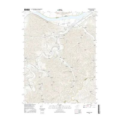
 2010 Garrison2010 Print · USGSCovers Garrison, including Tannery, Quincy, and other nearby areas
 - 2013 Map of Garrison, 2013 Print
 2013 Garrison2013 Print · USGSCovers Garrison, including Tannery, Quincy, and other nearby areas
 - 2016 Map of Garrison, 2016 Print
 2016 Garrison2016 Print · USGSCovers Garrison, including Tannery, Quincy, and other nearby areas
 - 2019 Map of Garrison, 2019 Print
 2019 Garrison2019 Print · USGSCovers Garrison, including Tannery, Quincy, and other nearby areas
 - 2022 Map of Garrison, 2022 Print
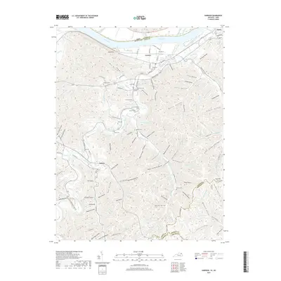
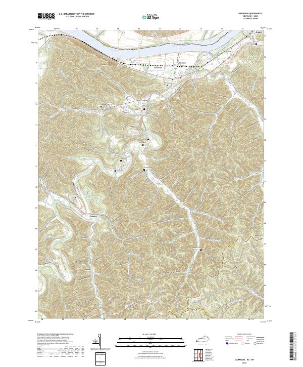 2022 Garrison2022 Print · USGSThe riverfront and interior valleys of Lewis County are captured here in the early 2020s, showing the enduring rural layout from Garrison to Quincy. Researchers can trace family history through numerous hillside burial sites like the Bruce Family Graveyard and Christy Cem.
End of results
Showing maps 1-13 of 13
Top cities near Garrison
Frequently asked questions
- What are the different types of historical maps available for Garrison?
- What is the oldest map of Garrison?
- Where can I purchase historical maps of Garrison for my home or office?
- Where can I download high-res historical maps of Garrison?
- Are there historical topographic maps available for Garrison?
- Is there historical aerial imagery available for Garrison?
- Where are historical maps of Garrison sourced from?