Old Maps of Homer, Kentucky for Hiking & Exploration
Hike through history with 9 historic maps of Homer. Explore old trails, ghost towns, and forgotten backroads — perfect for outdoor adventurers and local explorers.
- Rediscover forgotten places: Map out old mining camps, roads, and footpaths that no longer exist on modern maps.
- Layer with modern tools: Combine with LiDAR or satellite views to plan hikes through historical terrain.
- Made for exploration: Popular among hikers, overlanders, and local history lovers.
Use these maps to find adventure and explore the hidden past of Homer.
Homer, KY maps
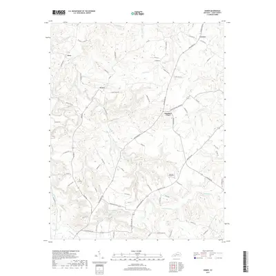
(9)- 1951 Map of Homer, 1953 Print
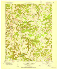 1951 Homer1953 Print · USGSLogan County’s rural landscape is captured here in the early fifties, documenting a world of river-bottom farms and upland crossroads. Local researchers can pinpoint family landmarks like Chandlers Chapel, the small settlement of Homer, and Briggs Lake.2 unique versions available
 - 1956 Map of Nashville, 1971 Print
 1956 Nashville1971 Print · USGSThe Tennessee-Kentucky borderlands come into focus in the mid-1960s as major reservoir projects transformed the Cumberland and Tennessee river valleys. Researchers can trace the rail networks of the Louisville and Nashville and visit sites like Fort Campbell and Fort Donelson National Military Park.2 unique versions available
 - 1959 Map of Nashville
 1959 Nashville1959 Print · USGSMiddle Tennessee and Southern Kentucky come into focus during the late fifties, showing the region's transition into a modern transportation and military hub. Researchers can trace the sprawling Fort Campbell Military Reservation or locate historic rail stops along the Tennessee Central Ry and Illinois Central RR.
 - 1985 Map of Bowling Green
 1985 Bowling Green1985 Print · USGSThe rolling borderlands of Kentucky and Tennessee are captured here in the mid-eighties, showing a landscape shaped by the Barren River and deep-rooted rail networks. Genealogists and researchers can trace local landmarks like Prices Mill, Highland Academy, and Green Lawn Cem.3 unique versions available
 - 2010 Map of Homer, 2010 Print
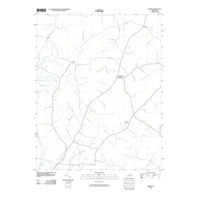 2010 Homer2010 Print · USGSCovers Homer, including Costelow, Chandlers Chapel, and other nearby areas
 - 2013 Map of Homer, 2013 Print
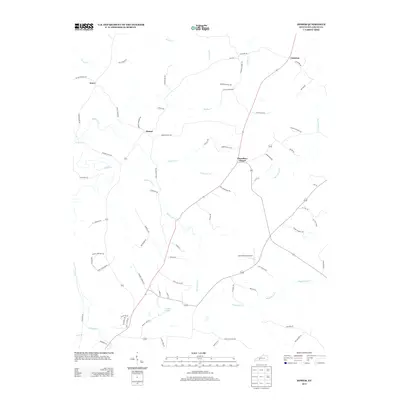 2013 Homer2013 Print · USGSCovers Homer, including Costelow, Chandlers Chapel, and other nearby areas
 - 2016 Map of Homer, 2016 Print
 2016 Homer2016 Print · USGSCovers Homer, including Costelow, Chandlers Chapel, and other nearby areas
 - 2019 Map of Homer, 2019 Print
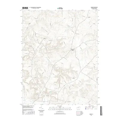
 2019 Homer2019 Print · USGSCovers Homer, including Costelow, Chandlers Chapel, and other nearby areas
 - 2022 Map of Homer, 2022 Print
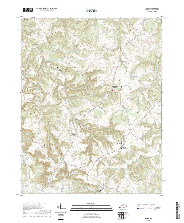 2022 Homer2022 Print · USGSLogan County, Kentucky, maintains its traditional rural character in the early twenty-first century, centered on communities like Chandlers Chapel. Researchers can locate numerous family burial sites such as the Samuel Price Cem and Marshall Cem among the bends of the Mud River.
End of results
Showing maps 1-9 of 9
Top cities near Homer
Frequently asked questions
- What are the different types of historical maps available for Homer?
- What is the oldest map of Homer?
- Where can I purchase historical maps of Homer for my home or office?
- Where can I download high-res historical maps of Homer?
- Are there historical topographic maps available for Homer?
- Is there historical aerial imagery available for Homer?
- Where are historical maps of Homer sourced from?