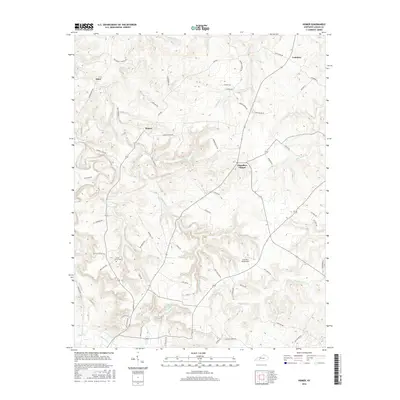
2016 Map of Homer
USGS Topo · Published 2016About this map
Chandlers Chapel and the small settlement of Homer anchor this 2016 study of the Logan County landscape, where the terrain is defined by a dense network of winding creeks and family-named roads. The southern portion of the quadrangle is marked by Briggs Lake and the Mud River, while the Lone Pine Aerodrome provides a distinct modern landmark among the traditional farmsteads. Genealogists and local historians can trace legacy land patterns through features like Cedar Grove Cem and various roads named for local families, including Warner Chick Rd and J Will Stewart Rd. The drainage systems of Motts Lick Creek and Wiggington Cr carve through the hills, illustrating the geographic isolation that helped preserve the rural character of communities like Costelow and Insco into the early 21st century.
Find a feature on this map
66 named features on this map. Tap any name to fly to it.
Don’t see what you’re looking for? This feature index may not catch every label — zoom into the map to look around manually.
Map Details
Editions of this 2016 Homer Map
This is the sole edition of this map. No revisions or reprints were ever made.
Other maps of this area
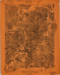
1911 · Dunmor
USGS Topo · 1:48,000
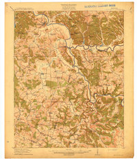
1914 · Little Muddy
USGS Topo · 1:62,500
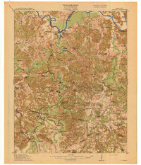
1914 · Dunmor
USGS Topo · 1:62,500
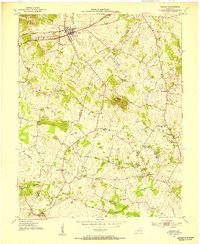
1951 · Auburn
USGS Topo · 1:24,000
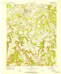
1951 · Lewisburg
USGS Topo · 1:24,000
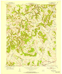
1951 · South Union
USGS Topo · 1:24,000
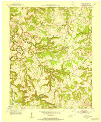
1951 · Homer
USGS Topo · 1:24,000
1952 · Russellville
USGS Topo · 1:24,000
1952 · Dennis
USGS Topo · 1:24,000
1953 · Dunmor
USGS Topo · 1:24,000