Old Maps of Lickskillet, Kentucky for Genealogy
Trace your family roots with 9 historic maps of Lickskillet. These high-res maps reveal old neighborhoods, homesites, landmarks, and streets — helping you uncover where your ancestors lived and how the area evolved over time.
- Explore historic neighborhoods: Identify where your relatives may have lived in the 1800s or 1900s.
- Compare maps over time: Trace the changes in streets, buildings, and landmarks for multi-generational research.
- Perfect for genealogy & ancestry research: Used by family historians and researchers to map out lineage and migration.
These maps are an incredible resource for exploring your personal connection to Lickskillet's past.
Lickskillet, KY maps
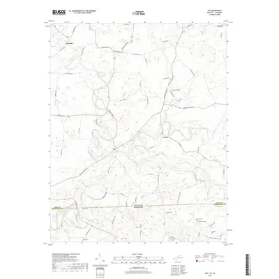
(9)- 1951 Map of Dot, 1952 Print
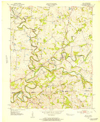 1951 Dot1952 Print · USGSThe Kentucky and Tennessee borderlands come alive in this early 1950s survey of the Red River valley. Researchers can trace the winding course of Whippoorwill Creek and locate community anchors like Lickskillet, Millertown Ch, and Cedar Grove Sch.3 unique versions available
 - 1956 Map of Nashville, 1971 Print
 1956 Nashville1971 Print · USGSThe Tennessee-Kentucky borderlands come into focus in the mid-1960s as major reservoir projects transformed the Cumberland and Tennessee river valleys. Researchers can trace the rail networks of the Louisville and Nashville and visit sites like Fort Campbell and Fort Donelson National Military Park.2 unique versions available
 - 1959 Map of Nashville
 1959 Nashville1959 Print · USGSMiddle Tennessee and Southern Kentucky come into focus during the late fifties, showing the region's transition into a modern transportation and military hub. Researchers can trace the sprawling Fort Campbell Military Reservation or locate historic rail stops along the Tennessee Central Ry and Illinois Central RR.
 - 1985 Map of Bowling Green
 1985 Bowling Green1985 Print · USGSThe rolling borderlands of Kentucky and Tennessee are captured here in the mid-eighties, showing a landscape shaped by the Barren River and deep-rooted rail networks. Genealogists and researchers can trace local landmarks like Prices Mill, Highland Academy, and Green Lawn Cem.3 unique versions available
 - 2010 Map of Dot, 2010 Print
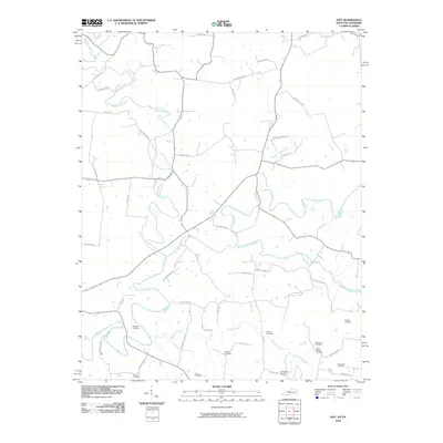 2010 Dot2010 Print · USGSCovers Lickskillet, including Oakville, Dot, and other nearby areas
 - 2013 Map of Dot, 2013 Print
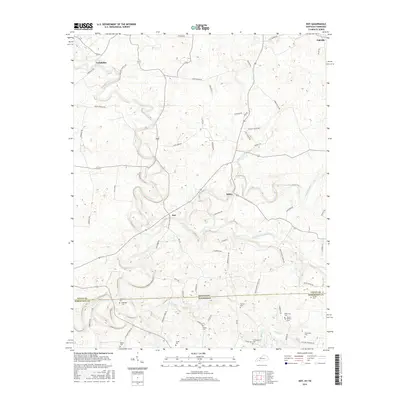
 2013 Dot2013 Print · USGSCovers Lickskillet, including Oakville, Dot, and other nearby areas
 - 2016 Map of Dot, 2016 Print
 2016 Dot2016 Print · USGSCovers Lickskillet, including Oakville, Dot, and other nearby areas
 - 2019 Map of Dot, 2019 Print
 2019 Dot2019 Print · USGSCovers Lickskillet, including Oakville, Dot, and other nearby areas
 - 2022 Map of Dot, 2022 Print
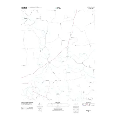
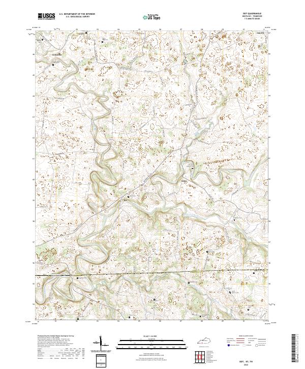 2022 Dot2022 Print · USGSThe Kentucky and Tennessee borderlands come alive in this study of Logan and Robertson counties during the early twenty-first century. Researchers can trace family lineages through numerous burial sites including the James Riley Graveyard and Robertson Cem near the small communities of Dot and Schley.
End of results
Showing maps 1-9 of 9
Top cities near Lickskillet
- Clarksville historical maps
- Springfield historical maps
- Russellville historical maps
- Elkton historical maps
- Guthrie historical maps
- Adairville historical maps
See more
Frequently asked questions
- What are the different types of historical maps available for Lickskillet?
- What is the oldest map of Lickskillet?
- Where can I purchase historical maps of Lickskillet for my home or office?
- Where can I download high-res historical maps of Lickskillet?
- Are there historical topographic maps available for Lickskillet?
- Is there historical aerial imagery available for Lickskillet?
- Where are historical maps of Lickskillet sourced from?