
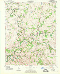
1951 Map of Dot
USGS Topo · Published 1952About this map
Whippoorwill Creek carves a highly sinuous path through the landscape of the Kentucky Tennessee border, defining the rural character of this 1951 survey. The map reveals a dense network of country churches and small schools that served the dispersed agricultural community, including Cedar Grove Sch and Bethany Ch. The settlement of Dot sits near the center of the sheet, where the Red River meets its southern tributaries. The topographic detail highlights the complex drainage patterns of the South Fork Red River and Spring Creek, illustrating how local topography influenced the placement of early homesteads and landmarks like Lickskillet and Oakville. Genealogists will find particular value in the numerous family-oriented church sites such as Smith Grove Ch and Mt Lebanon Ch scattered across the Logan and Robertson County lines.
Find a feature on this map
28 named features on this map. Tap any name to fly to it.
Don’t see what you’re looking for? This feature index may not catch every label — zoom into the map to look around manually.
Map Details
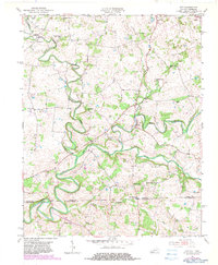
Editions of this 1951 Dot Map
3 editions found
Other maps of this area

1950 · Allensville
USGS Topo · 1:24,000

1950 · Olmstead
USGS Topo · 1:24,000

1951 · Olmstead
USGS Topo · 1:24,000

1951 · Adairville
USGS Topo · 1:24,000

1952 · Russellville
USGS Topo · 1:24,000

1952 · Springfield North
USGS Topo · 1:24,000

1952 · Youngville
USGS Topo · 1:24,000

1952 · Dennis
USGS Topo · 1:24,000

1956 · Nashville
USGS Topo · 1:250,000

1957 · Adams
USGS Topo · 1:24,000