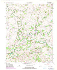
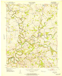
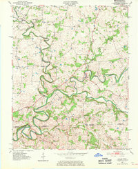
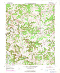
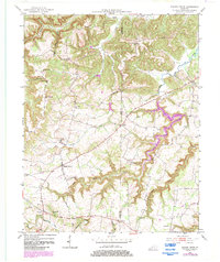
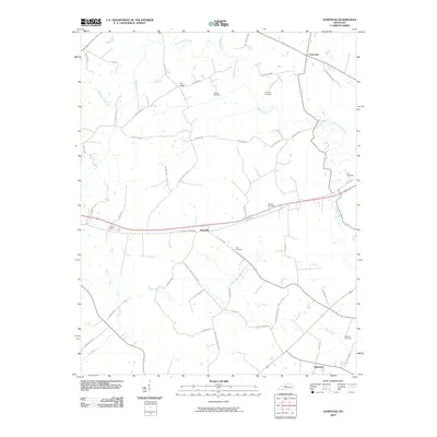
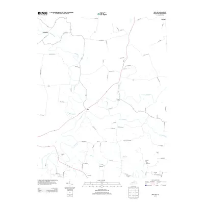
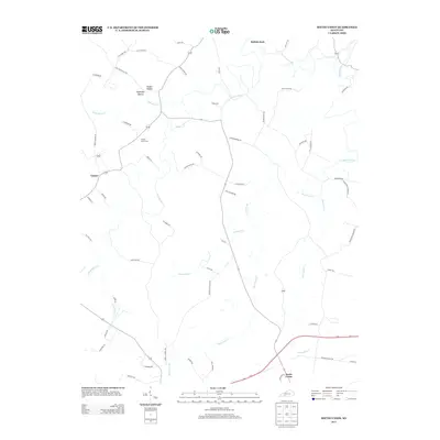
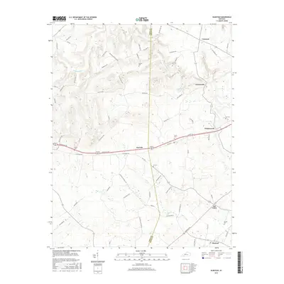
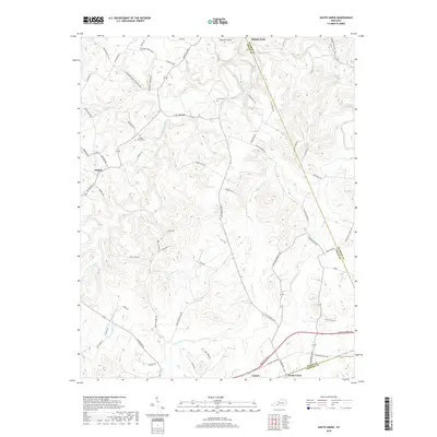
1951 Map of Dot
USGS Topo · Published 1983About this map
Whippoorwill Creek carves a winding path through the borderlands of Logan County, Kentucky, and Robertson County, Tennessee, where it meets the South Fork Red River. This mid-century survey documents a rural landscape defined by tight-knit communities centered around local institutions. Small settlements such as Lickskillet, Dot, and Schley are distributed throughout the agricultural terrain, each anchored by traditional landmarks like Bethany Ch and Cedar Grove Sch.
Find a feature on this map
27 named features on this map. Tap any name to fly to it.
Don’t see what you’re looking for? This feature index may not catch every label — zoom into the map to look around manually.
Map Details
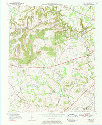
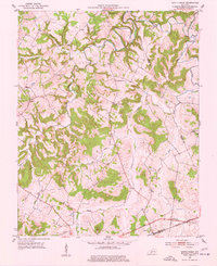
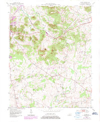
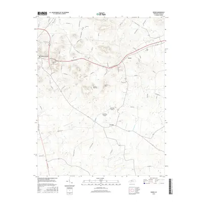
Editions of this 1951 Dot Map
3 editions found
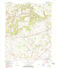
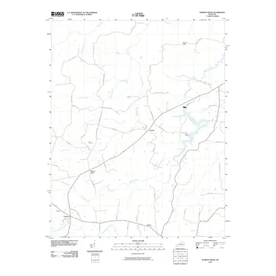
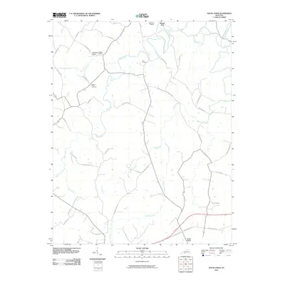
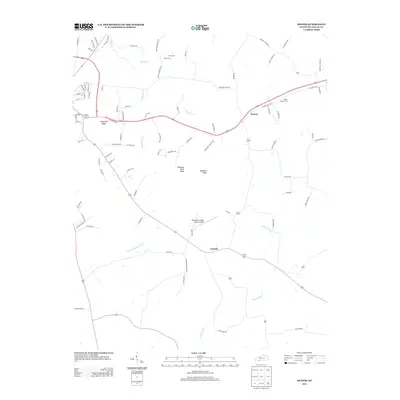
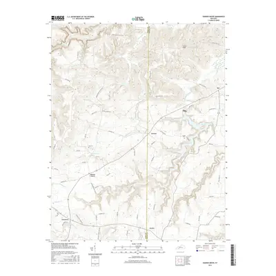
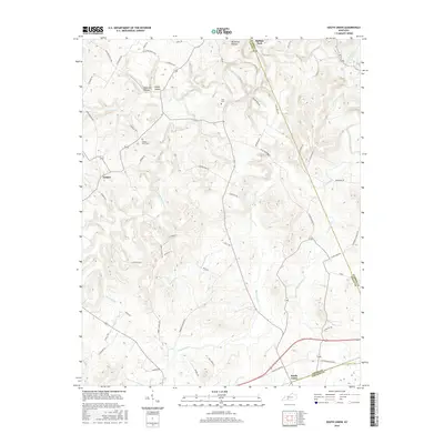
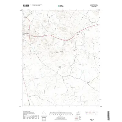
Historical Maps of Oakville Through Time
37 maps found
1950 Olmstead
Logan County, KY
1951 Dot
Logan County, KY
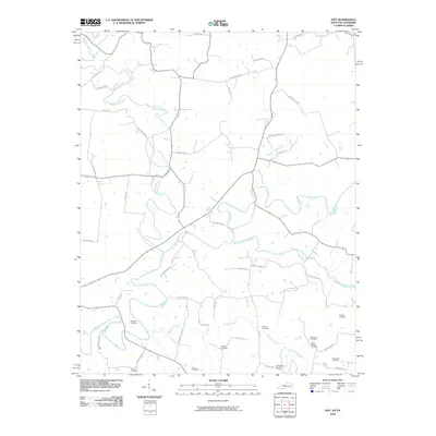
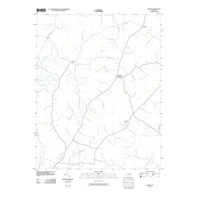
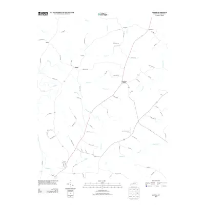
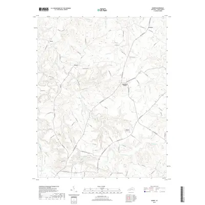
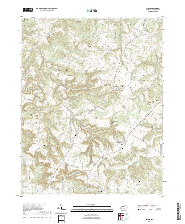
1951 Homer
Logan County, KY
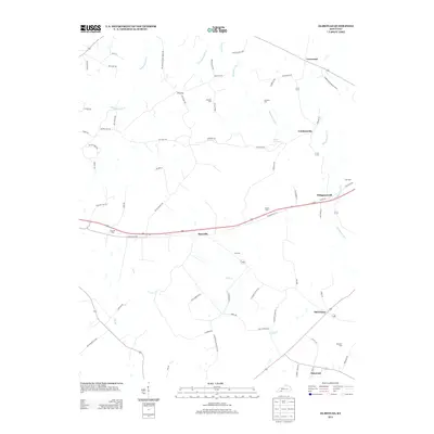
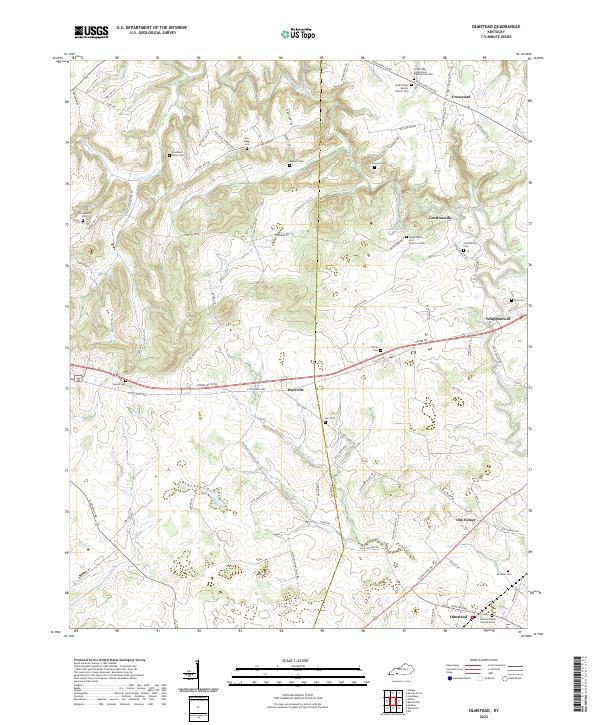
1951 Olmstead
Logan County, KY
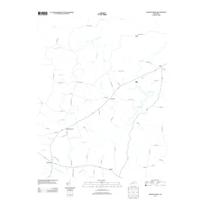
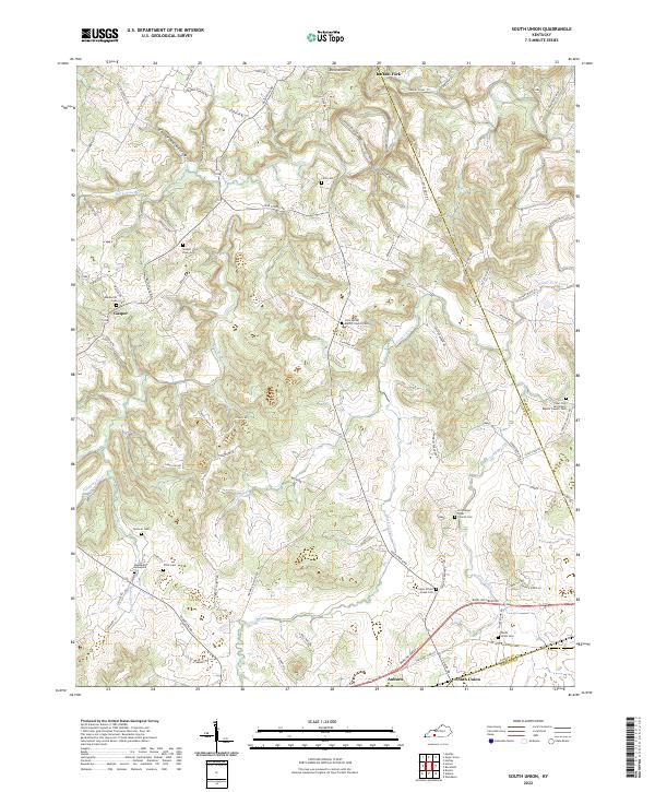
1951 South Union
Logan County, KY
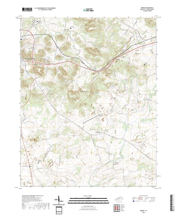
1952 Dennis
Logan County, KY
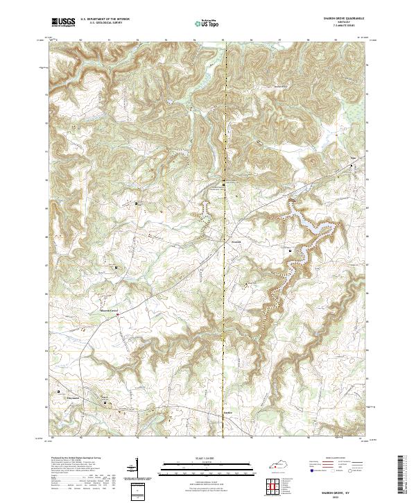
1952 Sharon Grove
Logan County, KY
2010 Dennis
Logan County, KY
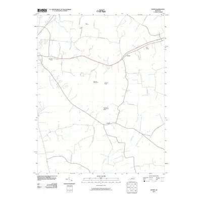
2010 Dot
Logan County, KY
2010 Homer
Logan County, KY
2010 Olmstead
Logan County, KY
2010 Sharon Grove
Logan County, KY
2010 South Union
Logan County, KY
2013 Dennis
Logan County, KY
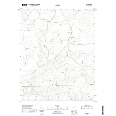
2013 Dot
Logan County, KY
2013 Homer
Logan County, KY
2013 Olmstead
Logan County, KY
2013 Sharon Grove
Logan County, KY
2013 South Union
Logan County, KY
2016 Dennis
Logan County, KY
2016 Dot
Logan County, KY
2016 Homer
Logan County, KY
2016 Olmstead
Logan County, KY
2016 Sharon Grove
Logan County, KY
2016 South Union
Logan County, KY
2019 Dennis
Logan County, KY
2019 Dot
Logan County, KY
2019 Homer
Logan County, KY
2019 Olmstead
Logan County, KY
2019 Sharon Grove
Logan County, KY
2019 South Union
Logan County, KY
2022 Dennis
Logan County, KY
2022 Dot
Logan County, KY
2022 Homer
Logan County, KY
2022 Olmstead
Logan County, KY
2022 Sharon Grove
Logan County, KY
2022 South Union
Logan County, KY