2000s (21st Century) Maps of Magoffin County, Kentucky
Explore 70 historic maps of Magoffin County from the 2000s (21st Century). These maps offer a rare glimpse into what life looked like during the 2000s — showing old roads, neighborhoods, homes, and landmarks that have changed or disappeared over time.
Whether you're researching your family's past, planning a metal detecting trip, or studying how Magoffin County's landscape evolved across the 2000s, these high-resolution maps are a powerful tool for exploring the history of this region.
- Focus on a specific era: All maps on this page are from the 2000s, giving you a focused view of this time period.
- See what’s changed: Compare century-old streets, trails, and buildings to today's modern landscape using overlays and satellite layers.
- Research with precision: Use these maps for genealogy, historical research, land use analysis, or educational projects.
- View, download, or print: Maps are fully viewable online in high resolution, and can be downloaded or printed for your own records.
Start exploring Magoffin County's history through authentic maps from the 2000s. This is your window into the past.
Magoffin County, KY maps
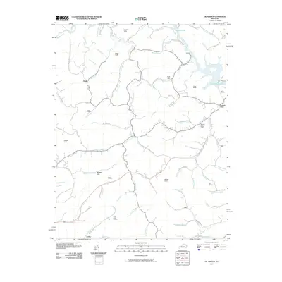
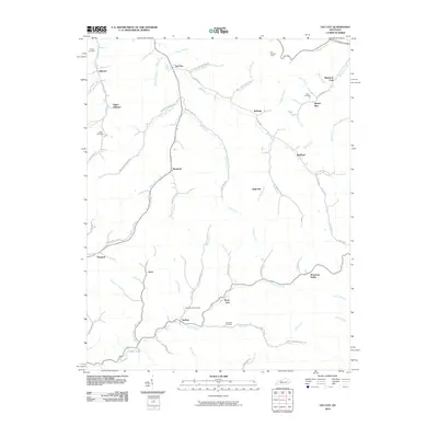
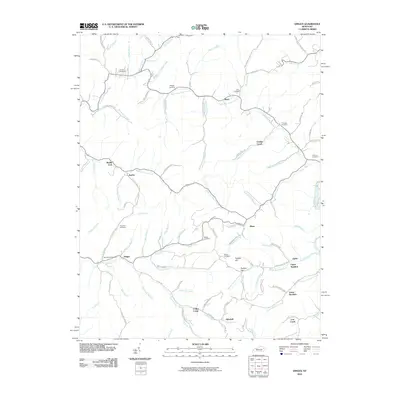
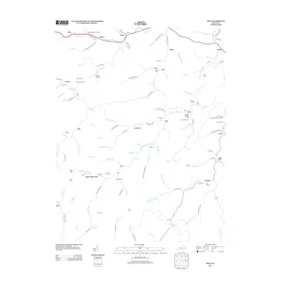
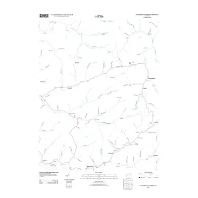
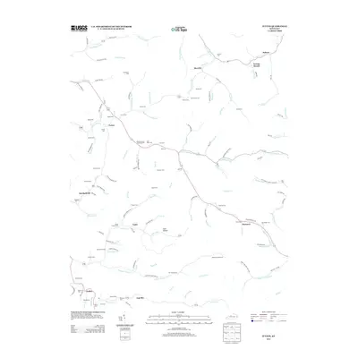
(70)- 2010 Map of Tiptop, 2010 Print
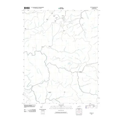 2010 Tiptop2010 Print · USGSCovers Magoffin County, including Duco, Tiptop, and other nearby areas
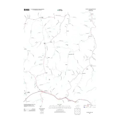
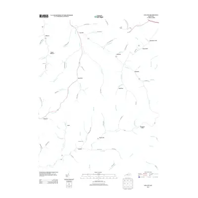
 - 2010 Map of Cannel City, 2010 Print
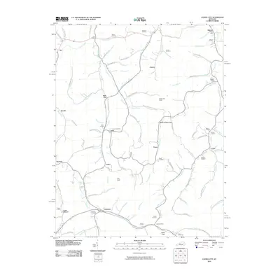 2010 Cannel City2010 Print · USGSCovers Magoffin County, including Lower Gillmore, Rexville, and other nearby areas
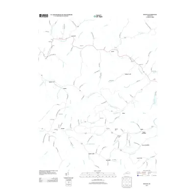
 - 2010 Map of David, 2010 Print
 2010 David2010 Print · USGSCovers Magoffin County, including Arthurmabel, Waldo, and other nearby areas
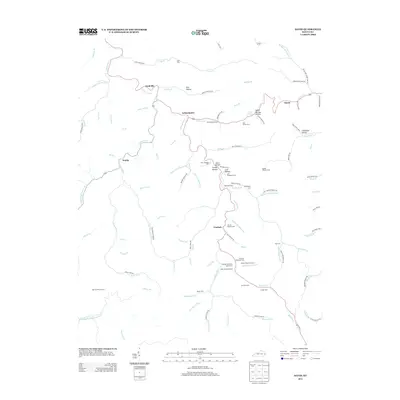
 - 2010 Map of Handshoe, 2010 Print
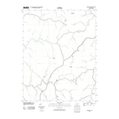 2010 Handshoe2010 Print · USGSCovers Magoffin County, including Larkslane, Mousie, and other nearby areas
 - 2010 Map of Salyersville North, 2010 Print
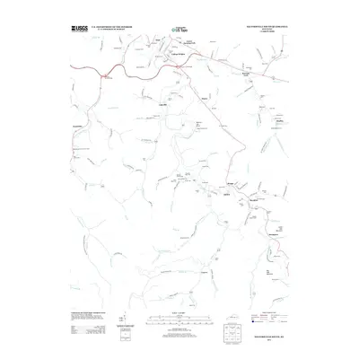
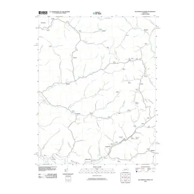 2010 Salyersville North2010 Print · USGSCovers Magoffin County, including Salyersville, Lickburg, and other nearby areas
 - 2010 Map of Lenox, 2010 Print
 2010 Lenox2010 Print · USGSCovers Magoffin County, including West Liberty, Florress, and other nearby areas
 - 2010 Map of Ivyton, 2010 Print
 2010 Ivyton2010 Print · USGSCovers Magoffin County, including Brainard, Marshallville, and other nearby areas
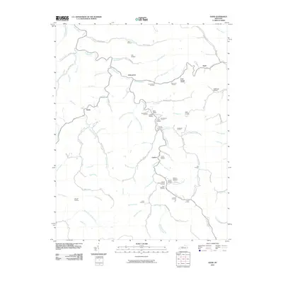
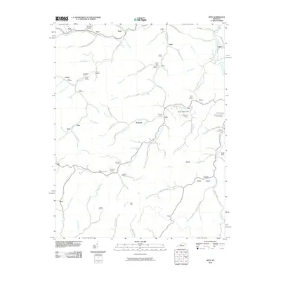
 - 2010 Map of Guage, 2010 Print
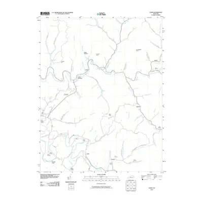
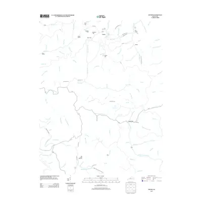
 2010 Guage2010 Print · USGSCovers Magoffin County, including Lambric, Lunah, and other nearby areas
 - 2010 Map of Oil Springs, 2010 Print
 2010 Oil Springs2010 Print · USGSCovers Magoffin County, including Barnetts Creek, Hargis, and other nearby areas
 - 2010 Map of White Oak, 2010 Print
 2010 White Oak2010 Print · USGSCovers Magoffin County, including Kernie, Elsie, and other nearby areas
 - 2010 Map of Lee City, 2010 Print
 2010 Lee City2010 Print · USGSCovers Magoffin County, including Belknap, Wheel Rim, and other nearby areas
 - 2010 Map of Seitz, 2010 Print
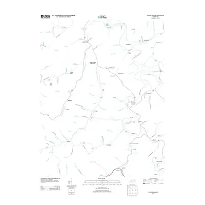
 2010 Seitz2010 Print · USGSCovers Magoffin County, including Bays, Cutuno, and other nearby areas
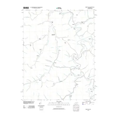
 - 2010 Map of Dingus, 2010 Print
 2010 Dingus2010 Print · USGSCovers Magoffin County, including Dingus, Ophir, and other nearby areas
 - 2010 Map of Salyersville South, 2010 Print
 2010 Salyersville South2010 Print · USGSCovers Magoffin County, including Salyersville, Swampton, and other nearby areas
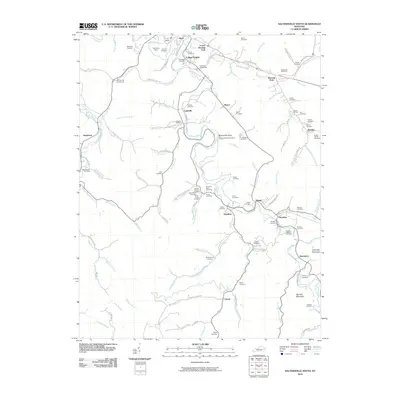
 - 2013 Map of Guage, 2013 Print
 2013 Guage2013 Print · USGSCovers Magoffin County, including Lambric, Lunah, and other nearby areas
 - 2013 Map of Cannel City, 2013 Print
 2013 Cannel City2013 Print · USGSCovers Magoffin County, including Lower Gillmore, Rexville, and other nearby areas
 - 2013 Map of Seitz, 2013 Print
 2013 Seitz2013 Print · USGSCovers Magoffin County, including Bays, Cutuno, and other nearby areas
 - 2013 Map of Salyersville South, 2013 Print
 2013 Salyersville South2013 Print · USGSCovers Magoffin County, including Salyersville, Swampton, and other nearby areas
 - 2013 Map of White Oak, 2013 Print
 2013 White Oak2013 Print · USGSCovers Magoffin County, including Kernie, Elsie, and other nearby areas
 - 2013 Map of Tiptop, 2013 Print
 2013 Tiptop2013 Print · USGSCovers Magoffin County, including Duco, Tiptop, and other nearby areas
 - 2013 Map of Salyersville North, 2013 Print
 2013 Salyersville North2013 Print · USGSCovers Magoffin County, including Salyersville, Lickburg, and other nearby areas
 - 2013 Map of Lee City, 2013 Print
 2013 Lee City2013 Print · USGSCovers Magoffin County, including Belknap, Wheel Rim, and other nearby areas
 - 2013 Map of Dingus, 2013 Print
 2013 Dingus2013 Print · USGSCovers Magoffin County, including Dingus, Ophir, and other nearby areas
 - 2013 Map of David, 2013 Print
 2013 David2013 Print · USGSCovers Magoffin County, including Arthurmabel, Waldo, and other nearby areas
 - 2013 Map of Ivyton, 2013 Print
 2013 Ivyton2013 Print · USGSCovers Magoffin County, including Brainard, Marshallville, and other nearby areas
Showing maps 1-25 of 70
Top cities of Magoffin County
Frequently asked questions
- What are the different types of historical maps available for Magoffin County?
- What is the oldest map of Magoffin County?
- Where can I purchase historical maps of Magoffin County for my home or office?
- Where can I download high-res historical maps of Magoffin County?
- Are there historical topographic maps available for Magoffin County?
- Is there historical aerial imagery available for Magoffin County?
- Where are historical maps of Magoffin County sourced from?