2020s Maps of Magoffin County, Kentucky
Explore 14 historic maps of Magoffin County from the 2020s. These maps offer a rare glimpse into what life looked like during the 2020s — showing old roads, neighborhoods, homes, and landmarks that have changed or disappeared over time.
Whether you're researching your family's past, planning a metal detecting trip, or studying how Magoffin County's landscape evolved across the 2020s, these high-resolution maps are a powerful tool for exploring the history of this region.
- Focus on a specific era: All maps on this page are from the 2020s, giving you a focused view of this time period.
- See what’s changed: Compare century-old streets, trails, and buildings to today's modern landscape using overlays and satellite layers.
- Research with precision: Use these maps for genealogy, historical research, land use analysis, or educational projects.
- View, download, or print: Maps are fully viewable online in high resolution, and can be downloaded or printed for your own records.
Start exploring Magoffin County's history through authentic maps from the 2020s. This is your window into the past.
Magoffin County, KY maps
(14)- 2022 Map of David, 2022 Print
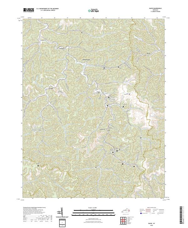 2022 David2022 Print · USGSMagoffin County in the early 2020s remains a landscape of deep hollows and family-centric settlements. Genealogists can trace decades of local history through dozens of family burial sites like John B Shepard Cem, Wireman Cem, and Bailey Cem.
 - 2022 Map of Handshoe, 2022 Print
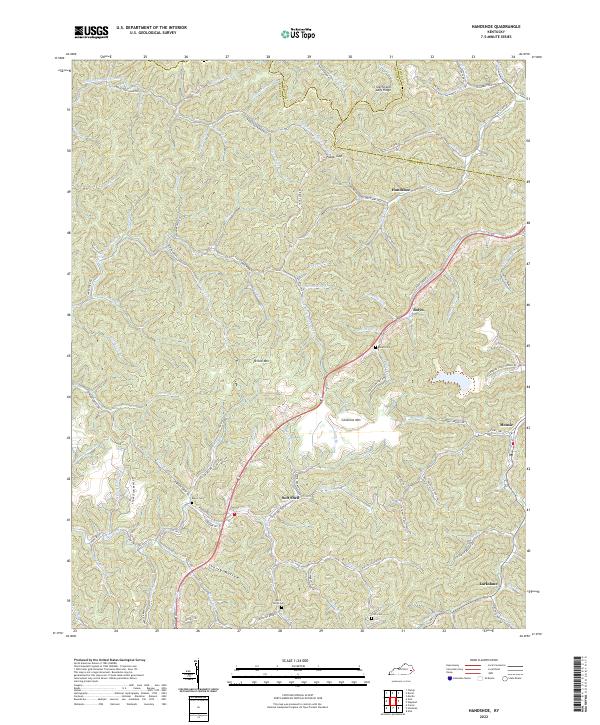 2022 Handshoe2022 Print · USGSKnott County's narrow hollows and high ridges are shown in detail as they appeared in 2022. Researchers can trace family history through locations like Soft Shell, Handshoe, and several small mountain burial sites such as Bolen Cem and Click Cem.
 - 2022 Map of Ivyton, 2022 Print
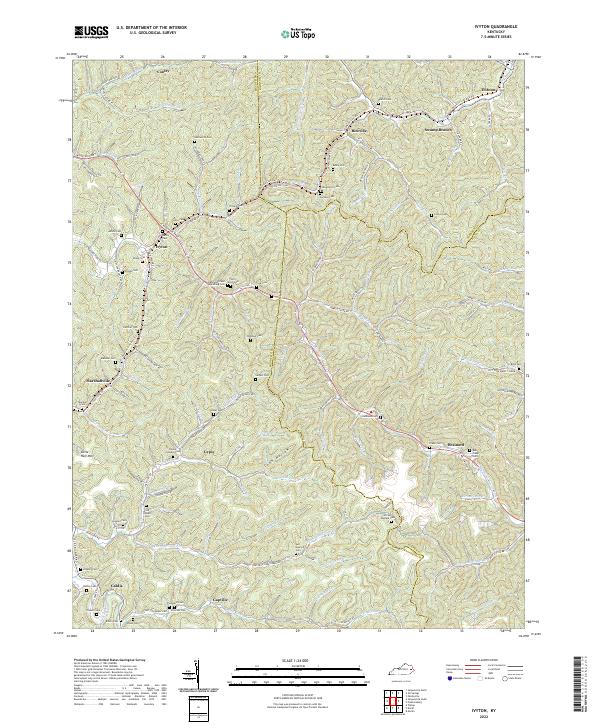 2022 Ivyton2022 Print · USGSThe headwaters of the Licking River and Middle Creek appear here in the early 2020s, showing a landscape defined by deep hollows and family homesteads. Researchers can locate dozens of remote burial sites like Hackworth Cem and trace the Dawkins Line Rail Trl.
 - 2022 Map of Oil Springs, 2022 Print
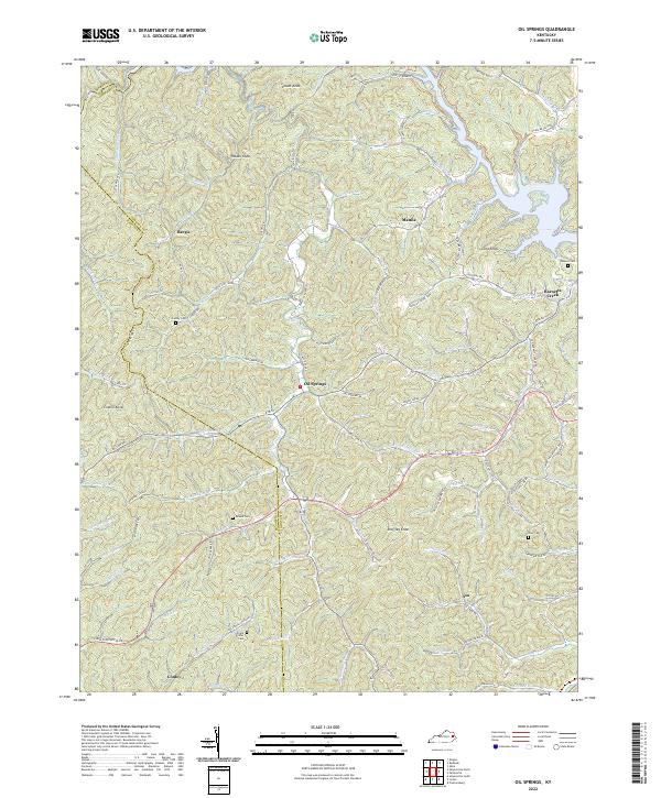 2022 Oil Springs2022 Print · USGSThe hill country of Johnson County in the early 2020s shows a landscape of small settlements and family history tucked along winding creek forks. Genealogists can trace ancestral land near the Frank D Prater Cem, Adams Cem, or the community of Oil Springs.
 - 2022 Map of Tiptop, 2022 Print
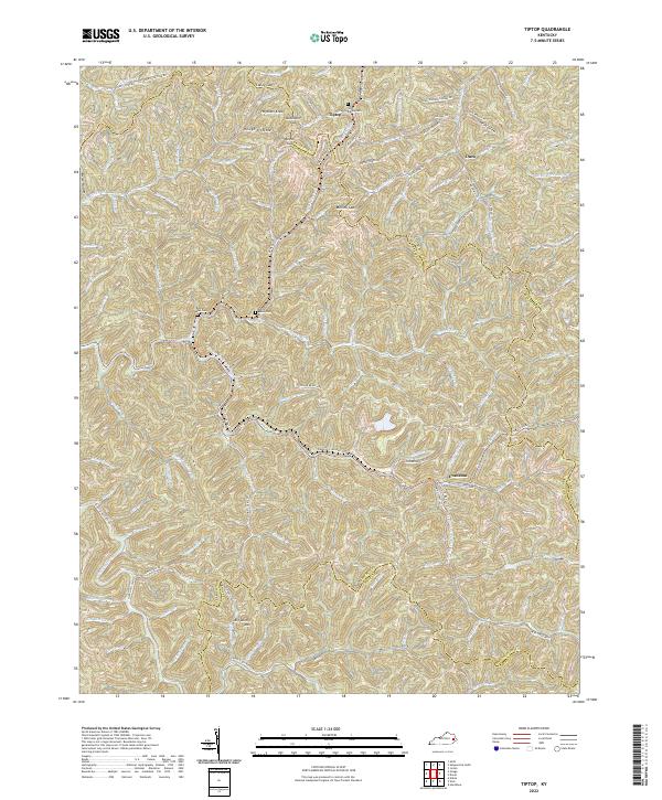 2022 Tiptop2022 Print · USGSThe headwaters of the Kentucky and Licking rivers meet at the borders of Breathitt and Magoffin counties in the early 2020s. Genealogists can locate family sites like the Benton Mann Cem and John Bailey Cem near the mountain community of Evanston.
 - 2022 Map of Dingus, 2022 Print
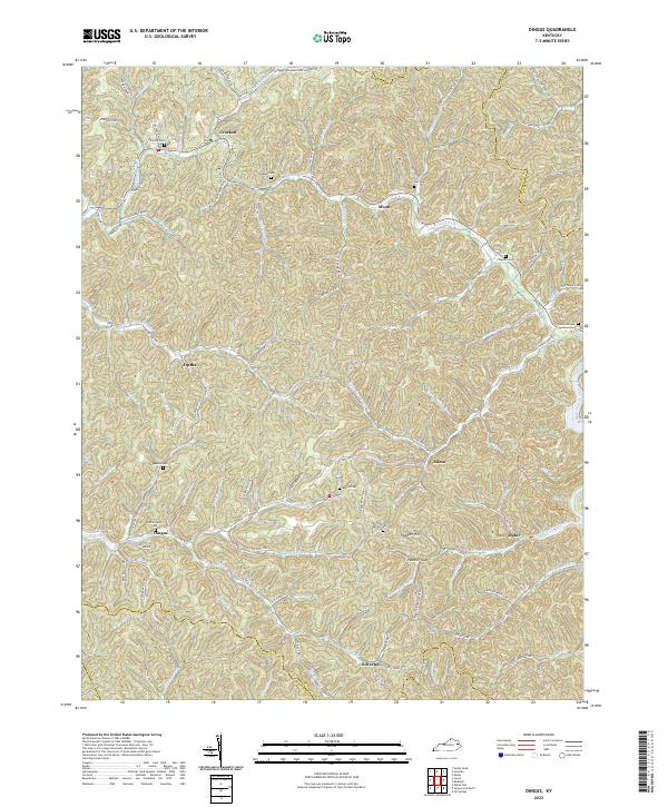 2022 Dingus2022 Print · USGSThe rural communities of Morgan County are documented here in the early twenty-first century, showing the persistent settlement patterns of the eastern Kentucky hills. Researchers can locate family landmarks such as Skaggs Cem, Dingus, and the crossing at Peddler Gap.
 - 2022 Map of Guage, 2022 Print
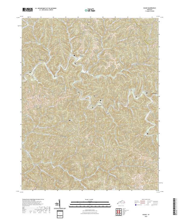 2022 Guage2022 Print · USGSBreathitt County's mountain settlements and winding creek valleys are captured here in the early twenty-first century. Researchers can locate family landmarks such as McQuinn Cem and Shack Allen Cem or trace the routes of Rousseau and Lunah.
 - 2022 Map of Lee City, 2022 Print
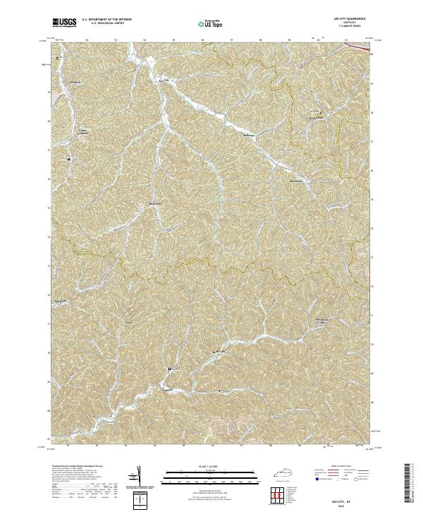 2022 Lee City2022 Print · USGSIn the hills of Eastern Kentucky, this 2022 survey captures the enduring settlement patterns of the Cumberland Plateau. Genealogists can trace family connections through landmarks like Gibbs Cem, Taulbee, and Wheel Rim across four intersecting counties.
 - 2022 Map of Lenox, 2022 Print
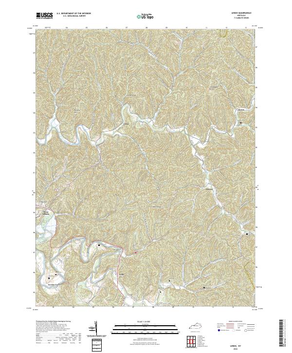 2022 Lenox2022 Print · USGSMorgan County and the edge of Elliott County are shown here as they appear in the early 2020s, centered on the Lenox community. Genealogists can trace family landmarks like Adkins Cem or Pelfrey Cem and follow the winding Licking River past Cottle Bend.
 - 2022 Map of Cannel City, 2022 Print
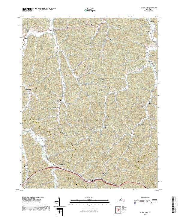 2022 Cannel City2022 Print · USGSEastern Kentucky's coal and timber country comes into focus in this recent survey of Morgan and Wolfe Counties. Researchers can locate family homesteads near Cannel City and Helechawa or trace ancestors at Morris Cem and Stinson Cem.
 - 2022 Map of Seitz, 2022 Print
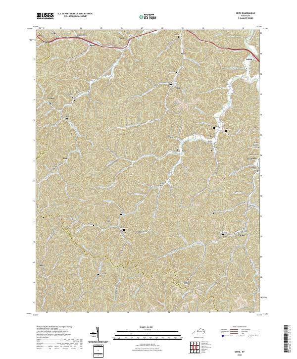 2022 Seitz2022 Print · USGSMagoffin County is shown in detail during the early 2020s, highlighting a landscape defined by deep hollows and ancestral family settlements. Genealogists can trace family locations through numerous sites like William Big Bill Patriotic Cem and Fleming Arnett Cem.
 - 2022 Map of Salyersville North, 2022 Print
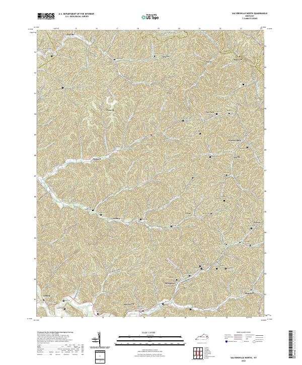 2022 Salyersville North2022 Print · USGSMagoffin County near the headwaters of the Licking River is documented here in its contemporary landscape. Researchers can trace dozens of family cemeteries like Christopher Gullet Cem and Tackett Memorial Cem or locate community centers in Salyersville and Lickburg.
 - 2022 Map of Salyersville South, 2022 Print
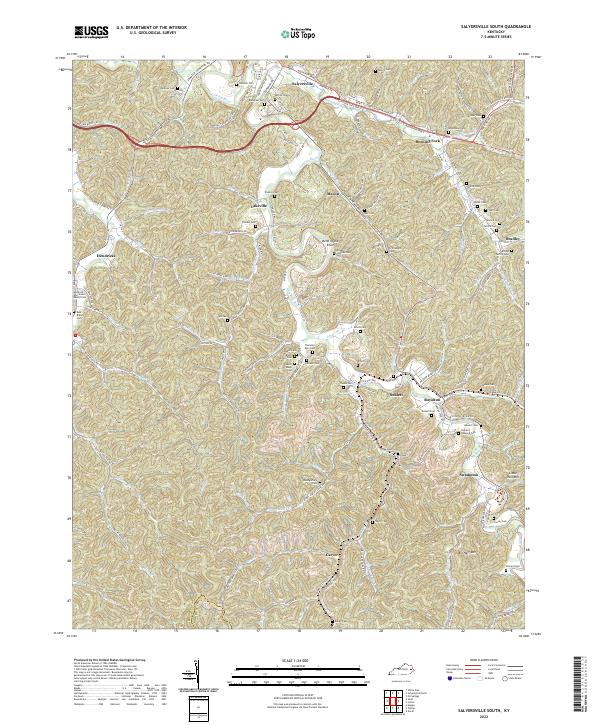 2022 Salyersville South2022 Print · USGSMagoffin County in the early 2020s remains a landscape of deep-rooted family settlements tucked into the hollows of the Licking River. Researchers can trace ancestral sites across a network of rural roads and cemeteries like Gardner Cem or explore the path of the Dawkins Line Rail Trl near Royalton.
 - 2022 Map of White Oak, 2022 Print
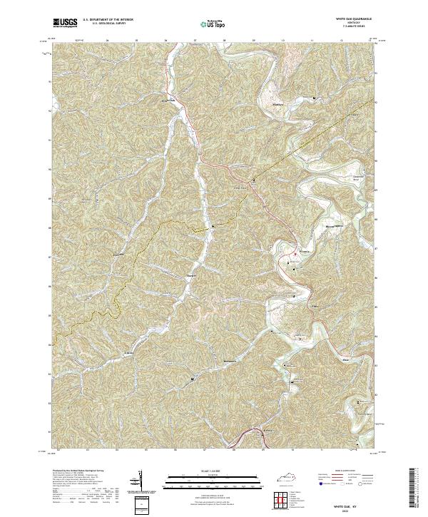 2022 White Oak2022 Print · USGSMagoffin and Morgan counties are shown here as they appear in 2022, centering on the winding Licking River. Researchers can trace generations through family landmarks like Andrew Jackson Patton Cem, Patrick and Lovely Cem, and the settlement at White Oak.
End of results
Showing maps 1-14 of 14
Top cities of Magoffin County
Frequently asked questions
- What are the different types of historical maps available for Magoffin County?
- What is the oldest map of Magoffin County?
- Where can I purchase historical maps of Magoffin County for my home or office?
- Where can I download high-res historical maps of Magoffin County?
- Are there historical topographic maps available for Magoffin County?
- Is there historical aerial imagery available for Magoffin County?
- Where are historical maps of Magoffin County sourced from?