2010s Maps of Marion County, Kentucky
Explore 52 historic maps of Marion County from the 2010s. These maps offer a rare glimpse into what life looked like during the 2010s — showing old roads, neighborhoods, homes, and landmarks that have changed or disappeared over time.
Whether you're researching your family's past, planning a metal detecting trip, or studying how Marion County's landscape evolved across the 2010s, these high-resolution maps are a powerful tool for exploring the history of this region.
- Focus on a specific era: All maps on this page are from the 2010s, giving you a focused view of this time period.
- See what’s changed: Compare century-old streets, trails, and buildings to today's modern landscape using overlays and satellite layers.
- Research with precision: Use these maps for genealogy, historical research, land use analysis, or educational projects.
- View, download, or print: Maps are fully viewable online in high resolution, and can be downloaded or printed for your own records.
Start exploring Marion County's history through authentic maps from the 2010s. This is your window into the past.
Marion County, KY maps
(52)- 2010 Map of Raywick, 2010 Print
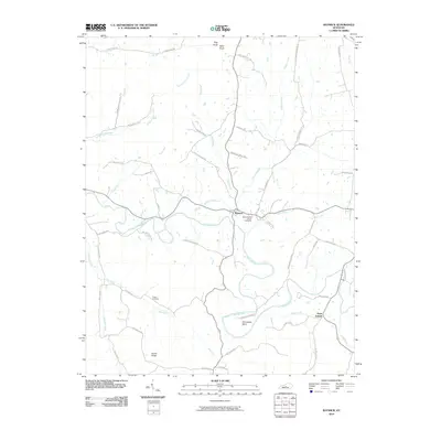 2010 Raywick2010 Print · USGSThe Rolling Fork river valley in Marion County remains a landscape of deep family heritage and rural settlement as seen in this early 21st-century record. Genealogists can trace local lineages through family-named routes and landmark sites like Saint Francis Xavier Cemetery, Sutton Cemetery, and the hamlet of Saint Joseph.
 - 2010 Map of Mackville, 2010 Print
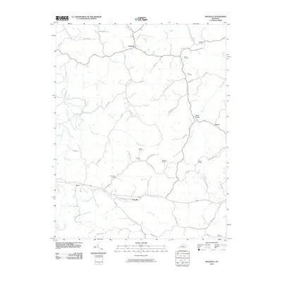 2010 Mackville2010 Print · USGSIn the heart of Kentucky during the early 2000s, this area showcases a rural landscape defined by historic family settlements and winding creek beds. Researchers can locate numerous family burial grounds like McMullin Cemetery and Holderman Cemetery near the community of Mackville.
 - 2010 Map of Loretto, 2010 Print
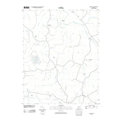 2010 Loretto2010 Print · USGSMarion County's rural character is well-preserved in this early 21st-century record of Loretto and its surrounding knobs. Researchers can trace historic family connections through landmarks like Wimpsett Schoolhouse Rd and settlements at Nerinx and Dant.
 - 2010 Map of Spurlington, 2010 Print
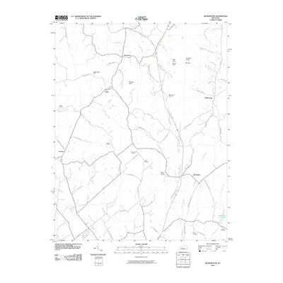 2010 Spurlington2010 Print · USGSCentral Kentucky ridge lands and rural settlements come into focus in this recent survey. Local historians can trace family ties at Saint Francis Cemetery or locate old home sites near Jessietown and Spurlington.
 - 2010 Map of Bradfordsville, 2010 Print
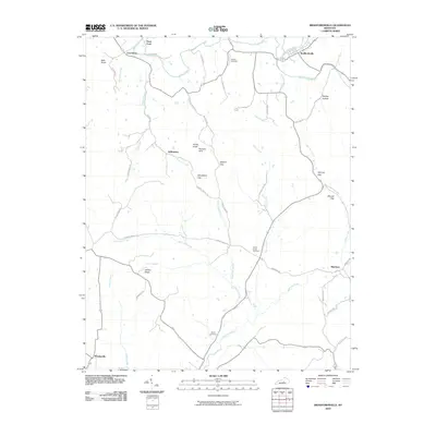 2010 Bradfordsville2010 Print · USGSMarion County life and its river-and-road network are detailed in this survey from the early twenty-first century. Genealogists and local historians can trace family locations near Liberty Cemetery, Peck Ford, and the small community of Merrimac.
 - 2010 Map of Bradfordsville NE, 2010 Print
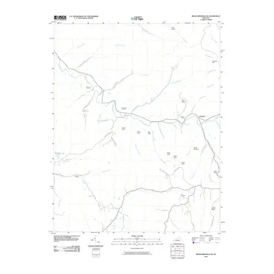 2010 Bradfordsville NE2010 Print · USGSJacktown and the surrounding Kentucky knobs are captured here in 2010, showing a landscape defined by the winding Big South Fork. Researchers can trace local heritage through numerous family burial sites like Weatherford Cemetery and Malone Cemetery, or locate landmarks such as Stacy Falls.
 - 2010 Map of Saloma, 2010 Print
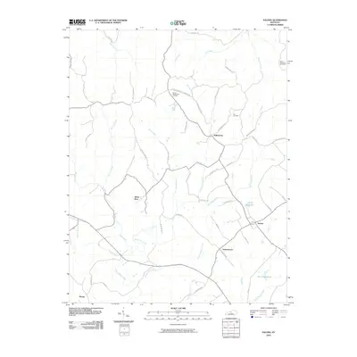 2010 Saloma2010 Print · USGSThe Taylor County countryside comes to life in this 2010 survey of Saloma and the surrounding farmsteads. Researchers can trace family history through the locations of Saint Matthews Cemetery, Mount Washington Cemetery, and the vanished-feeling quiet of White Rose.
 - 2010 Map of Lebanon West, 2010 Print
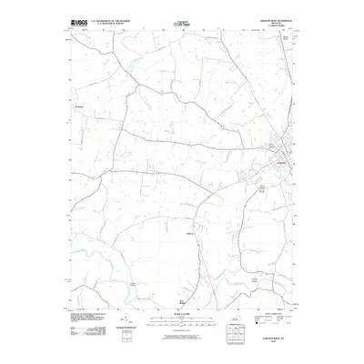 2010 Lebanon West2010 Print · USGSMarion County at the start of the decade shows the western growth of the county seat and the enduring rural character of its surroundings. Researchers can trace family history through the Lebanon National Cemetery and explore old routes like Whitlock Pike or the community at Belltown.
 - 2010 Map of Gravel Switch, 2010 Print
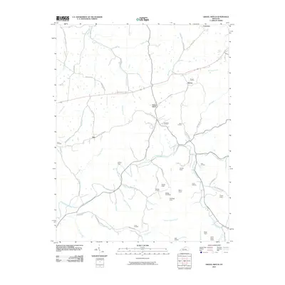 2010 Gravel Switch2010 Print · USGSMarion County, Kentucky, remains a landscape of rolling knobs and creek-side settlements in the early twenty-first century. Genealogists can trace family roots through the Aliceton Cemetery and Elder Cemetery, or locate rural hamlets like Riley and Gravel Switch.
 - 2010 Map of Saint Catharine, 2010 Print
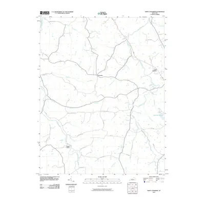 2010 Saint Catharine2010 Print · USGSKentucky's bourbon country and rural landscapes are captured here during the first decade of the new millennium. Researchers can trace historic routes and landmarks like Old Elizabethtown Rd, the Springfield Reservoir, and the famed Maker's Mark Rd.
 - 2010 Map of Springfield, 2010 Print
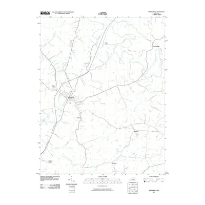 2010 Springfield2010 Print · USGSSpringfield and its surrounding Washington County hamlets are captured here in the early twenty-first century. Researchers can trace family roots through several local burial sites like Saint Dominics Cemetery or explore the small rural hubs of Jimtown and Rineltown.
 - 2010 Map of Howardstown, 2010 Print
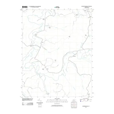 2010 Howardstown2010 Print · USGSLarue County at the dawn of the new millennium reveals a landscape of deep hollows and historic river settlements. Genealogists and local historians can trace family roots through Saint Ann Cemetery and Saint Vincent De Paul Cemetery, while exploring the rural layouts of Gleanings and Stiles.
 - 2010 Map of Lebanon East, 2010 Print
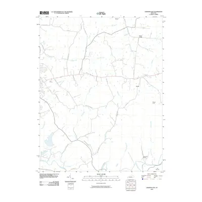 2010 Lebanon East2010 Print · USGSMarion County's rural landscape comes into focus in this recent survey of the settlements and waterways east of Lebanon. Genealogists and local historians can trace family locations near Penick and Poplar Corner or locate ancestral plots at Ryder Cemetery.
 - 2013 Map of Mackville, 2013 Print
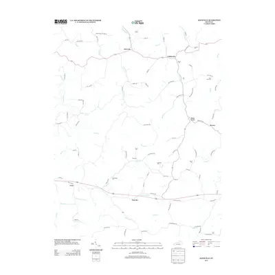 2013 Mackville2013 Print · USGSMackville and the surrounding Washington County hills are shown in this modern survey of the region's historic rural layout. Researchers can trace family roots through numerous burial sites including Mc Mullin Cem, Holderman Cem, and Cull Cem.
 - 2013 Map of Howardstown, 2013 Print
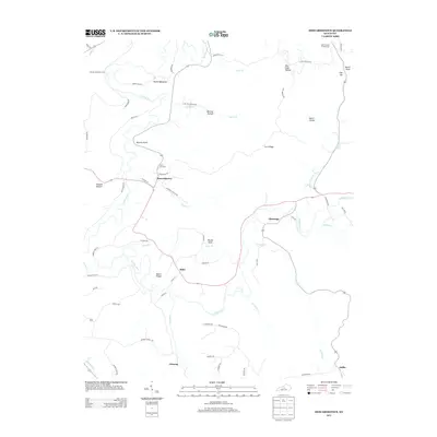 2013 Howardstown2013 Print · USGSThe rural Kentucky landscape near the Larue and Nelson county line is documented here in the early twenty-first century. Researchers can locate established family landmarks and burial sites such as Saint Ann Cem, Gleanings, and the historical McGee and Boone Ford crossing.
 - 2013 Map of Springfield, 2013 Print
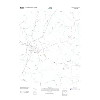 2013 Springfield2013 Print · USGSSpringfield and its neighboring hamlets are captured here during a period of modern growth in the early twenty-first century. Genealogists can trace family connections through sites like Cemetery Hill, Saint Dominics Cem, and the small community of Jimtown.
 - 2013 Map of Bradfordsville NE, 2013 Print
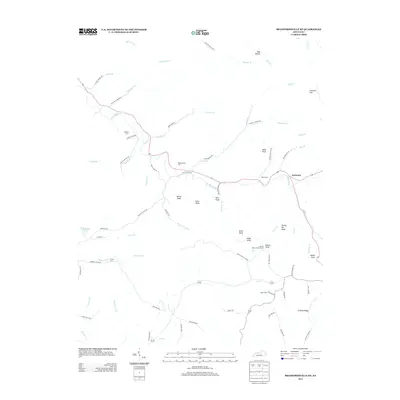 2013 Bradfordsville NE2013 Print · USGSJacktown and the surrounding Kentucky knobs are captured here in the early twenty-first century. Researchers can locate family burial sites like Weatherford Cem and Malone Cem or trace the Button Knob Lookout Tower and Stacy Falls.
 - 2013 Map of Lebanon West, 2013 Print
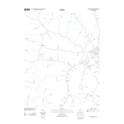 2013 Lebanon West2013 Print · USGSMarion County at the start of the 2010s reveals a landscape of quiet rural settlements and established parish grounds west of the county seat. Researchers can trace family names and local landmarks from Frogtown to Calvary, including several burial sites like Saint Charles Cem.
 - 2013 Map of Saloma, 2013 Print
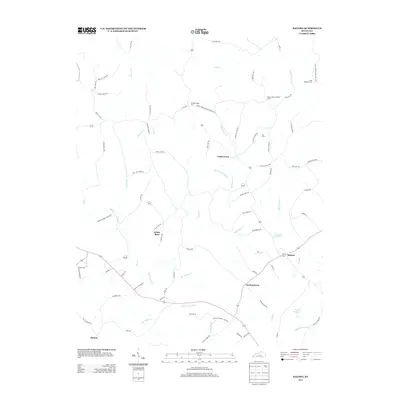 2013 Saloma2013 Print · USGSTaylor County rural life is captured here in the early twenty-first century as agricultural traditions meet modern water management. Genealogists and historians can trace family ties through Saint Matthews Cem and Kerr Cem or locate the old Mount Gilboa Lookout Tower.
 - 2013 Map of Bradfordsville, 2013 Print
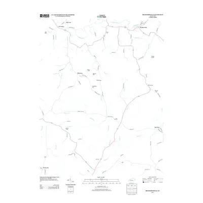 2013 Bradfordsville2013 Print · USGSBradfordsville and the surrounding Kentucky countryside appear here in the early twenty-first century, centered on the Rolling Fork watershed. Genealogists and local historians can locate rural burial sites like Tallow Creek Cem and trace old routes through Stayton Gap or toward Merrimac.
 - 2013 Map of Saint Catharine, 2013 Print
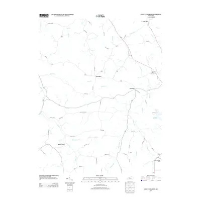 2013 Saint Catharine2013 Print · USGSMarion and Washington counties appear as a thriving agricultural landscape in the early twenty-first century. Researchers can trace rural lineages through family-named landmarks and small hubs like Bearwallow, Cisselville, and the Springfield Reservoir.
 - 2013 Map of Spurlington, 2013 Print
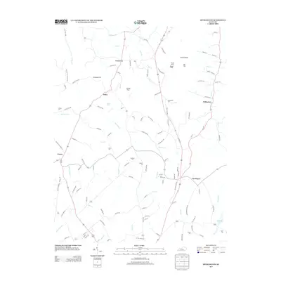 2013 Spurlington2013 Print · USGSSpurlington and the surrounding Taylor County landscape are shown here as they appeared in the early twenty-first century. Genealogists can trace family names across numerous local burial sites including Brookman Cem, Rafferty Cem, and Shively Cem.
 - 2013 Map of Gravel Switch, 2013 Print
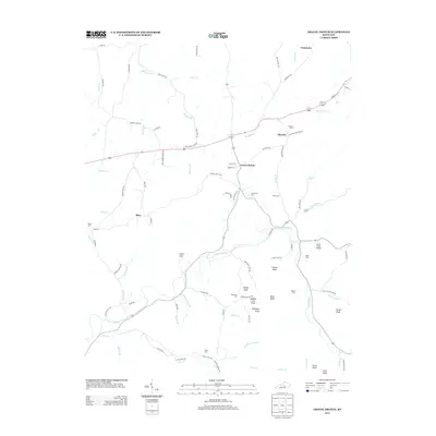 2013 Gravel Switch2013 Print · USGSMarion County in the early twenty-first century reveals a landscape of dispersed rural settlements and family landmarks. Researchers can trace ancestral connections through several local sites including Aliceton Cem, Craintown, and the high ground of Buffalo Lick Knob.
 - 2013 Map of Lebanon East, 2013 Print
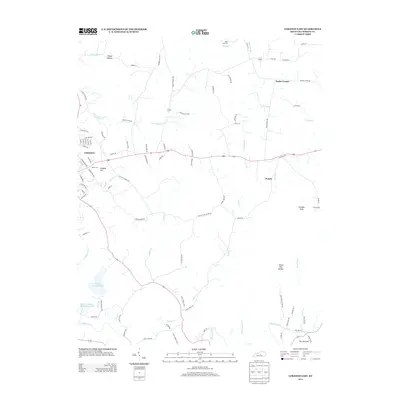 2013 Lebanon East2013 Print · USGSMarion County in the early twenty-first century reveals a landscape where the growing city of Lebanon meets the surrounding farm country. Genealogists and local historians can trace family-named sites like Ryder Cem and Tatum Cem or explore the rural hubs of Penick and Poplar Corner.
 - 2013 Map of Loretto, 2013 Print
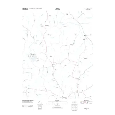 2013 Loretto2013 Print · USGSLoretto and the central Kentucky foothills are captured in the early 2000s, showing a landscape of Catholic heritage and rural family farms. Genealogists can locate family-named sites like Paschal Ballard Ln and historic burial sites such as the Thomas Burying Ground and Smocks Chapel Cem.
Showing maps 1-25 of 52
Top cities of Marion County
Frequently asked questions
- What are the different types of historical maps available for Marion County?
- What is the oldest map of Marion County?
- Where can I purchase historical maps of Marion County for my home or office?
- Where can I download high-res historical maps of Marion County?
- Are there historical topographic maps available for Marion County?
- Is there historical aerial imagery available for Marion County?
- Where are historical maps of Marion County sourced from?