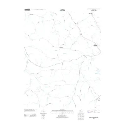
2013 Map of Saint Catharine
USGS Topo · Published 2013About this map
Saint Catharine serves as a primary landmark in this rural Washington and Marion County landscape, where the terrain is defined by a dense network of meandering watercourses like Cartwright Cr and Hardins Cr. Small communities and family-named roads provide a clear view of the area's social geography, featuring established settlements at Bearwallow, Cisselville, and Valley Hill. The presence of the Lebanon-Springfield Airport in the southeast corner marks a modern logistical hub amidst the traditional farmland.
Find a feature on this map
61 named features on this map. Tap any name to fly to it.
Don’t see what you’re looking for? This feature index may not catch every label — zoom into the map to look around manually.
Map Details
Editions of this 2013 Saint Catharine Map
This is the sole edition of this map. No revisions or reprints were ever made.
Other maps of this area

1953 · Loretto
USGS Topo · 1:24,000

1953 · Brush Grove
USGS Topo · 1:24,000

1953 · Maud
USGS Topo · 1:24,000

1953 · Saint Catharine
USGS Topo · 1:24,000

1953 · Lebanon East
USGS Topo · 1:24,000

1953 · Bardstown
USGS Topo · 1:24,000

1953 · Springfield
USGS Topo · 1:24,000

1953 · Raywick
USGS Topo · 1:24,000

1953 · Lebanon West
USGS Topo · 1:24,000

1957 · Winchester
USGS Topo · 1:250,000