Old Maps of Lebanon, Kentucky for Academic Research
Study the evolution of Lebanon with 15 high-resolution historic maps. Whether you're teaching, researching, or modeling changes in land use, these maps provide essential visual documentation of urban, environmental, and geographic change.
- Analyze long-term change: Track patterns in development, transportation, and natural features.
- Ideal for environmental or urban studies: Support academic projects with primary historical map data.
- Use in the classroom or lab: Educators and researchers rely on these maps to bring historical context to life.
These maps are a powerful tool for teaching, research, and visualizing how Lebanon has changed over the decades.
Lebanon, KY maps
(15)- 1953 Map of Lebanon East, 1954 Print
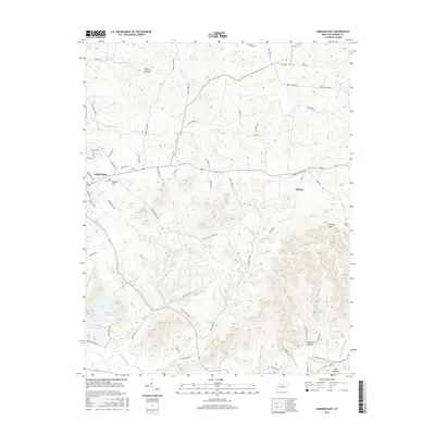
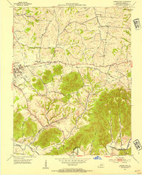 1953 Lebanon East1954 Print · USGSMarion County in the early fifties shows a rural landscape of ridges and creek bottoms as it appeared before modern expansion. Genealogists can trace family landmarks like St Ives Cem, Ryder Cem, and the small settlement of Cartwright along the rail line.2 unique versions available
 - 1953 Map of Lebanon West, 1968 Print
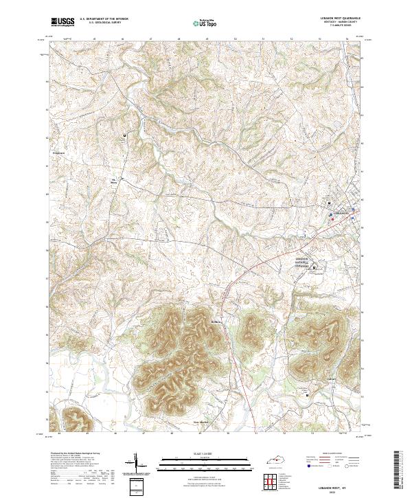
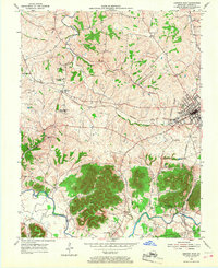 1953 Lebanon West1968 Print · USGSMarion County in the early fifties is captured here as a landscape of rural schoolhouses and rail-dependent towns. Genealogists can trace family footprints near Frogtown, the National Cemetery at Lebanon, or the parish at Calvary.
 - 1957 Map of Winchester, 1968 Print
 1957 Winchester1968 Print · USGSCentral Kentucky's landscape in the mid-twentieth century features the sprawling Fort Knox and the early parkway system. Genealogists and historians can trace rail lines like the Southern Railway and find landmarks from Bernheim Forest to Pilot Knob.3 unique versions available
 - 1960 Map of Winchester
 1960 Winchester1960 Print · USGSCentral Kentucky's diverse landscape is shown here at mid-century, from the bluegrass plains to the rugged Pottsville Escarpment. Genealogists and historians can trace the rail-and-river network connecting towns like Bardstown and Stanford alongside landmarks like Lake Cumberland.
 - 1981 Map of Elizabethtown, 1983 Print
 1981 Elizabethtown1983 Print · USGSCentral Kentucky in the early eighties shows a landscape of military installations, state parks, and historic sites. Genealogists and historians can trace rail lines like the Louisville and Nashville or locate sites like Lebanon National Cemetery and the Lincoln Memorial National Historic Site.
 - 2010 Map of Lebanon West, 2010 Print
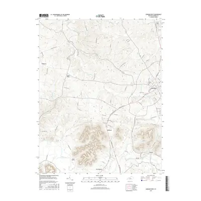
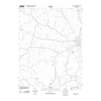 2010 Lebanon West2010 Print · USGSCovers Lebanon, including New Market, Calvary, and other nearby areas
 - 2010 Map of Lebanon East, 2010 Print
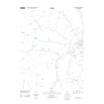
 2010 Lebanon East2010 Print · USGSCovers Lebanon, including Poplar Corner, Penick, and other nearby areas
 - 2013 Map of Lebanon West, 2013 Print
 2013 Lebanon West2013 Print · USGSCovers Lebanon, including New Market, Calvary, and other nearby areas
 - 2013 Map of Lebanon East, 2013 Print
 2013 Lebanon East2013 Print · USGSCovers Lebanon, including Poplar Corner, Penick, and other nearby areas
 - 2016 Map of Lebanon West, 2016 Print
 2016 Lebanon West2016 Print · USGSCovers Lebanon, including New Market, Calvary, and other nearby areas
 - 2016 Map of Lebanon East, 2016 Print
 2016 Lebanon East2016 Print · USGSCovers Lebanon, including Poplar Corner, Penick, and other nearby areas
 - 2019 Map of Lebanon West, 2019 Print
 2019 Lebanon West2019 Print · USGSCovers Lebanon, including New Market, Calvary, and other nearby areas
 - 2019 Map of Lebanon East, 2019 Print
 2019 Lebanon East2019 Print · USGSCovers Lebanon, including Poplar Corner, Penick, and other nearby areas
 - 2022 Map of Lebanon West, 2022 Print
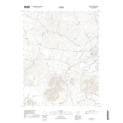
 2022 Lebanon West2022 Print · USGSMarion County in the early twenty-first century maintains its character through a mix of civic centers and rural hamlets. Researchers can locate ancestral sites like Lebanon National Cem and trace settlements from St. Mary to Frogtown.
 - 2022 Map of Lebanon East, 2022 Print
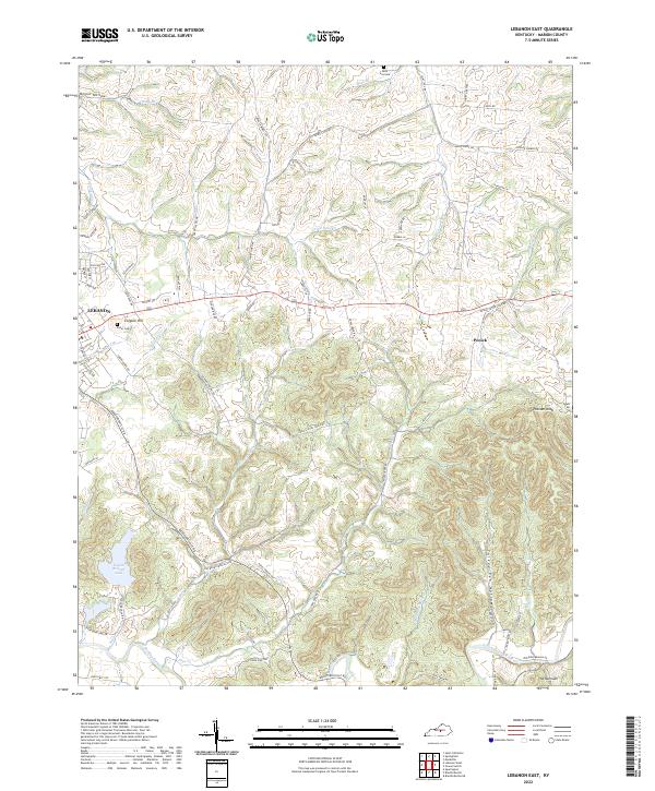 2022 Lebanon East2022 Print · USGSThe rolling hills of Marion County appear here during the early twenty-first century, centered on the expansion of eastern Lebanon. Genealogists and researchers can trace family landmarks like Ryder Cem or the namesake heights of Colgans Hill.
End of results
Showing maps 1-15 of 15
Top cities near Lebanon
- Bardstown historical maps
- Campbellsville historical maps
- Springfield historical maps
- Loretto historical maps
- Bradfordsville historical maps
- Mackville historical maps
See more
Frequently asked questions
- What are the different types of historical maps available for Lebanon?
- What is the oldest map of Lebanon?
- Where can I purchase historical maps of Lebanon for my home or office?
- Where can I download high-res historical maps of Lebanon?
- Are there historical topographic maps available for Lebanon?
- Is there historical aerial imagery available for Lebanon?
- Where are historical maps of Lebanon sourced from?