Old Maps of Harris Hill Ford, Kentucky
Explore 12 old maps of Harris Hill Ford, spanning from 1936 to today. These high-resolution historic maps reveal how streets, neighborhoods, landmarks, and natural features evolved over time — perfect for genealogy, metal detecting, research, and local history exploration.
What you can do with these maps:
- See how Harris Hill Ford changed over time: Compare historical maps to modern-day views to trace roads, homesites, rail lines & more.
- View detailed metadata: Each map includes creators, publishers, year, scale, and archive source.
- Overlay maps with satellite & LiDAR: Visualize the past alongside modern tools to explore terrain & human change.
- Trusted historical sources: Maps sourced from the USGS, Library of Congress, and other archives.
- Access maps your way: View online, download high-res files, or order prints for personal or research use.
Start exploring old maps of Harris Hill Ford to uncover forgotten places, hidden landmarks, and the deep history beneath your feet.
Harris Hill Ford, KY maps
(12)- 1936 Map of Elva
 1936 Elva1936 Print · USGSMarshall and McCracken Counties were deeply agricultural and river-dependent in the mid-1930s. Researchers can trace family homesteads near Mt Moriah Ch, navigate the rail stops at Elva, or locate vanished crossings like Harris Hill Ford.
 - 1936 Map of Benton
 1936 Benton1936 Print · USGSWestern Kentucky's rural Marshall County is captured here in the mid-1930s, showing a landscape defined by river fords and small family settlements. Genealogists can trace hundreds of specific locations, from C C C Camp No 519 to Oak Level and Tatumsville.
 - 1951 Map of Elva, 1956 Print
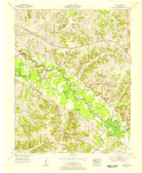 1951 Elva1956 Print · USGSWestern Kentucky's rural river bottoms and early highway corridors are captured here in the early fifties. Genealogists can trace family landmarks and community centers such as Bethlehem Ch, Belton Cem, and the crossing at McCoy Ford Bridge.2 unique versions available
 - 1955 Map of Benton, 1957 Print
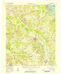 1955 Benton1957 Print · USGSWestern Kentucky in the mid-fifties shows a landscape redefined by the rising waters of Kentucky Lake and the legacy of the Kentucky Dam. Genealogists can trace family names through dozens of rural landmarks like Church Grove Ch, Oak Level Sch, and Steam Mill Bend.
 - 1956 Map of Dyersburg, 1960 Print
 1956 Dyersburg1960 Print · USGSThe Four Rivers region comes alive in the mid-fifties, capturing the intricate borderlands of Tennessee, Kentucky, and Missouri. Genealogists and historians can trace the rail-and-river networks connecting Dyersburg, Caruthersville, and the shoreline of Reelfoot Lake.4 unique versions available
 - 1982 Map of Elva
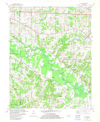 1982 Elva1982 Print · USGSWestern Kentucky in the early eighties reveals a river-linked landscape of family homesteads and small country parishes. Genealogists can trace local roots through Wallace Cem, Feezor Cem, and old church sites like Oakland Ch.
 - 1986 Map of Murray
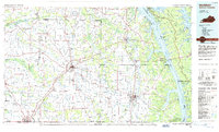 1986 Murray1986 Print · USGSWestern Kentucky in the mid-1980s reveals a landscape defined by the Tennessee and Cumberland rivers. Genealogists and historians can trace rail-town development along the Illinois Central Gulf RR and find family-named locations like Dukedom and Water Valley.2 unique versions available
 - 2010 Map of Elva, 2010 Print
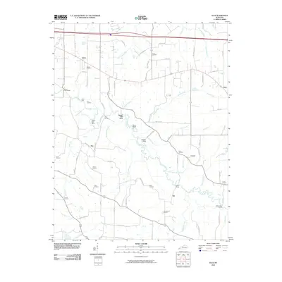 2010 Elva2010 Print · USGSMarshall County's rural landscape is mapped here as it appeared in the early twenty-first century, centered on the winding Clarks River. Genealogists and local historians can trace family roots through numerous sites like Wallace Cemetery, Barker Cemetery, and the old settlement at Elva.
 - 2013 Map of Elva, 2013 Print
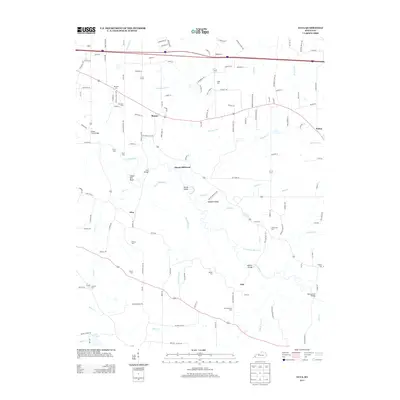 2013 Elva2013 Print · USGSIn the early twenty-first century, this Marshall County landscape remains defined by its winding waterways and rural crossroads. Genealogists can trace family legacies at Dishman Cem or Armstrong Cem, while historians can locate old river crossings like Harris Hill Ford.
 - 2016 Map of Elva, 2016 Print
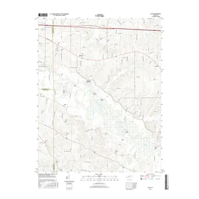 2016 Elva2016 Print · USGSWest Kentucky river life and rural family heritage are preserved here in the mid-2010s, where three counties meet along the Clarks River. Genealogists and local historians can trace numerous family burial sites such as Dishman Cem and Armstrong Cem, or locate historic river crossings like Harris Hill Ford.
 - 2019 Map of Elva, 2019 Print
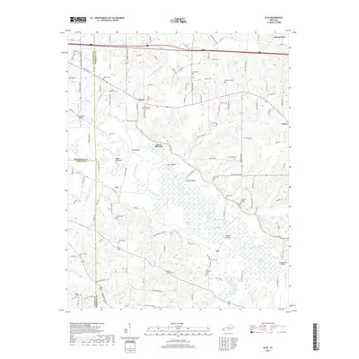 2019 Elva2019 Print · USGSWestern Kentucky's river-fed lowlands are mapped here in the late 2010s, revealing a landscape defined by the winding Clarks River. Researchers can trace old family lineages through numerous sites like Armstrong - Maple Hill Cem, the Barker Cem, and Steam Mill Bend.
 - 2022 Map of Elva, 2022 Print
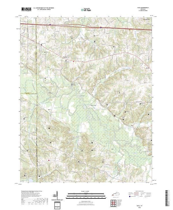 2022 Elva2022 Print · USGSMarshall County's riparian landscape is documented here in the early twenty-first century, centered on the wetlands of the Clarks River. Genealogists and local historians can locate numerous family burial sites like Oakland Cem and Armstrong - Maple Hill Cem alongside landmarks such as Harris Hill Ford.
End of results
Showing maps 1-12 of 12
Top cities near Harris Hill Ford
- Paducah historical maps
- Mayfield historical maps
- Metropolis historical maps
- Reidland historical maps
- Benton historical maps
- Calvert City historical maps
See more
Frequently asked questions
- What are the different types of historical maps available for Harris Hill Ford?
- What is the oldest map of Harris Hill Ford?
- Where can I purchase historical maps of Harris Hill Ford for my home or office?
- Where can I download high-res historical maps of Harris Hill Ford?
- Are there historical topographic maps available for Harris Hill Ford?
- Is there historical aerial imagery available for Harris Hill Ford?
- Where are historical maps of Harris Hill Ford sourced from?