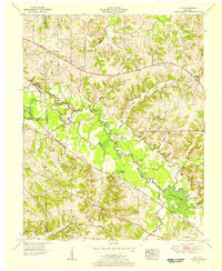
1951 Map of Elva
USGS Topo · Published 1956About this map
The East Fork Clarks River winds through this rural landscape in Marshall County, creating a complex series of wetlands and oxbows such as Steam Mill Bend, Devils Elbow, and the expansive Milliken Swamp. The settlement of Elva sits at a geographic crossroads where the Nashville Chattanooga and St. Louis Ry and a dismantled railroad converge near the riverbanks. This 1951 survey reveals a deeply established community network of small rural churches and family-named cemeteries, including Oakland Ch, Mt Moriah Church, and the Story Cem. To the north, the Jefferson Davis Highway serves as a primary transit corridor through Sharpe, passing landmarks like a drive-in theater and the Sharpe Sch. The map also details the transition from high ground at Hogskin Ridge to the low river bottoms where Benge Pond and Coon Pond persist in the floodplain.
Find a feature on this map
60 named features on this map. Tap any name to fly to it.
Don’t see what you’re looking for? This feature index may not catch every label — zoom into the map to look around manually.
Map Details
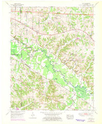
Editions of this 1951 Elva Map
2 editions found
Other maps of this area

1926 · Paducah
USGS Topo · 1:62,500

1929 · Smithland
USGS Topo · 1:62,500

1929 · Paducah
USGS Topo · 1:62,500

1936 · Paducah
USGS Topo · 1:24,000

1936 · Oak Level
USGS Topo · 1:24,000

1936 · Elva
USGS Topo · 1:24,000

1936 · Hardin
USGS Topo · 1:24,000

1936 · Smithland
USGS Topo · 1:48,000

1936 · Symsonia
USGS Topo · 1:24,000

1936 · Benton
USGS Topo · 1:48,000