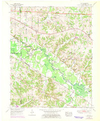
1951 Map of Elva
USGS Topo · Published 1969About this map
The East Fork Clarks River winds through this low-lying landscape, defining the rural character of Marshall and Graves counties at mid-century. The river's path is marked by distinctive hydrological features such as Devils Elbow, the swampy Burkholder Deadening, and Steam Mill Bend. The Jefferson Davis Highway serves as the primary artery for northern settlements like Sharpe, while the Louisville and Nashville RR cuts through the southern terrain, supporting the small community of Elva.
Find a feature on this map
70 named features on this map. Tap any name to fly to it.
Don’t see what you’re looking for? This feature index may not catch every label — zoom into the map to look around manually.
Map Details
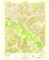
Editions of this 1951 Elva Map
2 editions found
Other maps of this area

1926 · Paducah
USGS Topo · 1:62,500

1929 · Smithland
USGS Topo · 1:62,500

1929 · Paducah
USGS Topo · 1:62,500

1936 · Paducah
USGS Topo · 1:24,000

1936 · Oak Level
USGS Topo · 1:24,000

1936 · Elva
USGS Topo · 1:24,000

1936 · Hardin
USGS Topo · 1:24,000

1936 · Smithland
USGS Topo · 1:48,000

1936 · Symsonia
USGS Topo · 1:24,000

1936 · Benton
USGS Topo · 1:48,000