2010s Maps of Martin County, Kentucky
Explore 44 historic maps of Martin County from the 2010s. These maps offer a rare glimpse into what life looked like during the 2010s — showing old roads, neighborhoods, homes, and landmarks that have changed or disappeared over time.
Whether you're researching your family's past, planning a metal detecting trip, or studying how Martin County's landscape evolved across the 2010s, these high-resolution maps are a powerful tool for exploring the history of this region.
- Focus on a specific era: All maps on this page are from the 2010s, giving you a focused view of this time period.
- See what’s changed: Compare century-old streets, trails, and buildings to today's modern landscape using overlays and satellite layers.
- Research with precision: Use these maps for genealogy, historical research, land use analysis, or educational projects.
- View, download, or print: Maps are fully viewable online in high resolution, and can be downloaded or printed for your own records.
Start exploring Martin County's history through authentic maps from the 2010s. This is your window into the past.
Martin County, KY maps
(44)- 2010 Map of Richardson, 2010 Print
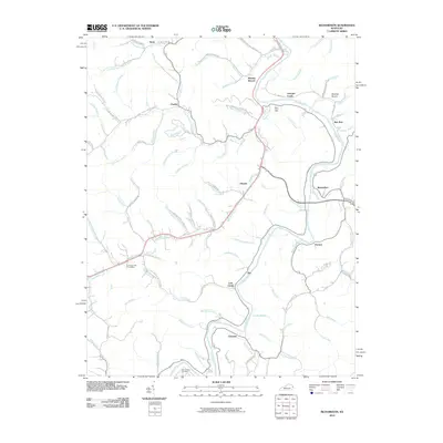 2010 Richardson2010 Print · USGSLawrence County, Kentucky, is defined by the winding Louisa Fork and its network of mountain hollers at the start of the twenty-first century. Genealogists and local historians can trace family ties through Son Butcher Cemetery and small communities like Richardson, Ulysses, and Charley.
 - 2010 Map of Offutt, 2010 Print
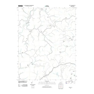 2010 Offutt2010 Print · USGSJohnson County, Kentucky, is documented here in the early twenty-first century, showing the intricate creek networks of the Appalachians. Researchers can trace family roots through Butcher Hollow and numerous burial sites like Old Friendship Cemetery and Atkins Cemetery.
 - 2010 Map of Varney, 2010 Print
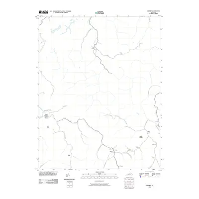 2010 Varney2010 Print · USGSEastern Kentucky's rugged hollows and creek-side settlements are captured here during the first decade of the 2000s. Genealogists can locate family burial grounds like Caney Cemetery and Varney Cemetery near the communities of Heenon and Piso.
 - 2010 Map of Lancer, 2010 Print
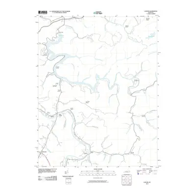 2010 Lancer2010 Print · USGSFloyd County at the turn of the decade shows a landscape shaped by the waters of the Levisa Fork and the recreation-rich shoreline of Dewey Lake. Trace family roots and local history through small settlements like Emma and Endicott or the grounds of Mayo Cemetery.
 - 2010 Map of Inez, 2010 Print
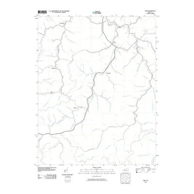 2010 Inez2010 Print · USGSMartin County settlements and family-named hollows appear in clear detail during the early 2000s. Researchers can trace ancestral locations near the Ward Cemetery or explore the valley roads connecting Davella, Debord, and the community of Inez.
 - 2010 Map of Thomas, 2010 Print
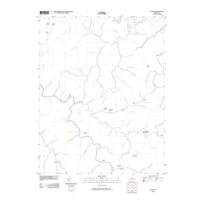 2010 Thomas2010 Print · USGSEastern Kentucky's ridge-and-hollow landscape is captured here in the early twenty-first century. Genealogists can trace family names at CC Maynards Settlement or locate remote burial sites like Kirk Cemetery and Jackson Cemetery tucked away in the hills.
 - 2010 Map of Naugatuck, 2010 Print
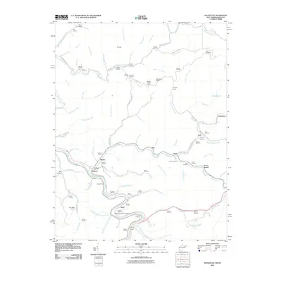 2010 Naugatuck2010 Print · USGSMingo County life centers on the winding Tug Fork and its steep hollows during the early twenty-first century. Genealogists can trace numerous family burial sites, including the Hanna Cemeteries and Vennatter Cemetery, alongside the Old N and W Railroad Bed Rd.
 - 2010 Map of Webb, 2010 Print
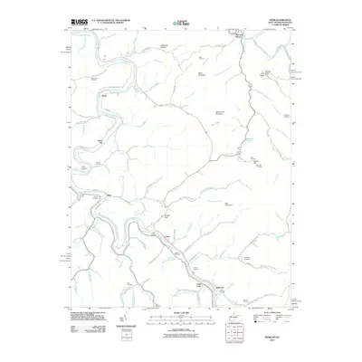 2010 Webb2010 Print · USGSThe West Virginia and Kentucky borderlands come alive in this early 21st-century record of the Tug Fork river valley. Genealogists and local historians can locate numerous family burial grounds like Sammons Cemetery and Chaffin Cemetery near the settlements of Crum and Webb.
 - 2010 Map of Kermit, 2010 Print
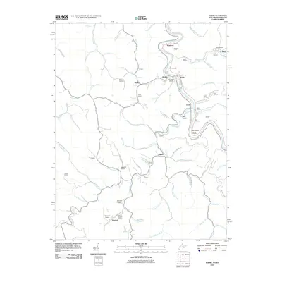 2010 Kermit2010 Print · USGSThe borderlands of the Tug Fork come alive in this 2010 study of the Kentucky-West Virginia line. Genealogists can trace family roots through Petercave Memorial Cemetery or explore the rail-linked settlements of Kermit and Warfield.
 - 2010 Map of Milo, 2010 Print
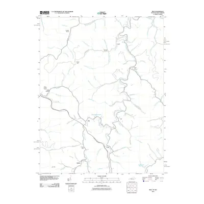 2010 Milo2010 Print · USGSMartin County's rural communities are documented here in the early 2000s as they follow the winding waters of Rockcastle Creek. Researchers can locate family landmarks such as Stidham Post Office, Castle School, and the Hammond Cemetery.
 - 2011 Map of Williamson, 2011 Print
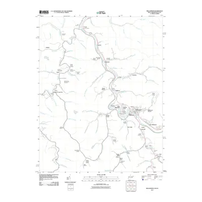 2011 Williamson2011 Print · USGSThe Tug Fork valley along the West Virginia and Kentucky border shows its established settlement patterns in the early 2000s. Genealogists can locate numerous family burial sites such as Goff Cemetery and Hayes Lowe Cemetery, alongside historic hubs like Chattaroy and Nolan.
 - 2013 Map of Varney, 2013 Print
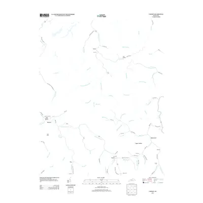 2013 Varney2013 Print · USGSPike County’s hollows and ridgelines are documented here in the early twenty-first century, showing the enduring settlement patterns of the Appalachian highlands. Genealogists can trace family names and sites like Smith Cem, Apple Orchard Cem, and the community of Upper Turkey.
 - 2013 Map of Offutt, 2013 Print
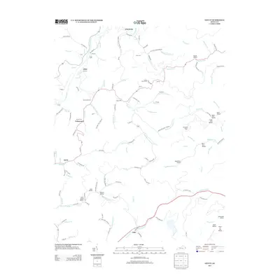 2013 Offutt2013 Print · USGSEastern Kentucky's coal-country hollows are mapped in detail during the early twenty-first century. Researchers can trace family roots through Butcher Hollow and Williamsport, or locate landmarks like Spring Knob Lookout Tower and the Ballard Butcher Cem.
 - 2013 Map of Richardson, 2013 Print
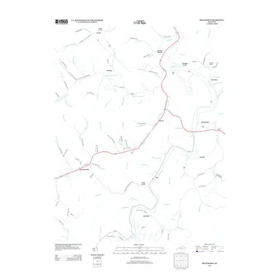 2013 Richardson2013 Print · USGSLawrence County, Kentucky, is shown in the early twenty-first century, centered on the winding Levisa Fork and its rural hollows. Trace family roots and local landmarks at the Son Butcher Cem or the settlements of Lowmansville, Richardson, and Charley.
 - 2013 Map of Lancer, 2013 Print
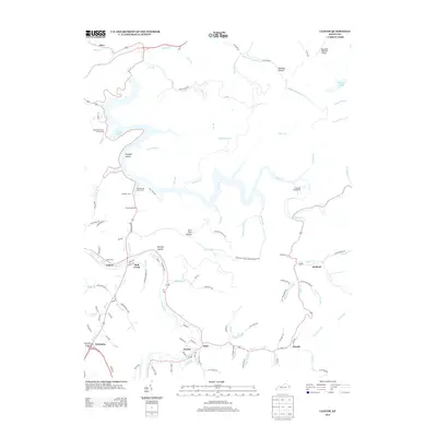 2013 Lancer2013 Print · USGSFloyd County, Kentucky, is shown in the early twenty-first century as a landscape of managed waterways and tight-knit valley communities. Local historians can trace family locations and land use through Dewey Lake, the Mayo Cem, and the village of Endicott.
 - 2013 Map of Thomas, 2013 Print
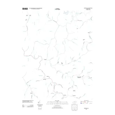 2013 Thomas2013 Print · USGSEastern Kentucky's narrow creek valleys and timbered ridges are captured here during the early twenty-first century. Genealogists can locate family burial grounds like Kirk Cemetery and Maynard Cemetery or trace the layout of CC Maynards Settlement.
 - 2013 Map of Milo, 2013 Print
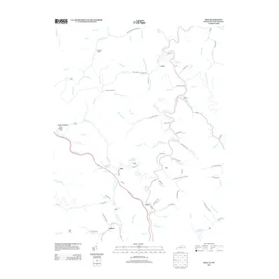 2013 Milo2013 Print · USGSMartin County's hollows and ridges are documented here during the early twenty-first century as small valley communities persist. Family historians can trace local landmarks like Buffalo Horn Cem, the Castle School, and the Orchard Lookout Tower.
 - 2013 Map of Inez, 2013 Print
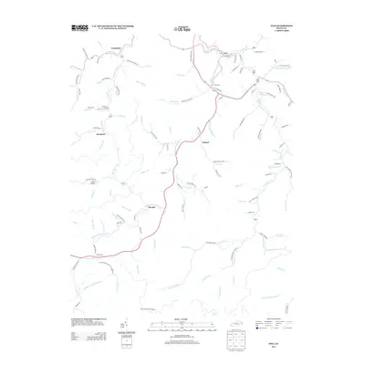 2013 Inez2013 Print · USGSMartin County's valley settlements and winding waterways are shown here during the early twenty-first century. Researchers can trace family names and local geography through landmarks like Ward Cem and the communities of Inez, Tomahawk, and Davella.
 - 2014 Map of Naugatuck, 2014 Print
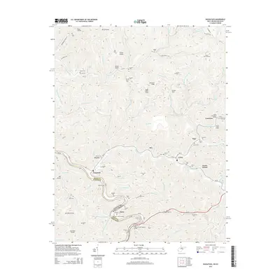 2014 Naugatuck2014 Print · USGSThe Tug Fork river valley serves as the border between West Virginia and Kentucky in this detailed look at early 21st-century Mingo County. Genealogists can trace family history through dozens of local sites like Hanna Cemeteries, Waldron Cem, and the settlement at Parsley Bottom.
 - 2014 Map of Kermit, 2014 Print
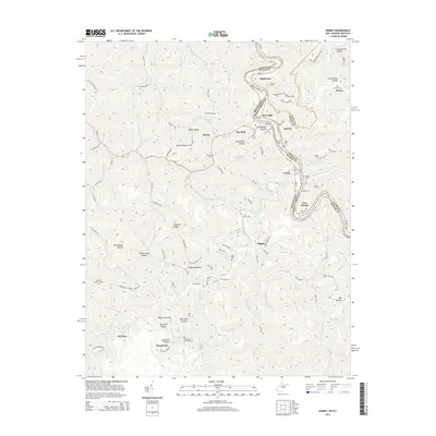 2014 Kermit2014 Print · USGSThe border communities of the Kentucky-West Virginia state line are shown here in the early twenty-first century as they follow the deep bends of the Tug Fork. Researchers can trace old mountain burial grounds like Kirk Cem and the rail engineering of Number 1 Tunnel.
 - 2014 Map of Williamson, 2014 Print
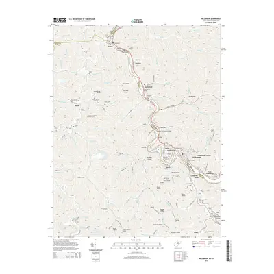 2014 Williamson2014 Print · USGSThe Tug Fork borderland near the turn of the twenty-first century reveals a dense network of valley settlements and riverside infrastructure. Researchers can trace dozens of family-named landmarks and cemeteries like Goff Cem, or locate crossings such as the Nolan Toll Bridge.
 - 2014 Map of Webb, 2014 Print
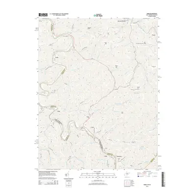 2014 Webb2014 Print · USGSThe Tug Fork valley serves as a bustling corridor for river, rail, and road traffic along the West Virginia and Kentucky border. Genealogists and local historians can trace family burial grounds like Sammons Cem and explore riverside settlements such as Webb and Crum.
 - 2016 Map of Thomas, 2016 Print
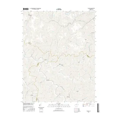 2016 Thomas2016 Print · USGSEastern Kentucky's mountain borders are meticulously documented in this 2016 study of the Martin, Floyd, and Pike county lines. Researchers can trace family-named sites and small settlements from McCombs to Gulnare, including Lowe Cem and Chestnut Knob.
 - 2016 Map of Richardson, 2016 Print
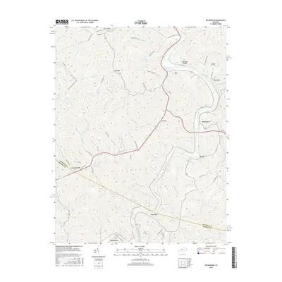 2016 Richardson2016 Print · USGSThe Levisa Fork valley and the hollows of Lawrence County are captured in this mid-2010s survey. Genealogists and local historians can trace family locations near Lowmansville, Whitehouse, and the Son Butcher Cem amidst the steep hills and creeks.
 - 2016 Map of Varney, 2016 Print
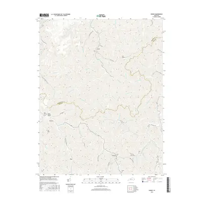 2016 Varney2016 Print · USGSThe hollows of Pike County are captured here in the mid-2010s, showing a landscape defined by narrow valley settlements and deep ridges. Researchers can locate remote family landmarks and community hubs like Rocklick Church, Varney Cem, and Apple Orchard Bottom.
Showing maps 1-25 of 44
Top cities of Martin County
Frequently asked questions
- What are the different types of historical maps available for Martin County?
- What is the oldest map of Martin County?
- Where can I purchase historical maps of Martin County for my home or office?
- Where can I download high-res historical maps of Martin County?
- Are there historical topographic maps available for Martin County?
- Is there historical aerial imagery available for Martin County?
- Where are historical maps of Martin County sourced from?