2000s (21st Century) Maps of Mercer County, Kentucky
Explore 55 historic maps of Mercer County from the 2000s (21st Century). These maps offer a rare glimpse into what life looked like during the 2000s — showing old roads, neighborhoods, homes, and landmarks that have changed or disappeared over time.
Whether you're researching your family's past, planning a metal detecting trip, or studying how Mercer County's landscape evolved across the 2000s, these high-resolution maps are a powerful tool for exploring the history of this region.
- Focus on a specific era: All maps on this page are from the 2000s, giving you a focused view of this time period.
- See what’s changed: Compare century-old streets, trails, and buildings to today's modern landscape using overlays and satellite layers.
- Research with precision: Use these maps for genealogy, historical research, land use analysis, or educational projects.
- View, download, or print: Maps are fully viewable online in high resolution, and can be downloaded or printed for your own records.
Start exploring Mercer County's history through authentic maps from the 2000s. This is your window into the past.
Mercer County, KY maps
(55)- 2010 Map of McBrayer, 2010 Print
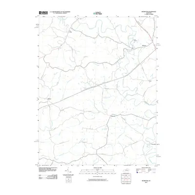 2010 McBrayer2010 Print · USGSAnderson County at the start of the 2010s shows a landscape defined by the winding Salt River and rural crossroads. Local historians can trace family-named landmarks and small settlements like Fox Creek, Ballard, and the prominent local feature known as The Mound.
 - 2010 Map of Mackville, 2010 Print
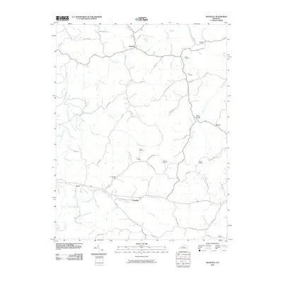 2010 Mackville2010 Print · USGSIn the heart of Kentucky during the early 2000s, this area showcases a rural landscape defined by historic family settlements and winding creek beds. Researchers can locate numerous family burial grounds like McMullin Cemetery and Holderman Cemetery near the community of Mackville.
 - 2010 Map of Perryville, 2010 Print
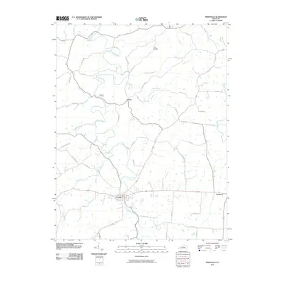 2010 Perryville2010 Print · USGSBoyle County as it appeared in the early twenty-first century reveals a landscape defined by the Chaplin River and its many branches. Genealogists and historians can trace family roots through landmarks like the Patterson Cemetery and the settlement at Dixville.
 - 2010 Map of Salvisa, 2010 Print
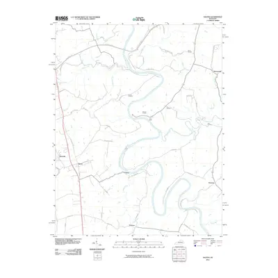 2010 Salvisa2010 Print · USGSCentral Kentucky's rural river bluffs are documented here during the early twenty-first century as the landscape remains defined by its deep limestone bends. Genealogists and local historians can trace family-named sites like Morris Cemetery and old river outposts including Oregon and Nonesuch.
 - 2010 Map of Wilmore, 2010 Print
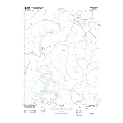 2010 Wilmore2010 Print · USGSThe Kentucky River gorge near Wilmore is captured here in the early twenty-first century, featuring its deep bends and engineering landmarks. Trace local history through High Bridge, Dix Dam, and numerous riverside settlements like Castlewood Camp and Ashleys Camp.
 - 2010 Map of Bryantsville, 2010 Print
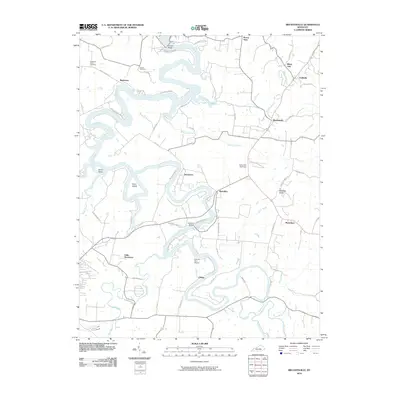 2010 Bryantsville2010 Print · USGSBoyle County settlement patterns and the deep meanders of the Dix River define this area at the start of the 2010s. Researchers can locate family landmarks such as Proctor Cemetery, the historic Camp Dick Robinson, and the crossing at Chenault Bridge.
 - 2010 Map of Cardwell, 2010 Print
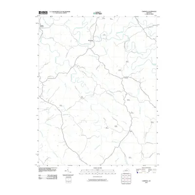 2010 Cardwell2010 Print · USGSWashington County at the turn of the decade remains a landscape of deep-rooted family history and winding river valleys. Researchers can trace ancestral lines through numerous small burial grounds like Glens Creek Cemetery and Prather Cemetery near the Chaplin River.
 - 2010 Map of Ashbrook, 2010 Print
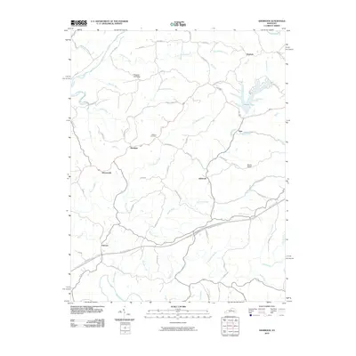 2010 Ashbrook2010 Print · USGSThe rural Anderson County landscape is captured here in the early twenty-first century, showing a network of small hamlets and winding creeks. Researchers can trace family sites near Leathers Cemetery or locate old community centers like Ashbrook, Sinai, and Johnsonville.
 - 2010 Map of Cornishville, 2010 Print
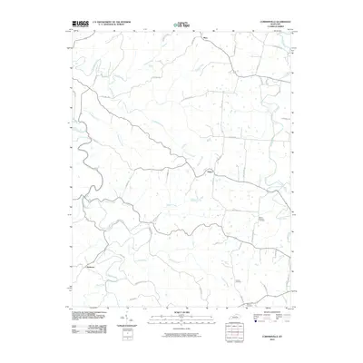 2010 Cornishville2010 Print · USGSMercer County at the start of the millennium retains its traditional rural structure, organized around the winding Salt River and Chaplin River. Researchers can trace family roots at Mount Pleasant Cemetery or locate old homesteads near Bohon and Mayo.
 - 2010 Map of Harrodsburg, 2010 Print
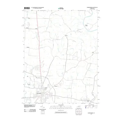 2010 Harrodsburg2010 Print · USGSHarrodsburg and the surrounding Mercer County countryside are captured here in the early twenty-first century as the modern bypass meets historic pikes. Researchers can trace family roots at Spring Hill Cemetery or explore river-front history at Mundys Landing and the iconic Kissing Bridge.
 - 2010 Map of Danville, 2010 Print
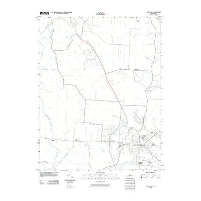 2010 Danville2010 Print · USGSDanville and its surrounding countryside are captured here during a period of modern expansion in the early 2000s. Genealogists and local historians can locate several burial sites, including Danville National Cemetery, and trace the development of neighborhoods like West Danville and Beverly Hills.
 - 2013 Map of Mackville, 2013 Print
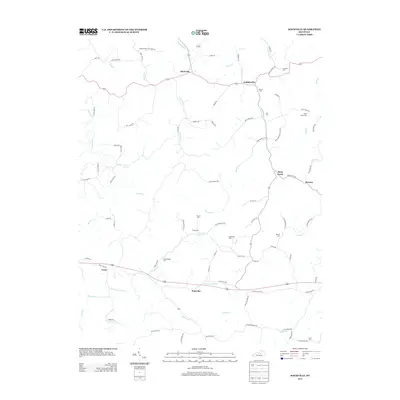 2013 Mackville2013 Print · USGSMackville and the surrounding Washington County hills are shown in this modern survey of the region's historic rural layout. Researchers can trace family roots through numerous burial sites including Mc Mullin Cem, Holderman Cem, and Cull Cem.
 - 2013 Map of Cardwell, 2013 Print
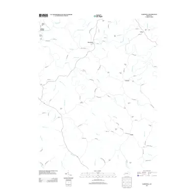 2013 Cardwell2013 Print · USGSThe rural communities of Washington County are captured here in the early 2010s, centered on the Chaplin River. Genealogists and local historians can trace family roots through numerous burial sites like Glens Creek Cem, Bethel Cem, and Royalty Cem.
 - 2013 Map of Ashbrook, 2013 Print
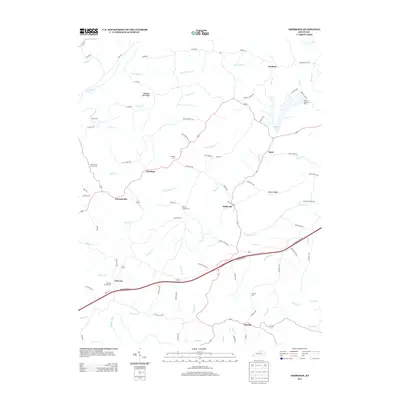 2013 Ashbrook2013 Print · USGSAnderson County's rural character is preserved in this recent survey of the Kentucky landscape. Local historians can trace family ties at Pennys Chapel Cem and Leathers Cem or explore the development around Beaver Lake and the settlement of Ashbrook.
 - 2013 Map of Wilmore, 2013 Print
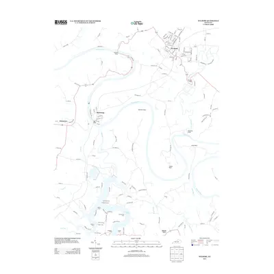 2013 Wilmore2013 Print · USGSThis central Kentucky landscape is defined by the sharp meanders of the Kentucky River and the deep inlets of Herrington Lake in the early twenty-first century. Researchers can trace historic river crossings like High Bridge or locate local landmarks like Shakertown and Chimney Rock Camp.
 - 2013 Map of Salvisa, 2013 Print
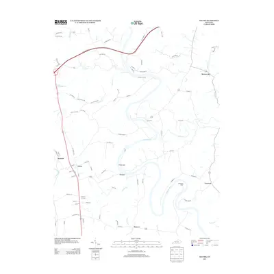 2013 Salvisa2013 Print · USGSThe central Kentucky river country near Salvisa and Mortonsville is documented here just after the turn of the twenty-first century. Researchers can trace old ferry routes and rural communities such as Oregon, Ebenezer, and Nonesuch along the loops of the Kentucky River.
 - 2013 Map of Danville, 2013 Print
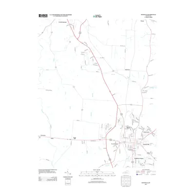 2013 Danville2013 Print · USGSBoyle County enters the second decade of the millennium with expanding neighborhoods and traditional rural crossroads. Researchers can trace the development of residential communities like Caldwell Manor and Beverly Hills alongside natural features like Cove Spring.
 - 2013 Map of Perryville, 2013 Print
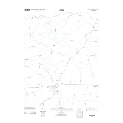 2013 Perryville2013 Print · USGSPerryville and its surrounding rural hamlets are shown in the early twenty-first century amidst a complex network of Kentucky waterways. Researchers can trace land tracts along the Chaplin River, the outskirts of Dixville, or family landmarks like Laurel Hill.
 - 2013 Map of Harrodsburg, 2013 Print
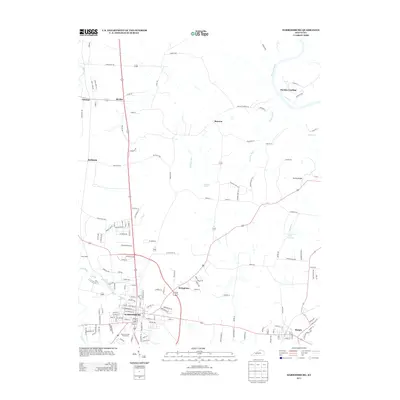 2013 Harrodsburg2013 Print · USGSHarrodsburg and its surrounding Mercer County farmland are captured here in the early twenty-first century. Genealogists and local historians can trace family-named pikes and rural settlements from McAfee to Burgin, while finding landmarks like the Mercer County Fairgrounds and the Kissing Bridge.
 - 2013 Map of Cornishville, 2013 Print
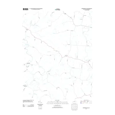 2013 Cornishville2013 Print · USGSMercer County land and waterways appear in high detail during the early twenty-first century. Researchers can trace family-named routes and small communities such as Cornishville, Bushtown, and Bohon, or follow the banks of the Chaplin River and Salt River.
 - 2013 Map of Bryantsville, 2013 Print
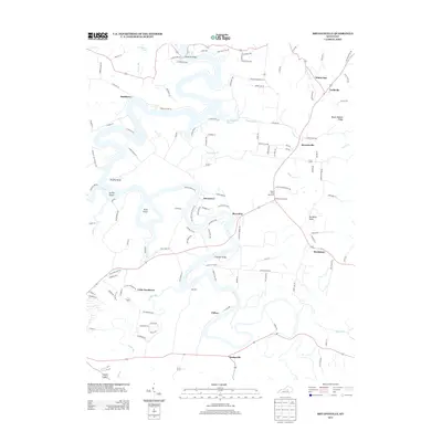 2013 Bryantsville2013 Print · USGSThis early twenty-first-century view of the area near Danville shows a landscape defined by the deep waters of Herrington Lake. Researchers can trace old community centers at Bryantsville and Marcellus or locate family-named landmarks like Kennedy Bridge.
 - 2013 Map of McBrayer, 2013 Print
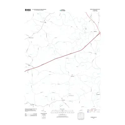 2013 McBrayer2013 Print · USGSCentral Kentucky's rural landscape is captured here in the early 2000s, showing the intersection of historic crossroads and modern travel. Researchers can trace family roots through small settlements like Cheese Lick, Fox Creek, and Terrapin or locate the Harold Reynolds Airport.
 - 2016 Map of Cardwell, 2016 Print
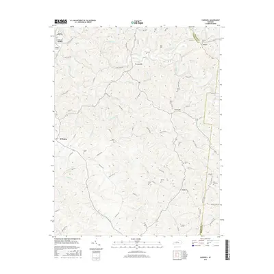 2016 Cardwell2016 Print · USGSThe rural border of Washington and Mercer counties comes into focus in this recent survey. Genealogists can trace family heritage through numerous burial sites like Glens Creek Cem, Royalty Cem, and Adkinson Cem near the banks of the Chaplin River.
 - 2016 Map of Salvisa, 2016 Print
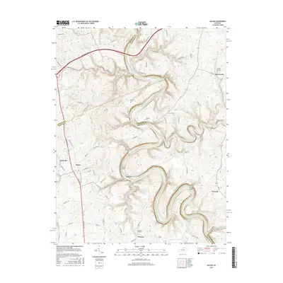 2016 Salvisa2016 Print · USGSThe Kentucky River's winding oxbows define this central Kentucky landscape where Anderson, Woodford, and Mercer Counties meet. Researchers can trace rural family lineages through numerous burial sites like Hawkins Cem and The Polk Memorial Church Cem near Mortonsville.
 - 2016 Map of Perryville, 2016 Print
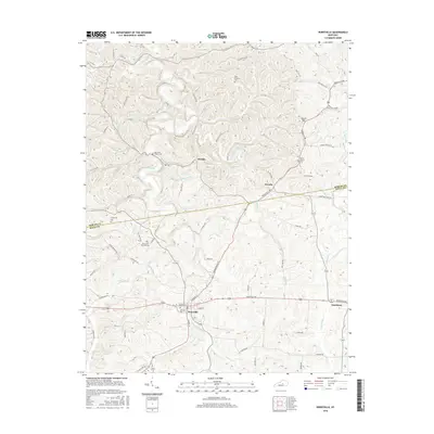 2016 Perryville2016 Print · USGSBoyle and Mercer Counties appear in the mid-2010s, centered on the Chaplin River. Researchers can trace historical sites like the Perryville National Cem and early settlements including Dixville and Nevada.
Showing maps 1-25 of 55
Top cities of Mercer County
Frequently asked questions
- What are the different types of historical maps available for Mercer County?
- What is the oldest map of Mercer County?
- Where can I purchase historical maps of Mercer County for my home or office?
- Where can I download high-res historical maps of Mercer County?
- Are there historical topographic maps available for Mercer County?
- Is there historical aerial imagery available for Mercer County?
- Where are historical maps of Mercer County sourced from?