2000s (21st Century) Maps of Harrodsburg, Kentucky
Explore 15 historic maps of Harrodsburg from the 2000s (21st Century). These maps offer a rare glimpse into what life looked like during the 2000s — showing old roads, neighborhoods, homes, and landmarks that have changed or disappeared over time.
Whether you're researching your family's past, planning a metal detecting trip, or studying how Harrodsburg's landscape evolved across the 2000s, these high-resolution maps are a powerful tool for exploring the history of this region.
- Focus on a specific era: All maps on this page are from the 2000s, giving you a focused view of this time period.
- See what’s changed: Compare century-old streets, trails, and buildings to today's modern landscape using overlays and satellite layers.
- Research with precision: Use these maps for genealogy, historical research, land use analysis, or educational projects.
- View, download, or print: Maps are fully viewable online in high resolution, and can be downloaded or printed for your own records.
Start exploring Harrodsburg's history through authentic maps from the 2000s. This is your window into the past.
Harrodsburg, KY maps
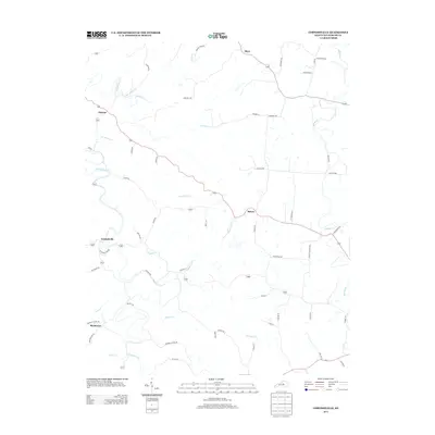
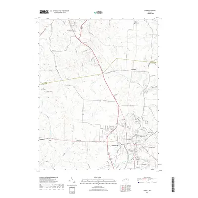
(15)- 2010 Map of Cornishville, 2010 Print
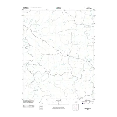 2010 Cornishville2010 Print · USGSCovers Harrodsburg, including Mavo, Mayo, and other nearby areas
 - 2010 Map of Harrodsburg, 2010 Print
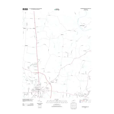
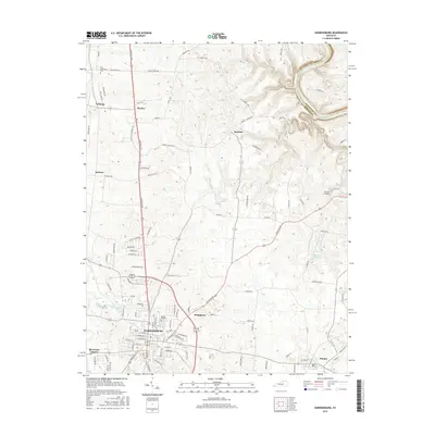
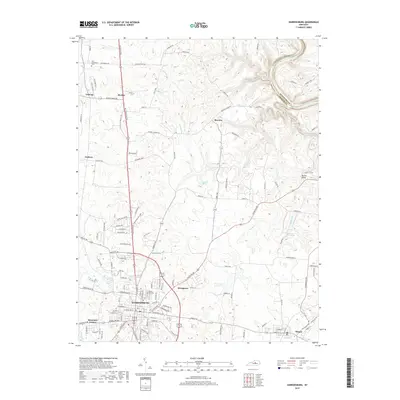
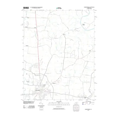 2010 Harrodsburg2010 Print · USGSCovers Harrodsburg, including Burgin, McAfee, and other nearby areas
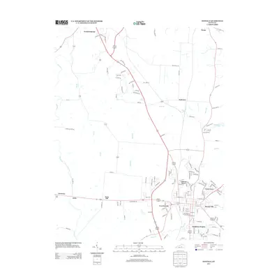
 - 2010 Map of Danville, 2010 Print
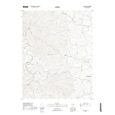
 2010 Danville2010 Print · USGSCovers Harrodsburg, including Danville, Burgin, and other nearby areas
 - 2013 Map of Danville, 2013 Print
 2013 Danville2013 Print · USGSCovers Harrodsburg, including Danville, Burgin, and other nearby areas
 - 2013 Map of Harrodsburg, 2013 Print
 2013 Harrodsburg2013 Print · USGSCovers Harrodsburg, including Burgin, McAfee, and other nearby areas
 - 2013 Map of Cornishville, 2013 Print
 2013 Cornishville2013 Print · USGSCovers Harrodsburg, including Mavo, Mayo, and other nearby areas
 - 2016 Map of Danville, 2016 Print
 2016 Danville2016 Print · USGSCovers Harrodsburg, including Danville, Burgin, and other nearby areas
 - 2016 Map of Cornishville, 2016 Print
 2016 Cornishville2016 Print · USGSCovers Harrodsburg, including Mavo, Mayo, and other nearby areas
 - 2016 Map of Harrodsburg, 2016 Print
 2016 Harrodsburg2016 Print · USGSCovers Harrodsburg, including Burgin, McAfee, and other nearby areas
 - 2019 Map of Danville, 2019 Print
 2019 Danville2019 Print · USGSCovers Harrodsburg, including Danville, Burgin, and other nearby areas
 - 2019 Map of Cornishville, 2019 Print
 2019 Cornishville2019 Print · USGSCovers Harrodsburg, including Mavo, Mayo, and other nearby areas
 - 2019 Map of Harrodsburg, 2019 Print
 2019 Harrodsburg2019 Print · USGSCovers Harrodsburg, including Burgin, McAfee, and other nearby areas
 - 2022 Map of Danville, 2022 Print
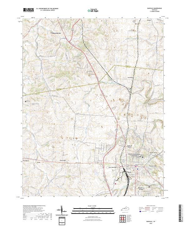 2022 Danville2022 Print · USGSCentral Kentucky's college town and county seat are captured in the early 2020s, showing the modern footprint of Danville and Harrodsburg. Researchers can trace local lineages at Bellevue Cem or locate the historic grounds of Centre College.
 - 2022 Map of Harrodsburg, 2022 Print
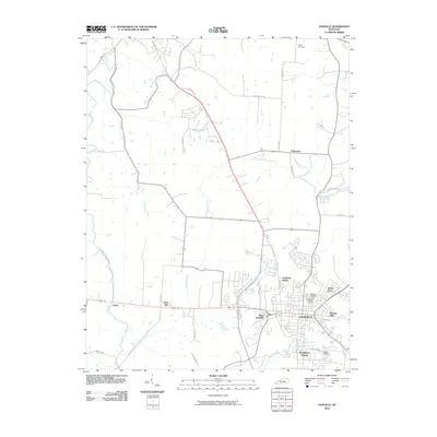
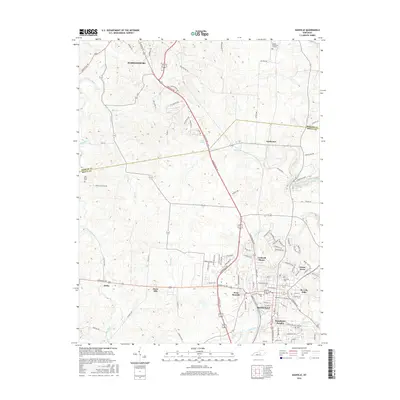
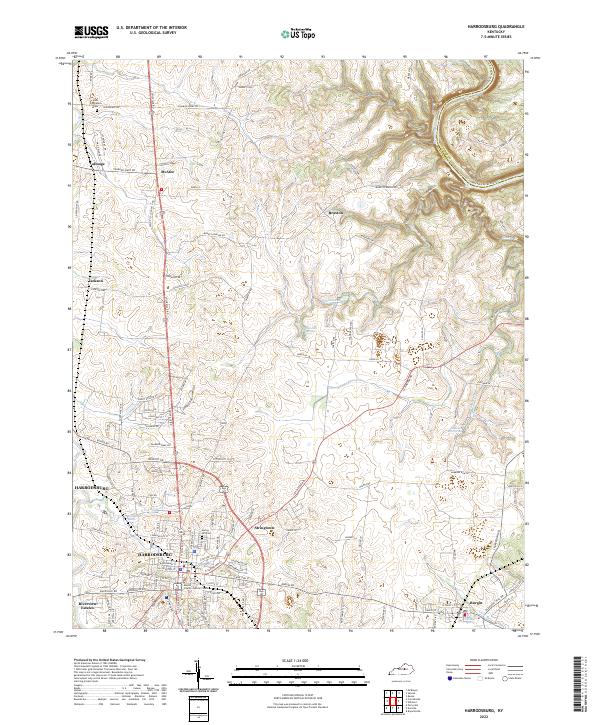 2022 Harrodsburg2022 Print · USGSHarrodsburg and the Mercer County landscape are documented here in the early 2020s, showing the intersection of historic bluegrass estates and modern civic growth. Genealogists can locate family landmarks and burial sites like Spring Hill Cem or the community of McAfee.
 - 2022 Map of Cornishville, 2022 Print
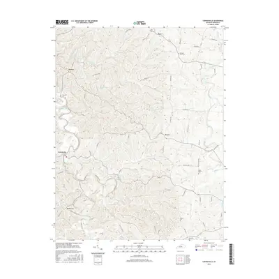
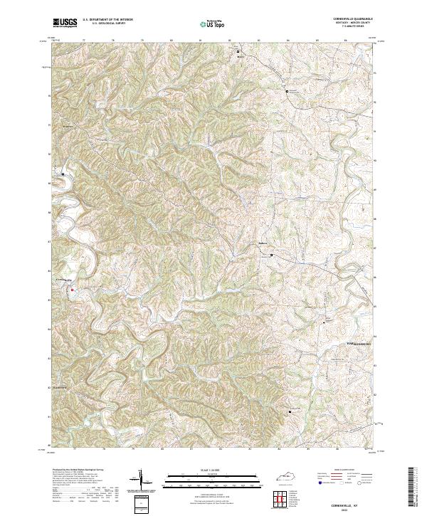 2022 Cornishville2022 Print · USGSMercer County's rural heartland is meticulously detailed here in the early twenty-first century. Researchers can trace ancestral sites through several local landmarks including Grapevine Cem, Hopewell Church Cem, and the settlement of Cornishville.
End of results
Showing maps 1-15 of 15
Top cities near Harrodsburg
- Lexington historical maps
- Nicholasville historical maps
- Danville historical maps
- Wilmore historical maps
- Stanford historical maps
- Junction City historical maps
See more
Frequently asked questions
- What are the different types of historical maps available for Harrodsburg?
- What is the oldest map of Harrodsburg?
- Where can I purchase historical maps of Harrodsburg for my home or office?
- Where can I download high-res historical maps of Harrodsburg?
- Are there historical topographic maps available for Harrodsburg?
- Is there historical aerial imagery available for Harrodsburg?
- Where are historical maps of Harrodsburg sourced from?