2000s (21st Century) Maps of Metcalfe County, Kentucky
Explore 60 historic maps of Metcalfe County from the 2000s (21st Century). These maps offer a rare glimpse into what life looked like during the 2000s — showing old roads, neighborhoods, homes, and landmarks that have changed or disappeared over time.
Whether you're researching your family's past, planning a metal detecting trip, or studying how Metcalfe County's landscape evolved across the 2000s, these high-resolution maps are a powerful tool for exploring the history of this region.
- Focus on a specific era: All maps on this page are from the 2000s, giving you a focused view of this time period.
- See what’s changed: Compare century-old streets, trails, and buildings to today's modern landscape using overlays and satellite layers.
- Research with precision: Use these maps for genealogy, historical research, land use analysis, or educational projects.
- View, download, or print: Maps are fully viewable online in high resolution, and can be downloaded or printed for your own records.
Start exploring Metcalfe County's history through authentic maps from the 2000s. This is your window into the past.
Metcalfe County, KY maps
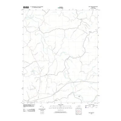
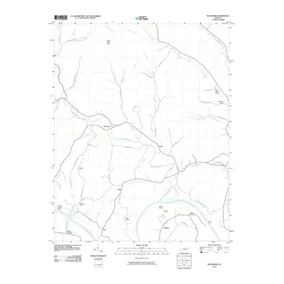
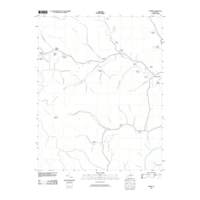
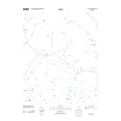
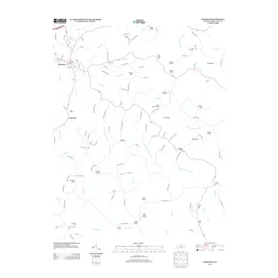
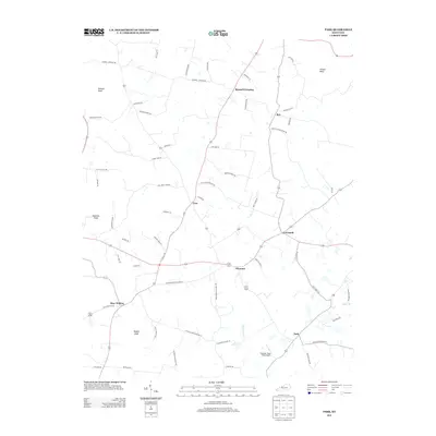
(60)- 2010 Map of Center, 2010 Print
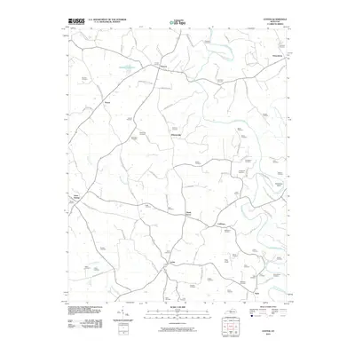 2010 Center2010 Print · USGSCovers Metcalfe County, including Shady Grove, Three Springs, and other nearby areas
 - 2010 Map of Gradyville, 2010 Print
 2010 Gradyville2010 Print · USGSCovers Metcalfe County, including Milltown, Sparksville, and other nearby areas
 - 2010 Map of Sulphur Well, 2010 Print
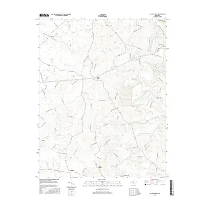
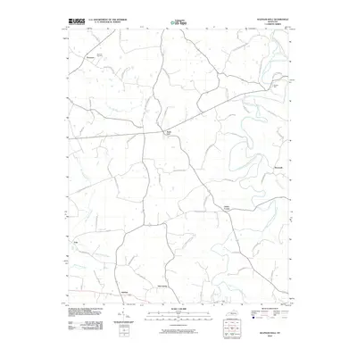 2010 Sulphur Well2010 Print · USGSCovers Metcalfe County, including Echo, Clarks Corner, and other nearby areas
 - 2010 Map of Summer Shade, 2010 Print
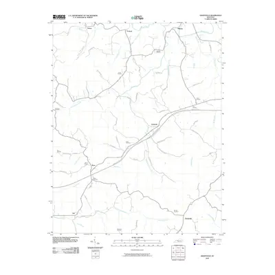
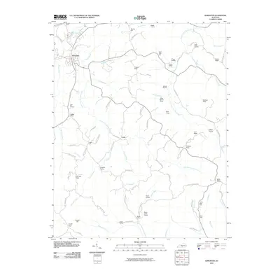
 2010 Summer Shade2010 Print · USGSCovers Metcalfe County, including Edmonton, Summer Shade, and other nearby areas
 - 2010 Map of East Fork, 2010 Print
 2010 East Fork2010 Print · USGSCovers Metcalfe County, including Edmonton, East Fork, and other nearby areas
 - 2010 Map of Park, 2010 Print
 2010 Park2010 Print · USGSCovers Metcalfe County, including Seymour, Bear Wallow, and other nearby areas
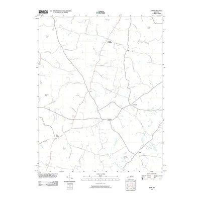
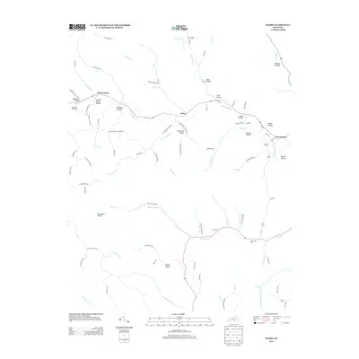
 - 2010 Map of Hiseville, 2010 Print
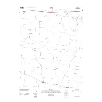
 2010 Hiseville2010 Print · USGSCovers Metcalfe County, including Griderville, Slick Rock, and other nearby areas
 - 2010 Map of Edmonton, 2010 Print
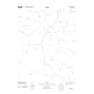
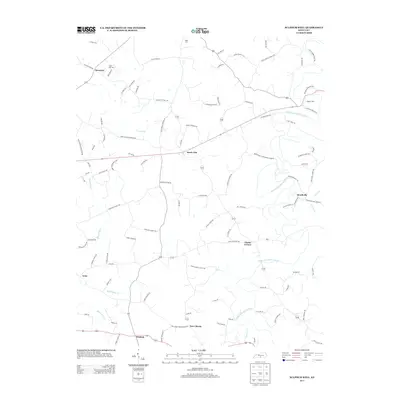
 2010 Edmonton2010 Print · USGSCovers Metcalfe County, including Edmonton, Curtis, and other nearby areas
 - 2010 Map of Waterview, 2010 Print
 2010 Waterview2010 Print · USGSCovers Metcalfe County, including Burkesville, Leslie, and other nearby areas
 - 2010 Map of Sulphur Lick, 2010 Print
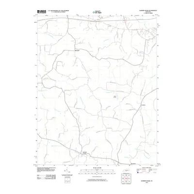
 2010 Sulphur Lick2010 Print · USGSCovers Metcalfe County, including Cyclone, Rockbridge, and other nearby areas
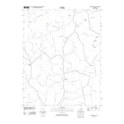
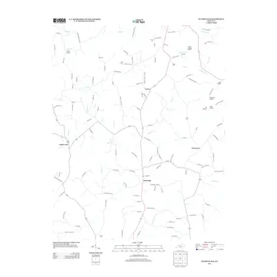
 - 2010 Map of Breeding, 2010 Print
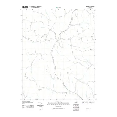 2010 Breeding2010 Print · USGSCovers Metcalfe County, including Cofer, Toria, and other nearby areas
 - 2010 Map of Dubre, 2010 Print
 2010 Dubre2010 Print · USGSCovers Metcalfe County, including Willow Shade, Dubre, and other nearby areas
 - 2013 Map of Waterview, 2013 Print
 2013 Waterview2013 Print · USGSCovers Metcalfe County, including Burkesville, Leslie, and other nearby areas
 - 2013 Map of Breeding, 2013 Print
 2013 Breeding2013 Print · USGSCovers Metcalfe County, including Cofer, Toria, and other nearby areas
 - 2013 Map of Dubre, 2013 Print
 2013 Dubre2013 Print · USGSCovers Metcalfe County, including Willow Shade, Dubre, and other nearby areas
 - 2013 Map of Sulphur Lick, 2013 Print
 2013 Sulphur Lick2013 Print · USGSCovers Metcalfe County, including Cyclone, Rockbridge, and other nearby areas
 - 2013 Map of Edmonton, 2013 Print
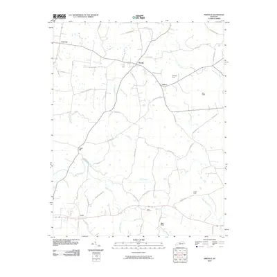
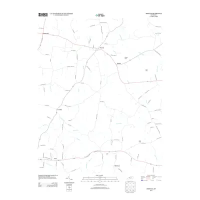
 2013 Edmonton2013 Print · USGSCovers Metcalfe County, including Edmonton, Curtis, and other nearby areas
 - 2013 Map of Summer Shade, 2013 Print
 2013 Summer Shade2013 Print · USGSCovers Metcalfe County, including Edmonton, Summer Shade, and other nearby areas
 - 2013 Map of Sulphur Well, 2013 Print
 2013 Sulphur Well2013 Print · USGSCovers Metcalfe County, including Echo, Clarks Corner, and other nearby areas
 - 2013 Map of Hiseville, 2013 Print
 2013 Hiseville2013 Print · USGSCovers Metcalfe County, including Griderville, Slick Rock, and other nearby areas
 - 2013 Map of Park, 2013 Print
 2013 Park2013 Print · USGSCovers Metcalfe County, including Seymour, Bear Wallow, and other nearby areas
 - 2013 Map of Center, 2013 Print
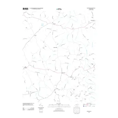 2013 Center2013 Print · USGSCovers Metcalfe County, including Shady Grove, Three Springs, and other nearby areas
 - 2013 Map of Gradyville, 2013 Print
 2013 Gradyville2013 Print · USGSCovers Metcalfe County, including Milltown, Sparksville, and other nearby areas
 - 2013 Map of East Fork, 2013 Print
 2013 East Fork2013 Print · USGSCovers Metcalfe County, including Edmonton, East Fork, and other nearby areas
 - 2016 Map of Sulphur Well, 2016 Print
 2016 Sulphur Well2016 Print · USGSCovers Metcalfe County, including Echo, Clarks Corner, and other nearby areas
Showing maps 1-25 of 60
Top cities of Metcalfe County
Frequently asked questions
- What are the different types of historical maps available for Metcalfe County?
- What is the oldest map of Metcalfe County?
- Where can I purchase historical maps of Metcalfe County for my home or office?
- Where can I download high-res historical maps of Metcalfe County?
- Are there historical topographic maps available for Metcalfe County?
- Is there historical aerial imagery available for Metcalfe County?
- Where are historical maps of Metcalfe County sourced from?