2010s Maps of Metcalfe County, Kentucky
Explore 48 historic maps of Metcalfe County from the 2010s. These maps offer a rare glimpse into what life looked like during the 2010s — showing old roads, neighborhoods, homes, and landmarks that have changed or disappeared over time.
Whether you're researching your family's past, planning a metal detecting trip, or studying how Metcalfe County's landscape evolved across the 2010s, these high-resolution maps are a powerful tool for exploring the history of this region.
- Focus on a specific era: All maps on this page are from the 2010s, giving you a focused view of this time period.
- See what’s changed: Compare century-old streets, trails, and buildings to today's modern landscape using overlays and satellite layers.
- Research with precision: Use these maps for genealogy, historical research, land use analysis, or educational projects.
- View, download, or print: Maps are fully viewable online in high resolution, and can be downloaded or printed for your own records.
Start exploring Metcalfe County's history through authentic maps from the 2010s. This is your window into the past.
Metcalfe County, KY maps
(48)- 2010 Map of Center, 2010 Print
 2010 Center2010 Print · USGSCentral Kentucky's rural landscape is captured here in the early twenty-first century, showing a network of historic family-named cemeteries and crossroads. Researchers can locate ancestral sites like Sydnor Cemetery and Franklin Cemetery or trace the Little Barren River to the Horseshoe Bend.
 - 2010 Map of Gradyville, 2010 Print
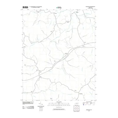 2010 Gradyville2010 Print · USGSAdair County at the turn of the 21st century remains a landscape of quiet creek-side hamlets and family farmsteads. Genealogists can trace local lineages through a high density of rural burial grounds, such as Dohoney Cemetery, Weed Cemetery, and Wheeler Cemetery.
 - 2010 Map of Sulphur Well, 2010 Print
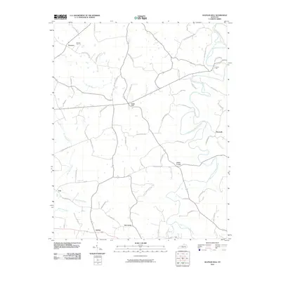 2010 Sulphur Well2010 Print · USGSMetcalfe County's rural hamlets and family-named roads are preserved here in the early twenty-first century. Genealogists can locate family landmarks like Buck Hill Cemetery and trace historical connections in settlements such as Sulphur Well and Knob Lick.
 - 2010 Map of Summer Shade, 2010 Print
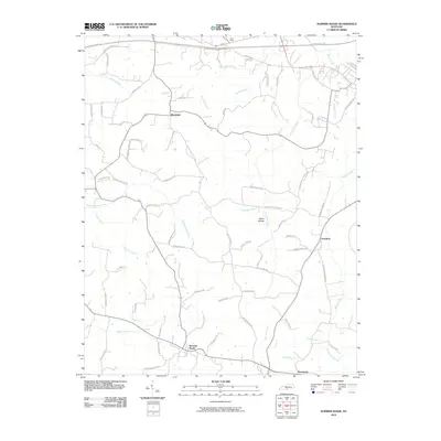 2010 Summer Shade2010 Print · USGSIn this 2010 survey of southern Kentucky, the landscape around Summer Shade reveals a deeply rooted rural community shaped by its waterways. Genealogists and local historians can trace family land via named landmarks like Miner Hollow and historic routes such as Old Randolph School Rd.
 - 2010 Map of East Fork, 2010 Print
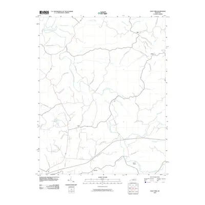 2010 East Fork2010 Print · USGSMetcalfe County's rural communities and river valleys are captured here at the start of the decade, showing a landscape shaped by the East Fork Little Barren River. Researchers can trace local lineage through family-named routes like Will Davis Rd and locate the historic crossroads of Mell and Cork.
 - 2010 Map of Park, 2010 Print
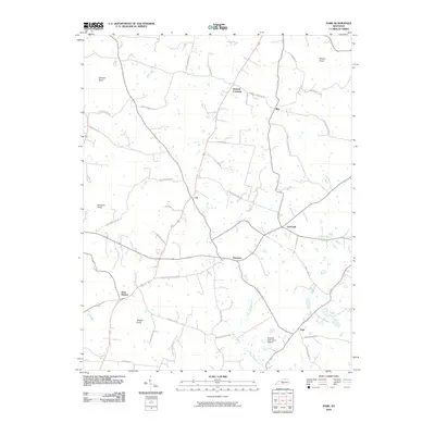 2010 Park2010 Print · USGSHart County's rural crossroads and prominent knobs are documented here in the early twenty-first century. Researchers can trace family history through numerous named routes like Liberty Schoolhouse Rd or explore the geography of Uno and Bear Wallow.
 - 2010 Map of Hiseville, 2010 Print
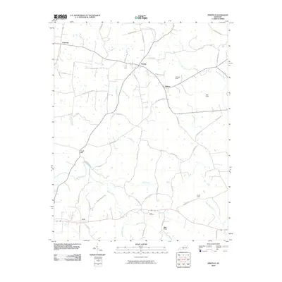 2010 Hiseville2010 Print · USGSBarren County in the early twenty-first century reveals a landscape of enduring rural crossroads and family homesteads. Researchers can locate historic burial grounds like Arnett Cemetery and trace old mill routes near Hiseville, Coral Hill, and Griderville.
 - 2010 Map of Edmonton, 2010 Print
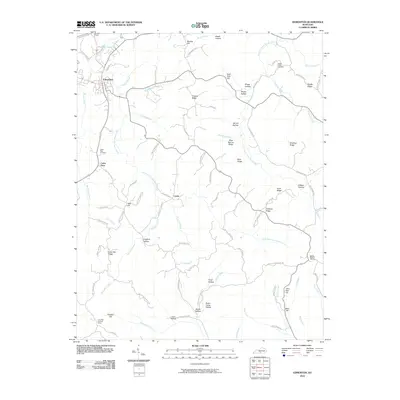 2010 Edmonton2010 Print · USGSThe rural uplands of Metcalfe County come into focus during this period of the twenty-first century, centered on the hub of Edmonton. Genealogists and local historians can trace family land via Mosby Ridge Cemetery, the Lone Star Lookout Tower, and small settlements like Curtis.
 - 2010 Map of Waterview, 2010 Print
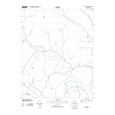 2010 Waterview2010 Print · USGSCumberland County, Kentucky, at the start of the 2010s reveals a traditional landscape shaped by the winding Cumberland River. Researchers can trace family roots through several local burial grounds like Branham Cemetery and locate historical river crossings at Cloyds Landing and Oliver Ferry.
 - 2010 Map of Sulphur Lick, 2010 Print
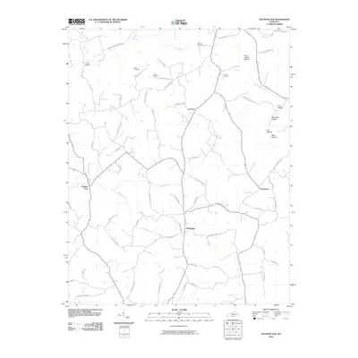 2010 Sulphur Lick2010 Print · USGSMonroe County, Kentucky, in the early twenty-first century remains a landscape of deep hollows and family-run homesteads. Genealogists and local historians can trace legacy sites like Wade Cemetery, the community of Sulphur Lick, and Peckerwood Ridge.
 - 2010 Map of Breeding, 2010 Print
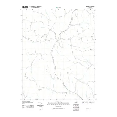 2010 Breeding2010 Print · USGSSouthern Metcalfe County is captured here in the early twenty-first century, showing a landscape of ridge-top roads and deep creek valleys. Genealogists can locate family landmarks like Jessee Cemetery and trace local routes near Breeding and Toria.
 - 2010 Map of Dubre, 2010 Print
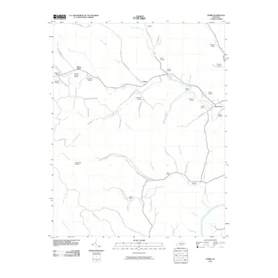 2010 Dubre2010 Print · USGSMetcalfe County's rural character is preserved in this 2010 survey of the hollows and ridge lines surrounding Willow Shade. Family historians can locate remote landmarks such as Stillhouse Hollow, Hickory Ridge, and the Mud Camp Cemetery.
 - 2013 Map of Waterview, 2013 Print
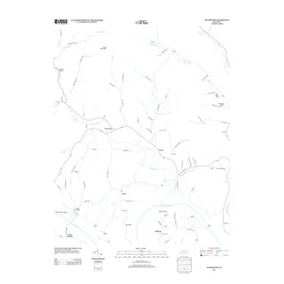 2013 Waterview2013 Print · USGSCumberland County, Kentucky, is seen here in the early twenty-first century as a landscape defined by the winding Cumberland River and its rural settlements. Researchers can trace old river crossings and family histories at Oliver Ferry, Cloyds Landing, and Ellington Cem.
 - 2013 Map of Breeding, 2013 Print
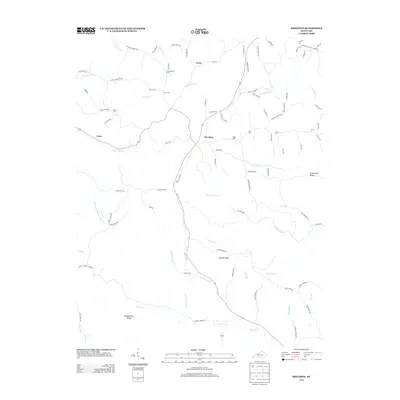 2013 Breeding2013 Print · USGSMetcalfe County's rural communities and family homesteads are preserved in this detailed early twenty-first-century survey. Genealogists and local historians can trace legacy landholdings and burial sites like Jessee Cem and the settlement of Breeding.
 - 2013 Map of Dubre, 2013 Print
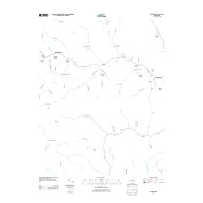 2013 Dubre2013 Print · USGSThe rural Kentucky communities of Willow Shade and Dubre are captured here in the early twenty-first century amidst a landscape of deep hollows and ridges. Genealogists can trace family footprints through sites like Mud Camp Cem, Stillhouse Hollow, and the Cumberland River corridor.
 - 2013 Map of Sulphur Lick, 2013 Print
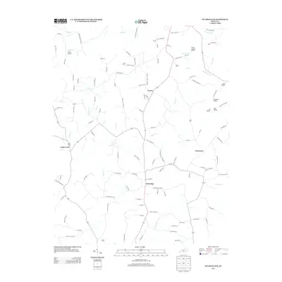 2013 Sulphur Lick2013 Print · USGSMonroe County, Kentucky, is captured here in the early twenty-first century, showing a landscape defined by creeks and family hollows. Genealogists and local historians can locate legacy sites like Dubre Cem and the small settlements of Cyclone and Persimmon.
 - 2013 Map of Edmonton, 2013 Print
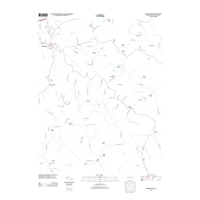 2013 Edmonton2013 Print · USGSMetcalfe County in the early twenty-first century is a landscape of winding river forks and named ridges. Genealogists and local historians can trace family land and rural landmarks like Cedar Flats Cem, the Lone Star Lookout Tower, and the settlement of Curtis.
 - 2013 Map of Summer Shade, 2013 Print
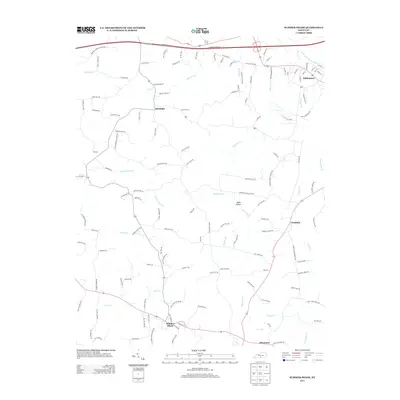 2013 Summer Shade2013 Print · USGSMetcalfe County's agricultural and river landscape is captured here in the early twenty-first century. Researchers can trace family-named roads and rural communities like Summer Shade, Randolph, and the county seat of Edmonton.
 - 2013 Map of Sulphur Well, 2013 Print
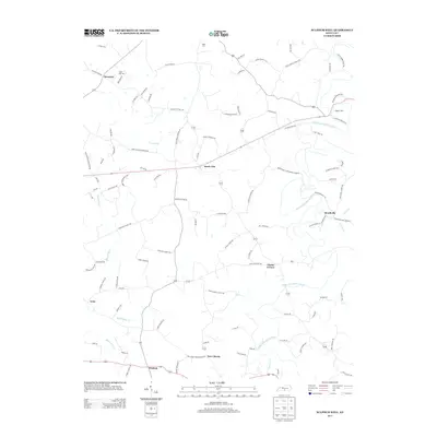 2013 Sulphur Well2013 Print · USGSMetcalfe County's rural landscapes are captured here in the early twenty-first century, showing the enduring character of its small settlements. Genealogists can trace family locations along Ratliff Mitchell Rd or near Nunn Cem and Buck Hill Cem.
 - 2013 Map of Hiseville, 2013 Print
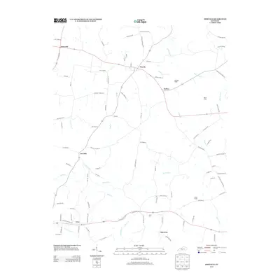 2013 Hiseville2013 Print · USGSBarren County's rural communities and drainage patterns are detailed in this survey from the early 2010s. Local historians and genealogists can trace property access via Jack Turner Rd or locate family sites near Arnett Cem and the community of Slick Rock.
 - 2013 Map of Park, 2013 Print
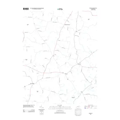 2013 Park2013 Print · USGSHart County at the start of the 2010s reveals a landscape of dispersed agricultural settlements and prominent knobs. Genealogists and local historians can trace family-named roads and rural centers like Bear Wallow, Seymour, and Bunnell Crossing.
 - 2013 Map of Center, 2013 Print
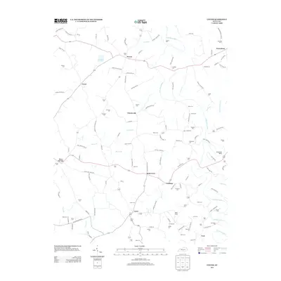 2013 Center2013 Print · USGSIn the early twenty-first century, this part of Metcalfe County remained a landscape of scattered rural hamlets and deep family roots. Genealogists can trace local history through dozens of named burial sites like Sandidge Cem or Kidd Cem and landmarks such as Pilot Knob.
 - 2013 Map of Gradyville, 2013 Print
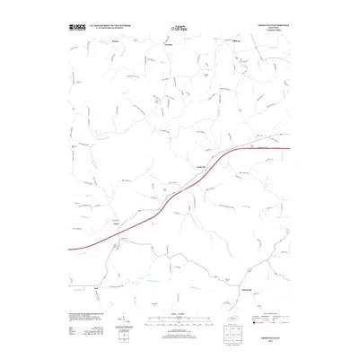 2013 Gradyville2013 Print · USGSAdair County, Kentucky, is shown here in the early twenty-first century as a land of creek-bottom settlements and family-named homesteads. Local historians can trace the geography of communities like Gradyville and Milltown or locate rural burial sites such as Rowetown Cem and Stapp Cem.
 - 2013 Map of East Fork, 2013 Print
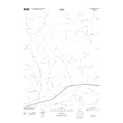 2013 East Fork2013 Print · USGSMetcalfe County's rural heartland is mapped here in the early 2000s, showing a landscape shaped by the E Fork Little Barren River. Researchers can trace old family routes and small hubs like Mell, Keltner, and the school and church roads that connect them.
 - 2016 Map of Sulphur Well, 2016 Print
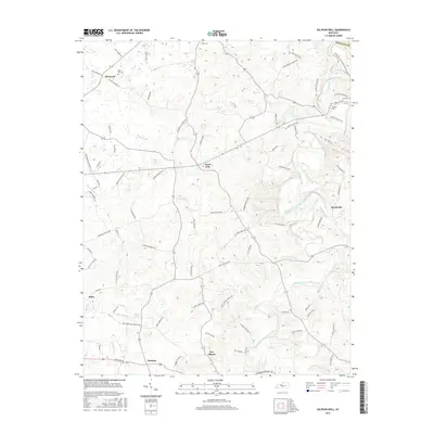 2016 Sulphur Well2016 Print · USGSMetcalfe County's rural communities and river valleys are captured here during the mid-2010s. Researchers can trace family-named roads to historic sites like Buck Hill Cem and local landmarks like Big Blue Spring or the hamlet of Knob Lick.
Showing maps 1-25 of 48
Top cities of Metcalfe County
Frequently asked questions
- What are the different types of historical maps available for Metcalfe County?
- What is the oldest map of Metcalfe County?
- Where can I purchase historical maps of Metcalfe County for my home or office?
- Where can I download high-res historical maps of Metcalfe County?
- Are there historical topographic maps available for Metcalfe County?
- Is there historical aerial imagery available for Metcalfe County?
- Where are historical maps of Metcalfe County sourced from?