2000s (21st Century) Maps of Nicholas County, Kentucky
Explore 45 historic maps of Nicholas County from the 2000s (21st Century). These maps offer a rare glimpse into what life looked like during the 2000s — showing old roads, neighborhoods, homes, and landmarks that have changed or disappeared over time.
Whether you're researching your family's past, planning a metal detecting trip, or studying how Nicholas County's landscape evolved across the 2000s, these high-resolution maps are a powerful tool for exploring the history of this region.
- Focus on a specific era: All maps on this page are from the 2000s, giving you a focused view of this time period.
- See what’s changed: Compare century-old streets, trails, and buildings to today's modern landscape using overlays and satellite layers.
- Research with precision: Use these maps for genealogy, historical research, land use analysis, or educational projects.
- View, download, or print: Maps are fully viewable online in high resolution, and can be downloaded or printed for your own records.
Start exploring Nicholas County's history through authentic maps from the 2000s. This is your window into the past.
Nicholas County, KY maps
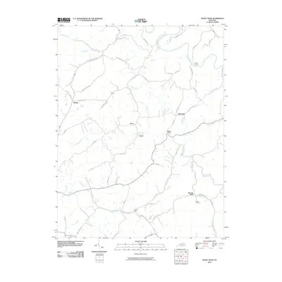
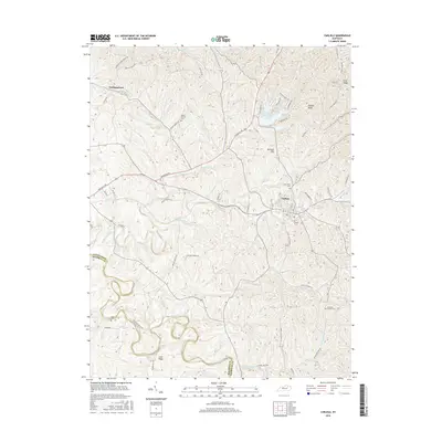
(45)- 2010 Map of Cowan, 2010 Print
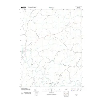 2010 Cowan2010 Print · USGSCovers Nicholas County, including Blue Licks, Fairview, and other nearby areas
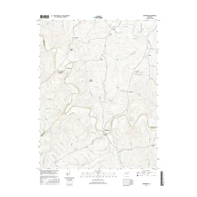
 - 2010 Map of North Middletown, 2010 Print
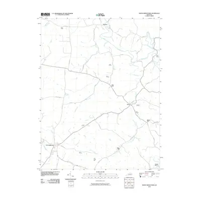 2010 North Middletown2010 Print · USGSCovers Nicholas County, including North Middletown, Jackstown, and other nearby areas
 - 2010 Map of Millersburg, 2010 Print
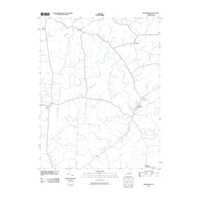 2010 Millersburg2010 Print · USGSCovers Nicholas County, including Millersburg, Blacks Crossroads, and other nearby areas
 - 2010 Map of Piqua, 2010 Print
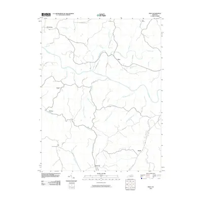 2010 Piqua2010 Print · USGSCovers Nicholas County, including Barterville, Kentontown, and other nearby areas
 - 2010 Map of Moorefield, 2010 Print
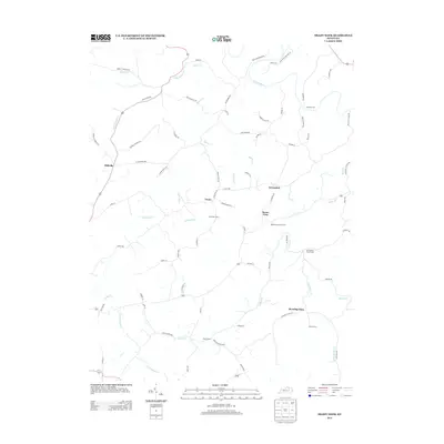
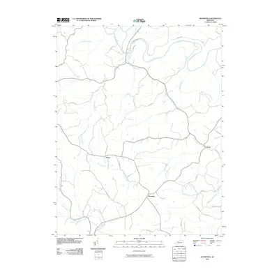 2010 Moorefield2010 Print · USGSCovers Nicholas County, including Sprout, Weston, and other nearby areas
 - 2010 Map of Carlisle, 2010 Print
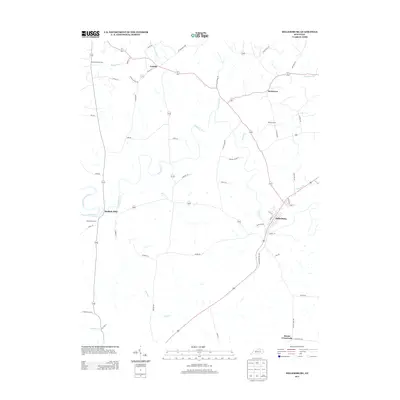
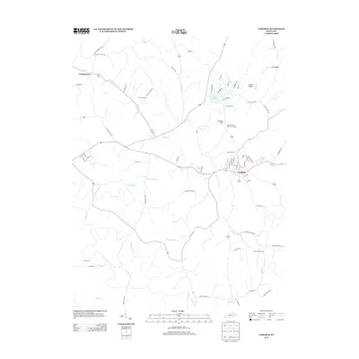
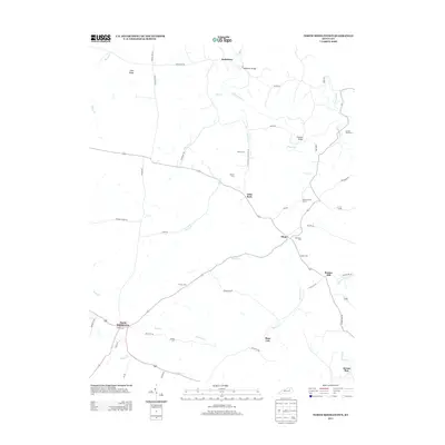
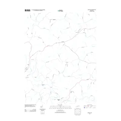
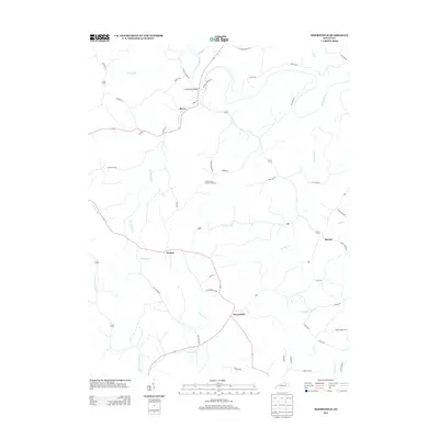
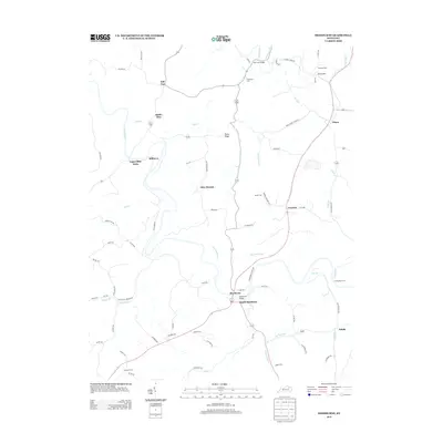
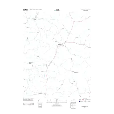
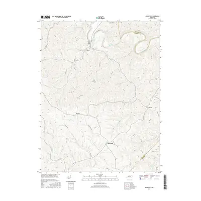
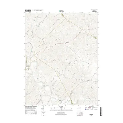
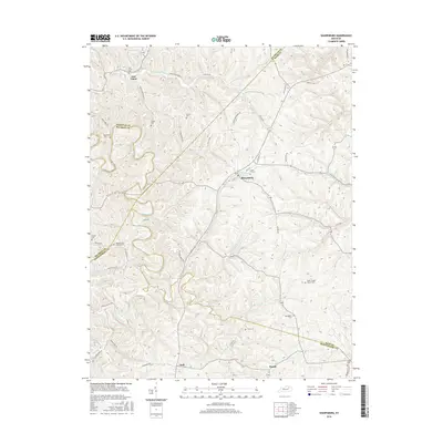
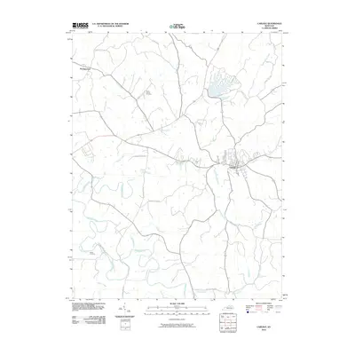 2010 Carlisle2010 Print · USGSCovers Nicholas County, including Carlisle, Headquarters, and other nearby areas
 - 2010 Map of Sharpsburg, 2010 Print
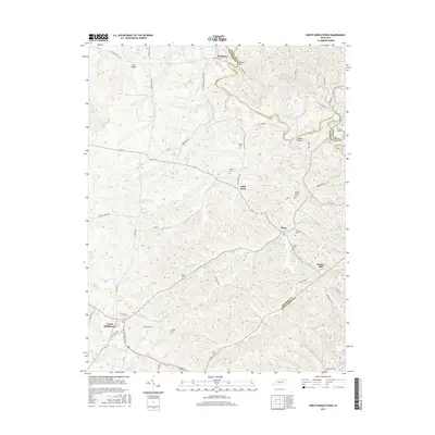
 2010 Sharpsburg2010 Print · USGSCovers Nicholas County, including Sharpsburg, Stoops, and other nearby areas
 - 2010 Map of Sherburne, 2010 Print
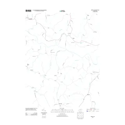
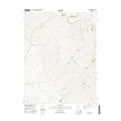
 2010 Sherburne2010 Print · USGSCovers Nicholas County, including Upper Blue Licks, Battle Run, and other nearby areas
 - 2010 Map of Shady Nook, 2010 Print
 2010 Shady Nook2010 Print · USGSCovers Nicholas County, including Oddville, Morning Glory, and other nearby areas
 - 2013 Map of Shady Nook, 2013 Print
 2013 Shady Nook2013 Print · USGSCovers Nicholas County, including Oddville, Morning Glory, and other nearby areas
 - 2013 Map of Millersburg, 2013 Print
 2013 Millersburg2013 Print · USGSCovers Nicholas County, including Millersburg, Blacks Crossroads, and other nearby areas
 - 2013 Map of Piqua, 2013 Print
 2013 Piqua2013 Print · USGSCovers Nicholas County, including Barterville, Kentontown, and other nearby areas
 - 2013 Map of Carlisle, 2013 Print
 2013 Carlisle2013 Print · USGSCovers Nicholas County, including Carlisle, Headquarters, and other nearby areas
 - 2013 Map of North Middletown, 2013 Print
 2013 North Middletown2013 Print · USGSCovers Nicholas County, including North Middletown, Jackstown, and other nearby areas
 - 2013 Map of Cowan, 2013 Print
 2013 Cowan2013 Print · USGSCovers Nicholas County, including Blue Licks, Fairview, and other nearby areas
 - 2013 Map of Moorefield, 2013 Print
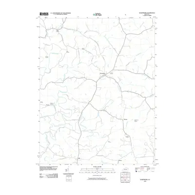
 2013 Moorefield2013 Print · USGSCovers Nicholas County, including Sprout, Weston, and other nearby areas
 - 2013 Map of Sherburne, 2013 Print
 2013 Sherburne2013 Print · USGSCovers Nicholas County, including Upper Blue Licks, Battle Run, and other nearby areas
 - 2013 Map of Sharpsburg, 2013 Print
 2013 Sharpsburg2013 Print · USGSCovers Nicholas County, including Sharpsburg, Stoops, and other nearby areas
 - 2016 Map of Moorefield, 2016 Print
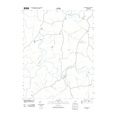
 2016 Moorefield2016 Print · USGSCovers Nicholas County, including Sprout, Weston, and other nearby areas
 - 2016 Map of Cowan, 2016 Print
 2016 Cowan2016 Print · USGSCovers Nicholas County, including Blue Licks, Fairview, and other nearby areas
 - 2016 Map of Sharpsburg, 2016 Print
 2016 Sharpsburg2016 Print · USGSCovers Nicholas County, including Sharpsburg, Stoops, and other nearby areas
 - 2016 Map of Sherburne, 2016 Print
 2016 Sherburne2016 Print · USGSCovers Nicholas County, including Upper Blue Licks, Battle Run, and other nearby areas
 - 2016 Map of Shady Nook, 2016 Print
 2016 Shady Nook2016 Print · USGSCovers Nicholas County, including Oddville, Morning Glory, and other nearby areas
 - 2016 Map of North Middletown, 2016 Print
 2016 North Middletown2016 Print · USGSCovers Nicholas County, including North Middletown, Jackstown, and other nearby areas
 - 2016 Map of Carlisle, 2016 Print
 2016 Carlisle2016 Print · USGSCovers Nicholas County, including Carlisle, Headquarters, and other nearby areas
Showing maps 1-25 of 45
Top cities of Nicholas County
Frequently asked questions
- What are the different types of historical maps available for Nicholas County?
- What is the oldest map of Nicholas County?
- Where can I purchase historical maps of Nicholas County for my home or office?
- Where can I download high-res historical maps of Nicholas County?
- Are there historical topographic maps available for Nicholas County?
- Is there historical aerial imagery available for Nicholas County?
- Where are historical maps of Nicholas County sourced from?