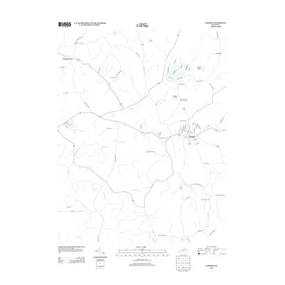
2013 Map of Carlisle
USGS Topo · Published 2013About this map
The city of Carlisle serves as the focal point of this 2013 Nicholas County study, situated at the confluence of several regional roads and the Brushy Fork waterway. This modern topographic view illustrates the transition between the urban street grid of the city and the surrounding agricultural uplands. Notable family and historical landmarks include Mt Carmel Cem and Henryville Cem, which offer significant value for genealogical research in this part of Kentucky.
Find a feature on this map
73 named features on this map. Tap any name to fly to it.
Don’t see what you’re looking for? This feature index may not catch every label — zoom into the map to look around manually.
Map Details
Editions of this 2013 Carlisle Map
This is the sole edition of this map. No revisions or reprints were ever made.
Other maps of this area

1952 · Cowan
USGS Topo · 1:24,000

1952 · Sharpsburg
USGS Topo · 1:24,000

1952 · Paris East
USGS Topo · 1:24,000

1952 · North Middletown
USGS Topo · 1:24,000

1952 · Piqua
USGS Topo · 1:24,000

1952 · Shady Nook
USGS Topo · 1:24,000

1953 · Carlisle
USGS Topo · 1:24,000

1953 · Moorefield
USGS Topo · 1:24,000

1953 · Millersburg
USGS Topo · 1:24,000

1956 · Louisville
USGS Topo · 1:250,000