1900s (20th Century) Maps of Owen County, Kentucky
Explore 28 historic maps of Owen County from the 1900s (20th Century). These maps offer a rare glimpse into what life looked like during the 1900s — showing old roads, neighborhoods, homes, and landmarks that have changed or disappeared over time.
Whether you're researching your family's past, planning a metal detecting trip, or studying how Owen County's landscape evolved across the 1900s, these high-resolution maps are a powerful tool for exploring the history of this region.
- Focus on a specific era: All maps on this page are from the 1900s, giving you a focused view of this time period.
- See what’s changed: Compare century-old streets, trails, and buildings to today's modern landscape using overlays and satellite layers.
- Research with precision: Use these maps for genealogy, historical research, land use analysis, or educational projects.
- View, download, or print: Maps are fully viewable online in high resolution, and can be downloaded or printed for your own records.
Start exploring Owen County's history through authentic maps from the 1900s. This is your window into the past.
Owen County, KY maps
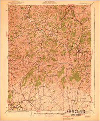
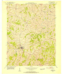
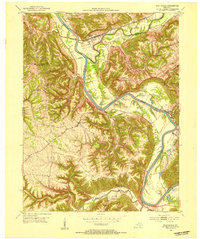
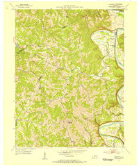
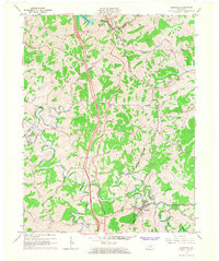
(28)- 1906 Map of Lockport
 1906 Lockport1906 Print · USGSCovers Owen County, including Monterey, Gratz, and other nearby areas2 unique versions available
 - 1908 Map of Lockport
 1908 Lockport1908 Print · USGSCovers Owen County, including Monterey, Gratz, and other nearby areas3 unique versions available
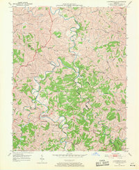
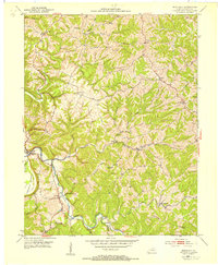
 - 1939 Map of Sadieville
 1939 Sadieville1939 Print · USGSCovers Owen County, including Georgetown, Stamping Ground, and other nearby areas2 unique versions available
 - 1943 Map of Vevay South
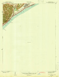 1943 Vevay South1943 Print · USGSCovers Owen County, including Vevay, Ghent, and other nearby areas
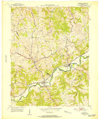
 - 1950 Map of New Liberty, 1952 Print
 1950 New Liberty1952 Print · USGSCovers Owen County, including New Liberty, Wheatley, and other nearby areas4 unique versions available
 - 1950 Map of Glencoe, 1952 Print
 1950 Glencoe1952 Print · USGSCovers Owen County, including Glencoe, Eagle Hill, and other nearby areas2 unique versions available
 - 1950 Map of Owenton, 1952 Print
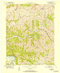
 1950 Owenton1952 Print · USGSCovers Owen County, including Owenton, Sweet Owen, and other nearby areas4 unique versions available
 - 1950 Map of Lawrenceville, 1970 Print
 1950 Lawrenceville1970 Print · USGSCovers Owen County, including Lawrenceville, Holiday Ford, and other nearby areas
 - 1951 Map of Sanders, 1953 Print
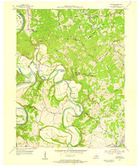
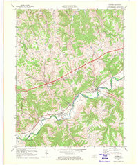
 1951 Sanders1953 Print · USGSCovers Owen County, including Sanders, Carson, and other nearby areas
 - 1952 Map of Vevay South, 1954 Print
 1952 Vevay South1954 Print · USGSCovers Owen County, including Vevay, Ghent, and other nearby areas2 unique versions available
 - 1952 Map of Worthville, 1954 Print
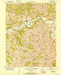
 1952 Worthville1954 Print · USGSCovers Owen County, including Worthville, Moxley, and other nearby areas3 unique versions available
 - 1953 Map of Monterey, 1954 Print
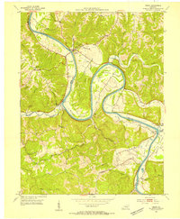
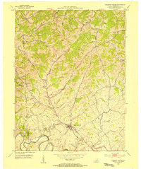
 1953 Monterey1954 Print · USGSCovers Owen County, including Monterey, Ep, and other nearby areas3 unique versions available
 - 1953 Map of Gratz, 1954 Print
 1953 Gratz1954 Print · USGSCovers Owen County, including Monterey, Gratz, and other nearby areas3 unique versions available
 - 1953 Map of Sadieville, 1954 Print
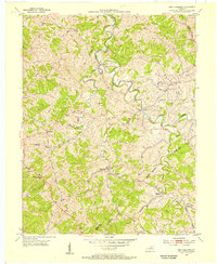
 1953 Sadieville1954 Print · USGSCovers Owen County, including Sadieville, Corinth, and other nearby areas
 - 1953 Map of Polsgrove, 1955 Print
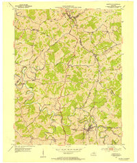
 1953 Polsgrove1955 Print · USGSCovers Owen County, including Polsgrove, Flag Fork, and other nearby areas4 unique versions available
 - 1953 Map of Stamping Ground, 1955 Print
 1953 Stamping Ground1955 Print · USGSCovers Owen County, including Stamping Ground, Minorsville, and other nearby areas3 unique versions available
 - 1953 Map of New Columbus, 1955 Print
 1953 New Columbus1955 Print · USGSCovers Owen County, including Natlee, Rockdale, and other nearby areas3 unique versions available
 - 1954 Map of Switzer, 1955 Print
 1954 Switzer1955 Print · USGSCovers Owen County, including Swallowfield, Peaks Mill, and other nearby areas4 unique versions available
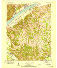
 - 1956 Map of Louisville, 1971 Print
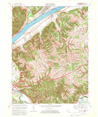
 1956 Louisville1971 Print · USGSCovers Owen County, including Louisville, Lexington, and other nearby areas2 unique versions available
 - 1964 Map of Louisville
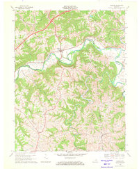
 1964 Louisville1964 Print · USGSCovers Owen County, including Louisville, Lexington, and other nearby areas
 - 1965 Map of Sadieville, 1966 Print
 1965 Sadieville1966 Print · USGSCovers Owen County, including Sadieville, Corinth, and other nearby areas2 unique versions available
 - 1967 Map of Vevay South, 1969 Print
 1967 Vevay South1969 Print · USGSCovers Owen County, including Vevay, Ghent, and other nearby areas3 unique versions available
 - 1969 Map of Glencoe, 1971 Print
 1969 Glencoe1971 Print · USGSCovers Owen County, including Glencoe, Eagle Hill, and other nearby areas
 - 1969 Map of Sanders, 1972 Print
 1969 Sanders1972 Print · USGSCovers Owen County, including Sanders, Carson, and other nearby areas2 unique versions available
 - 1986 Map of Lexington
 1986 Lexington1986 Print · USGSCovers Owen County, including Lexington, Georgetown, and other nearby areas
Showing maps 1-25 of 28
Top cities of Owen County
Frequently asked questions
- What are the different types of historical maps available for Owen County?
- What is the oldest map of Owen County?
- Where can I purchase historical maps of Owen County for my home or office?
- Where can I download high-res historical maps of Owen County?
- Are there historical topographic maps available for Owen County?
- Is there historical aerial imagery available for Owen County?
- Where are historical maps of Owen County sourced from?