2000s (21st Century) Maps of Monterey, Kentucky
Explore 10 historic maps of Monterey from the 2000s (21st Century). These maps offer a rare glimpse into what life looked like during the 2000s — showing old roads, neighborhoods, homes, and landmarks that have changed or disappeared over time.
Whether you're researching your family's past, planning a metal detecting trip, or studying how Monterey's landscape evolved across the 2000s, these high-resolution maps are a powerful tool for exploring the history of this region.
- Focus on a specific era: All maps on this page are from the 2000s, giving you a focused view of this time period.
- See what’s changed: Compare century-old streets, trails, and buildings to today's modern landscape using overlays and satellite layers.
- Research with precision: Use these maps for genealogy, historical research, land use analysis, or educational projects.
- View, download, or print: Maps are fully viewable online in high resolution, and can be downloaded or printed for your own records.
Start exploring Monterey's history through authentic maps from the 2000s. This is your window into the past.
Monterey, KY maps
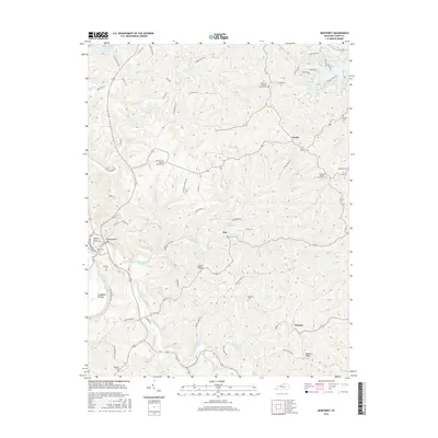
(10)- 2010 Map of Monterey, 2010 Print
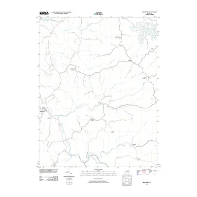 2010 Monterey2010 Print · USGSCovers Monterey, including Hesler, Ep, and other nearby areas
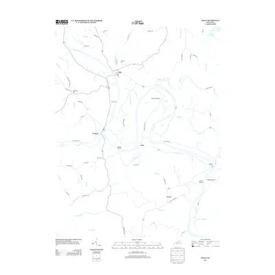
 - 2010 Map of Gratz, 2010 Print
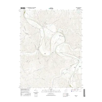
 2010 Gratz2010 Print · USGSCovers Monterey, including Gratz, Fallis, and other nearby areas
 - 2013 Map of Gratz, 2013 Print
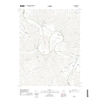
 2013 Gratz2013 Print · USGSCovers Monterey, including Gratz, Fallis, and other nearby areas
 - 2013 Map of Monterey, 2013 Print
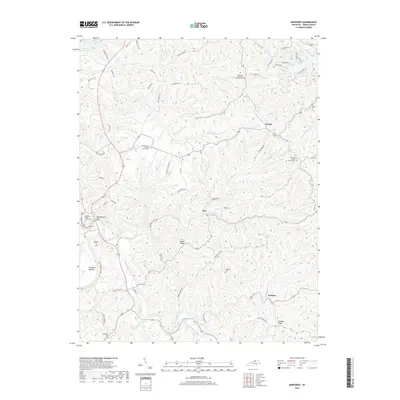
 2013 Monterey2013 Print · USGSCovers Monterey, including Hesler, Ep, and other nearby areas
 - 2016 Map of Monterey, 2016 Print
 2016 Monterey2016 Print · USGSCovers Monterey, including Hesler, Ep, and other nearby areas
 - 2016 Map of Gratz, 2016 Print
 2016 Gratz2016 Print · USGSCovers Monterey, including Gratz, Fallis, and other nearby areas
 - 2019 Map of Gratz, 2019 Print
 2019 Gratz2019 Print · USGSCovers Monterey, including Gratz, Fallis, and other nearby areas
 - 2019 Map of Monterey, 2019 Print
 2019 Monterey2019 Print · USGSCovers Monterey, including Hesler, Ep, and other nearby areas
 - 2022 Map of Gratz, 2022 Print
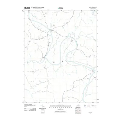
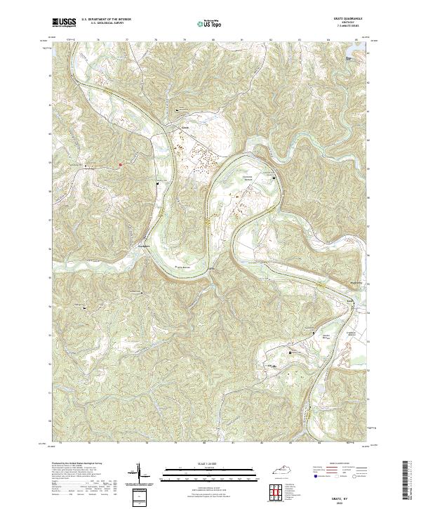 2022 Gratz2022 Print · USGSThe Kentucky River valley in Owen and Henry Counties remained a landscape of winding water and ridge-top roads into the early 2020s. Genealogists and historians can locate numerous family burial sites like Minish Cem and Wallace Cem near river towns like Lockport.
 - 2022 Map of Monterey, 2022 Print
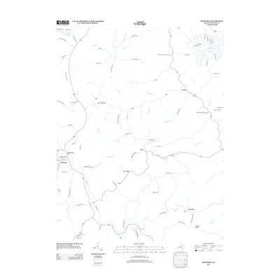
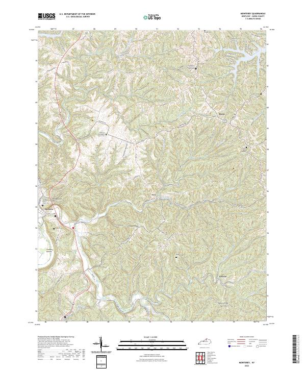 2022 Monterey2022 Print · USGSThe Kentucky River valley in Owen County remains a landscape of deep ridges and rural family nodes. Researchers can trace historic church sites and local burial grounds like Pauper Cem, Monterey Cem, and the El Bethel Christian Church Cem.
End of results
Showing maps 1-10 of 10
Top cities near Monterey
- Lexington historical maps
- Frankfort historical maps
- Owenton historical maps
- Stamping Ground historical maps
- Worthville historical maps
- Gratz historical maps
Frequently asked questions
- What are the different types of historical maps available for Monterey?
- What is the oldest map of Monterey?
- Where can I purchase historical maps of Monterey for my home or office?
- Where can I download high-res historical maps of Monterey?
- Are there historical topographic maps available for Monterey?
- Is there historical aerial imagery available for Monterey?
- Where are historical maps of Monterey sourced from?