Old Maps of Pointer, Kentucky for Genealogy
Trace your family roots with 9 historic maps of Pointer. These high-res maps reveal old neighborhoods, homesites, landmarks, and streets — helping you uncover where your ancestors lived and how the area evolved over time.
- Explore historic neighborhoods: Identify where your relatives may have lived in the 1800s or 1900s.
- Compare maps over time: Trace the changes in streets, buildings, and landmarks for multi-generational research.
- Perfect for genealogy & ancestry research: Used by family historians and researchers to map out lineage and migration.
These maps are an incredible resource for exploring your personal connection to Pointer's past.
Pointer, KY maps
(9)- 1953 Map of Mintonville, 1955 Print
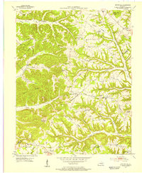 1953 Mintonville1955 Print · USGSThe Casey and Pulaski County line comes alive in the early fifties, showing a rural Kentucky landscape of ridge-top schools and creek-side settlements. Genealogists can locate family landmarks like Cains Store, Bradley Pleasure Church, and the Caintown Cemetery.3 unique versions available
 - 1957 Map of Winchester, 1968 Print
 1957 Winchester1968 Print · USGSCentral Kentucky's landscape in the mid-twentieth century features the sprawling Fort Knox and the early parkway system. Genealogists and historians can trace rail lines like the Southern Railway and find landmarks from Bernheim Forest to Pilot Knob.3 unique versions available
 - 1960 Map of Winchester
 1960 Winchester1960 Print · USGSCentral Kentucky's diverse landscape is shown here at mid-century, from the bluegrass plains to the rugged Pottsville Escarpment. Genealogists and historians can trace the rail-and-river network connecting towns like Bardstown and Stanford alongside landmarks like Lake Cumberland.
 - 1982 Map of Somerset, 1983 Print
 1982 Somerset1983 Print · USGSThe Lake Cumberland region and the Daniel Boone National Forest appear here in the early eighties. Researchers can trace rural lineages through Broughtontown, Science Hill, and Sinking Valley Church while exploring the rail lines of the Southern Railway.
 - 2010 Map of Mintonville, 2010 Print
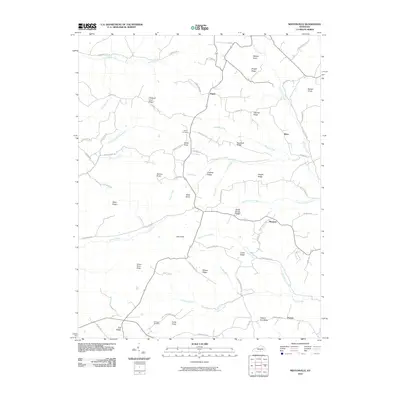 2010 Mintonville2010 Print · USGSCovers Pointer, including Ware, Mangum, and other nearby areas
 - 2013 Map of Mintonville, 2013 Print
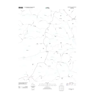 2013 Mintonville2013 Print · USGSCovers Pointer, including Ware, Mangum, and other nearby areas
 - 2016 Map of Mintonville, 2016 Print
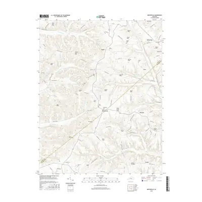 2016 Mintonville2016 Print · USGSCovers Pointer, including Ware, Mangum, and other nearby areas
 - 2019 Map of Mintonville, 2019 Print
 2019 Mintonville2019 Print · USGSCovers Pointer, including Ware, Mangum, and other nearby areas
 - 2022 Map of Mintonville, 2022 Print
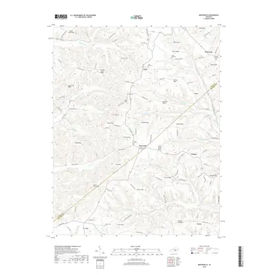
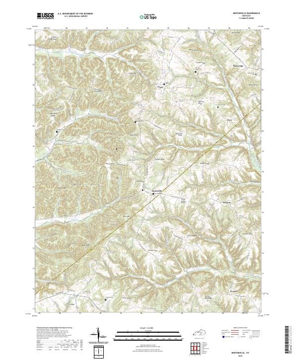 2022 Mintonville2022 Print · USGSCrossing the line between Pulaski and Casey counties in the 2020s, this area maintains its traditional rural character defined by steep ridges and winding creek valleys. Researchers can trace family history through a network of small upland burial sites like Grave Hill Cemetery and Watson Chapel Cemetery, or locate old homesites along Hickory Nut Ridge.
End of results
Showing maps 1-9 of 9
Top cities near Pointer
- Somerset historical maps
- Liberty historical maps
- Ferguson historical maps
- Burnside historical maps
- Science Hill historical maps
- Eubank historical maps
Frequently asked questions
- What are the different types of historical maps available for Pointer?
- What is the oldest map of Pointer?
- Where can I purchase historical maps of Pointer for my home or office?
- Where can I download high-res historical maps of Pointer?
- Are there historical topographic maps available for Pointer?
- Is there historical aerial imagery available for Pointer?
- Where are historical maps of Pointer sourced from?