2010s Maps of Green Lane Garden, Kentucky
Explore 16 historic maps of Green Lane Garden from the 2010s. These maps offer a rare glimpse into what life looked like during the 2010s — showing old roads, neighborhoods, homes, and landmarks that have changed or disappeared over time.
Whether you're researching your family's past, planning a metal detecting trip, or studying how Green Lane Garden's landscape evolved across the 2010s, these high-resolution maps are a powerful tool for exploring the history of this region.
- Focus on a specific era: All maps on this page are from the 2010s, giving you a focused view of this time period.
- See what’s changed: Compare century-old streets, trails, and buildings to today's modern landscape using overlays and satellite layers.
- Research with precision: Use these maps for genealogy, historical research, land use analysis, or educational projects.
- View, download, or print: Maps are fully viewable online in high resolution, and can be downloaded or printed for your own records.
Start exploring Green Lane Garden's history through authentic maps from the 2010s. This is your window into the past.
Green Lane Garden, KY maps
(16)- 2010 Map of Delaplain, 2010 Print
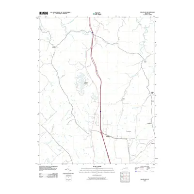 2010 Delaplain2010 Print · USGSScott County at the start of the 2010s shows a landscape of traditional Kentucky hamlets meeting modern expansion. Genealogists and local historians can trace the positions of Burgess Cemetery or the small settlements of Rogers Gap, Biddle, and Muddy Ford.
 - 2010 Map of Stamping Ground, 2010 Print
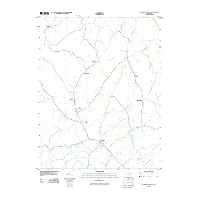 2010 Stamping Ground2010 Print · USGSThe crossroads of Scott County appear here in the early twenty-first century, showing a landscape defined by traditional settlements and family farmsteads. Researchers can trace ancestral locations at the Masonic Cemetery or find old community centers like Skinnersburg and Minorsville.
 - 2010 Map of Midway, 2010 Print
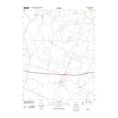 2010 Midway2010 Print · USGSMidway and the surrounding Bluegrass countryside are shown at the turn of the millennium, defined by historic estates and limestone-filtered creeks. Researchers can trace the layout of Midway, find rural settlements like White Sulphur, and locate family landmarks along Ironworks Rd.
 - 2010 Map of Georgetown, 2010 Print
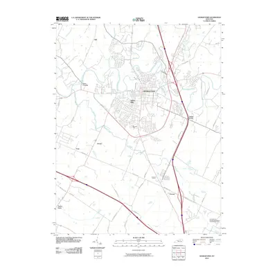 2010 Georgetown2010 Print · USGSGeorgetown and the surrounding horse country are captured here in the early twenty-first century as suburban growth meets traditional agriculture. Genealogists can locate family landmarks in Paynes Depot and Donerail or trace early roads like Ironworks Pike.
 - 2013 Map of Midway, 2013 Print
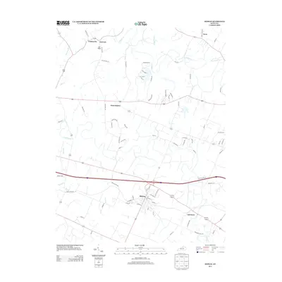 2013 Midway2013 Print · USGSMidway and the surrounding Woodford County countryside are documented here in the early twenty-first century. Genealogists and local historians can trace the vicinity of White Sulphur, Davistown, and Watkinsville or locate landmarks like Simms Sink and Big Spring.
 - 2013 Map of Georgetown, 2013 Print
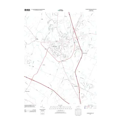 2013 Georgetown2013 Print · USGSThe Bluegrass region's transition from rural crossroads to suburban neighborhoods is captured here in the early twenty-first century. Researchers can trace historical sites like Royal Springs and Paynes Depot alongside newer developments such as Indian Hills.
 - 2013 Map of Delaplain, 2013 Print
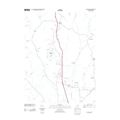 2013 Delaplain2013 Print · USGSScott County in the early 2010s shows a landscape of long-standing rural settlements meeting modern growth. Genealogists and local historians can trace legacy locations like Muddy Ford, Burgess Cem, and the community of Turkey Foot.
 - 2013 Map of Stamping Ground, 2013 Print
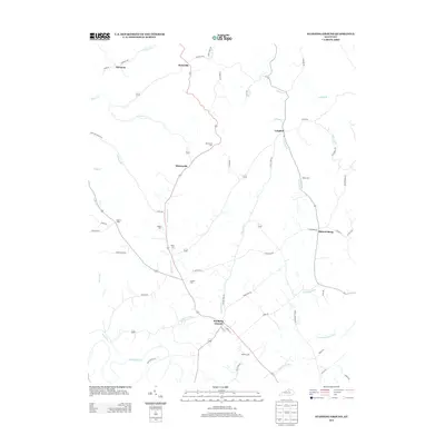 2013 Stamping Ground2013 Print · USGSScott County in the early twenty-first century remains a landscape of historic rural clusters and family legacy. Genealogists can trace family lines through sites like Minorsville Cem, Bond Cem, and the old crossroads at Skinnersburg.
 - 2016 Map of Stamping Ground, 2016 Print
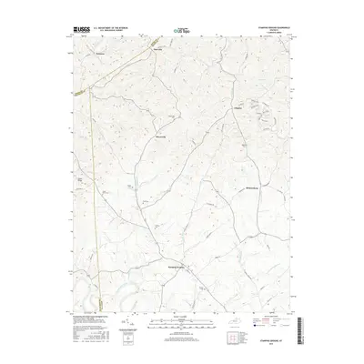 2016 Stamping Ground2016 Print · USGSScott County and its neighboring borders are documented here in the mid-2010s, showing a landscape defined by rural settlements and ancestral burial grounds. Genealogists can trace family names and locations at Masonic Cem, Minorsville, and Skinnersburg.
 - 2016 Map of Midway, 2016 Print
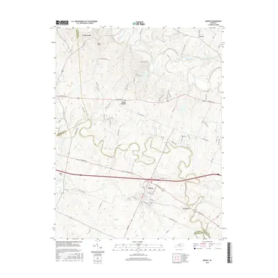 2016 Midway2016 Print · USGSMidway and the surrounding Bluegrass horse country are captured here in the mid-2010s. Researchers can trace local landmarks and school history at Midway Coll or locate family roots in smaller hamlets like Watkinsville and Davistown.
 - 2016 Map of Delaplain, 2016 Print
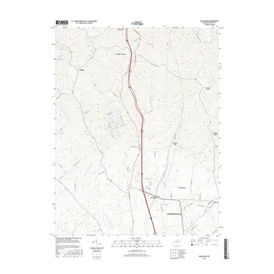 2016 Delaplain2016 Print · USGSScott County, Kentucky, is documented here in the mid-2010s as it balances its rural heritage with the growth of the GEORGETOWN corridor. Researchers can trace the layout of family-named settlements and landmarks like Burgess Cem, Turkey Foot, and Rogers Gap.
 - 2016 Map of Georgetown, 2016 Print
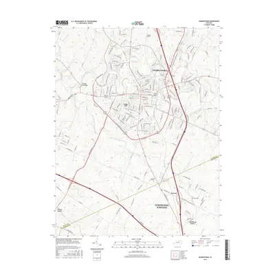 2016 Georgetown2016 Print · USGSGeorgetown and the northern reaches of the Bluegrass region are shown here as they appeared in 2016. Genealogists can trace local roots through Maple Grove Cemetery, the Georgetown College campus, and the historic crossroads at Paynes Depot.
 - 2019 Map of Delaplain, 2019 Print
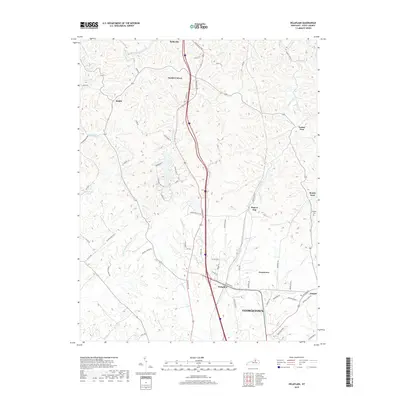 2019 Delaplain2019 Print · USGSGeorgetown and the Scott County countryside appear here in the modern era as a blend of traditional Kentucky settlements and arterial transit routes. Trace family roots and local landmarks from Sadieville to Oxford, or locate historic sites like Burgess Cem and Turkey Foot.
 - 2019 Map of Stamping Ground, 2019 Print
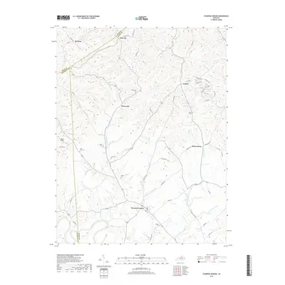 2019 Stamping Ground2019 Print · USGSScott County's rural landscape is captured here in the late 2010s, showing a network of historic communities and family burial grounds. Researchers can trace ancestral locations at Masonic Cem, Minorsville, and Skinnersburg along the Locust Fork drainage.
 - 2019 Map of Midway, 2019 Print
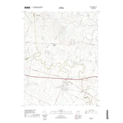 2019 Midway2019 Print · USGSMidway and its college town surroundings are captured here in the late 2010s, showing a landscape defined by rolling creek valleys and historical thoroughfares. Researchers can trace local landmarks like Midway Coll, White Sulphur, and the waters of South Elkhorn Creek.
 - 2019 Map of Georgetown, 2019 Print
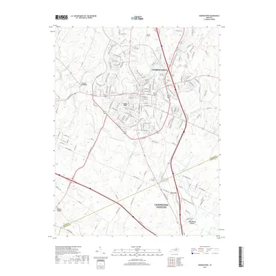 2019 Georgetown2019 Print · USGSGeorgetown and its Bluegrass surroundings are captured in this recent survey, showcasing the area's mix of academic tradition and expanding residential corridors. Genealogists and historians can trace the grounds of Georgetown College, the historic Great Crossing settlement, and the Maple Grove Cemetery.
End of results
Showing maps 1-16 of 16
Frequently asked questions
- What are the different types of historical maps available for Green Lane Garden?
- What is the oldest map of Green Lane Garden?
- Where can I purchase historical maps of Green Lane Garden for my home or office?
- Where can I download high-res historical maps of Green Lane Garden?
- Are there historical topographic maps available for Green Lane Garden?
- Is there historical aerial imagery available for Green Lane Garden?
- Where are historical maps of Green Lane Garden sourced from?