Old Maps of Green Lane Garden, Kentucky for Academic Research
Study the evolution of Green Lane Garden with 33 high-resolution historic maps. Whether you're teaching, researching, or modeling changes in land use, these maps provide essential visual documentation of urban, environmental, and geographic change.
- Analyze long-term change: Track patterns in development, transportation, and natural features.
- Ideal for environmental or urban studies: Support academic projects with primary historical map data.
- Use in the classroom or lab: Educators and researchers rely on these maps to bring historical context to life.
These maps are a powerful tool for teaching, research, and visualizing how Green Lane Garden has changed over the decades.
Green Lane Garden, KY maps
(33)- 1906 Map of Georgetown, 1954 Print
 1906 Georgetown1954 Print · USGSCentral Kentucky at the opening of the twentieth century was a landscape shaped by winding creeks and a dense web of steam rail lines. Local researchers can trace the historic rail corridors of the Southern R R and find early settlements like Paynes Depot and Great Crossing.
 - 1908 Map of Georgetown
 1908 Georgetown1908 Print · USGSCentral Kentucky at the turn of the century reveals a landscape of thriving rail depots and historic turnpikes connecting major county seats. Genealogists and historians can trace the early footprints of Midway, Donerail, and Great Crossing along the winding North Elkhorn Creek.2 unique versions available
 - 1939 Map of Sadieville
 1939 Sadieville1939 Print · USGSScott and Owen Counties are captured in the late 1930s as agricultural life centered on the Southern Railway and a dense network of country schools. Genealogists can locate family landmarks like Stamping Ground, Burroak Sch, and the Pleasant Hill Ch.2 unique versions available
 - 1952 Map of Midway, 1955 Print
 1952 Midway1955 Print · USGSMidway and the surrounding Bluegrass countryside are captured here in the early fifties as the Louisville and Nashville rail line still pulsed through the town center. Researchers can trace the exact locations of Spring Station, the Orphans Sch, and St Francis Mission amidst the winding creeks.
 - 1953 Map of Stamping Ground, 1955 Print
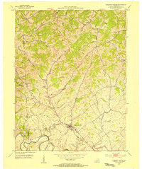 1953 Stamping Ground1955 Print · USGSThe rural landscape of Scott and Owen counties in the early fifties is defined by small crossroads hamlets and the path of the Frankfort and Cincinnati railroad. Genealogists can trace family footprints through several local burial sites including Minorsville Cem, Riddle Cem, and Cedar Grove Cem.3 unique versions available
 - 1953 Map of Delaplain, 1955 Print
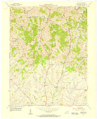 1953 Delaplain1955 Print · USGSScott County in the early fifties is captured here as a network of ridge-top roads and creek-side hamlets. Genealogists and historians can trace family locations near Oxford, Salem Ch, or the County Farm along the Southern rail line.
 - 1954 Map of Midway, 1955 Print
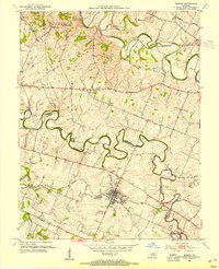 1954 Midway1955 Print · USGSMid-century Woodford and Scott Counties are captured here as a landscape of rail-connected towns and winding creek valleys. Genealogists and researchers can trace local landmarks like the Orphans Sch, the St Francis Mission, and the crossroads at White Sulphur.4 unique versions available
 - 1954 Map of Georgetown, 1955 Print
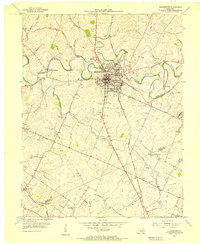 1954 Georgetown1955 Print · USGSScott County enters the mid-fifties as a hub of education and transport centered on the crossing of major rail lines and the winding Elkhorn Creek. Researchers can trace the grounds of Georgetown College, locate Paynes Depot, or find rural landmarks like Bethel Ch and Cardome Academy.
 - 1956 Map of Louisville, 1971 Print
 1956 Louisville1971 Print · USGSThe Ohio River valley and the Kentucky Bluegrass are captured here during a period of rapid mid-century growth and industrial activity. Genealogists and historians can trace rail-centered towns and military land use at Fort Knox and the Jefferson Proving Ground.2 unique versions available
 - 1964 Map of Louisville
 1964 Louisville1964 Print · USGSThe Ohio River valley and Kentucky Bluegrass are captured in the mid-1960s, showing a region balanced between industrial growth and its agrarian roots. Genealogists and historians can trace the development of county seats like Shelbyville and Paris, or locate established institutions such as Georgetown College and Bernheim Forest.
 - 1965 Map of Georgetown, 1966 Print
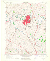 1965 Georgetown1966 Print · USGSGeorgetown and northern Fayette County appear here in the mid-sixties, a landscape of rolling hills and historic crossroads before the interstate era took full hold. Researchers can trace local roots through Georgetown College, the Maple Grove Cem, and old stops like Paynes Depot.4 unique versions available
 - 1965 Map of Delaplain, 1966 Print
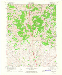 1965 Delaplain1966 Print · USGSScott County farm country and rail corridors come into focus during the mid-sixties. Genealogists can trace small crossroads like Oxford and Biddle, and locate rural landmarks such as Mt Olive Ch and Turkey Foot.3 unique versions available
 - 1986 Map of Lexington
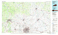 1986 Lexington1986 Print · USGSCentral Kentucky’s Bluegrass region is captured in the mid-eighties as urban centers like Lexington and Frankfort expand alongside deep-rooted rural hubs. Researchers can trace historic rail lines like the Southern Railway and find landmarks such as the Lexington Blue Grass Army Depot and Tacketts Mill.
 - 2010 Map of Delaplain, 2010 Print
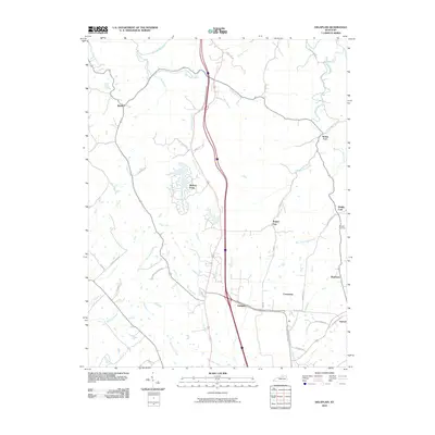 2010 Delaplain2010 Print · USGSScott County at the start of the 2010s shows a landscape of traditional Kentucky hamlets meeting modern expansion. Genealogists and local historians can trace the positions of Burgess Cemetery or the small settlements of Rogers Gap, Biddle, and Muddy Ford.
 - 2010 Map of Stamping Ground, 2010 Print
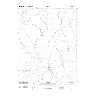 2010 Stamping Ground2010 Print · USGSThe crossroads of Scott County appear here in the early twenty-first century, showing a landscape defined by traditional settlements and family farmsteads. Researchers can trace ancestral locations at the Masonic Cemetery or find old community centers like Skinnersburg and Minorsville.
 - 2010 Map of Midway, 2010 Print
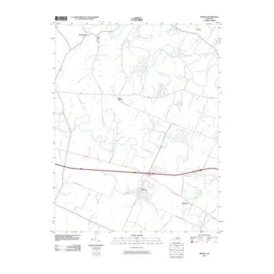 2010 Midway2010 Print · USGSMidway and the surrounding Bluegrass countryside are shown at the turn of the millennium, defined by historic estates and limestone-filtered creeks. Researchers can trace the layout of Midway, find rural settlements like White Sulphur, and locate family landmarks along Ironworks Rd.
 - 2010 Map of Georgetown, 2010 Print
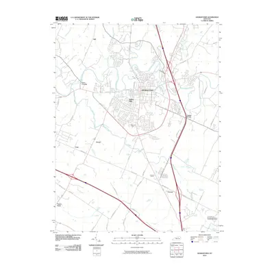 2010 Georgetown2010 Print · USGSGeorgetown and the surrounding horse country are captured here in the early twenty-first century as suburban growth meets traditional agriculture. Genealogists can locate family landmarks in Paynes Depot and Donerail or trace early roads like Ironworks Pike.
 - 2013 Map of Midway, 2013 Print
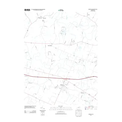 2013 Midway2013 Print · USGSMidway and the surrounding Woodford County countryside are documented here in the early twenty-first century. Genealogists and local historians can trace the vicinity of White Sulphur, Davistown, and Watkinsville or locate landmarks like Simms Sink and Big Spring.
 - 2013 Map of Georgetown, 2013 Print
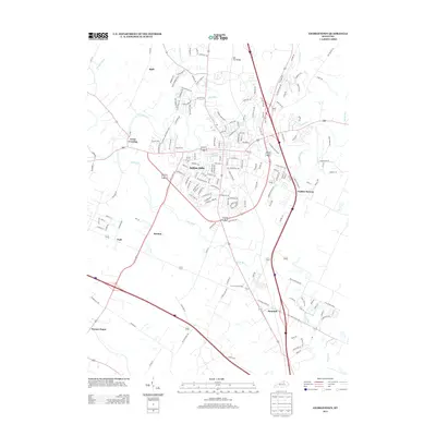 2013 Georgetown2013 Print · USGSThe Bluegrass region's transition from rural crossroads to suburban neighborhoods is captured here in the early twenty-first century. Researchers can trace historical sites like Royal Springs and Paynes Depot alongside newer developments such as Indian Hills.
 - 2013 Map of Delaplain, 2013 Print
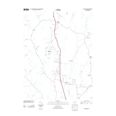 2013 Delaplain2013 Print · USGSScott County in the early 2010s shows a landscape of long-standing rural settlements meeting modern growth. Genealogists and local historians can trace legacy locations like Muddy Ford, Burgess Cem, and the community of Turkey Foot.
 - 2013 Map of Stamping Ground, 2013 Print
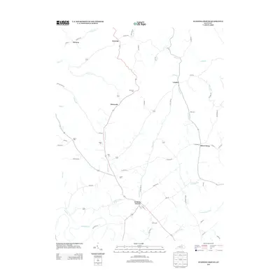 2013 Stamping Ground2013 Print · USGSScott County in the early twenty-first century remains a landscape of historic rural clusters and family legacy. Genealogists can trace family lines through sites like Minorsville Cem, Bond Cem, and the old crossroads at Skinnersburg.
 - 2016 Map of Stamping Ground, 2016 Print
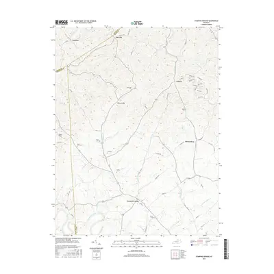 2016 Stamping Ground2016 Print · USGSScott County and its neighboring borders are documented here in the mid-2010s, showing a landscape defined by rural settlements and ancestral burial grounds. Genealogists can trace family names and locations at Masonic Cem, Minorsville, and Skinnersburg.
 - 2016 Map of Midway, 2016 Print
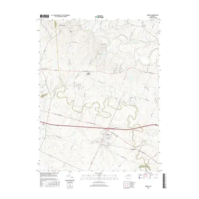 2016 Midway2016 Print · USGSMidway and the surrounding Bluegrass horse country are captured here in the mid-2010s. Researchers can trace local landmarks and school history at Midway Coll or locate family roots in smaller hamlets like Watkinsville and Davistown.
 - 2016 Map of Delaplain, 2016 Print
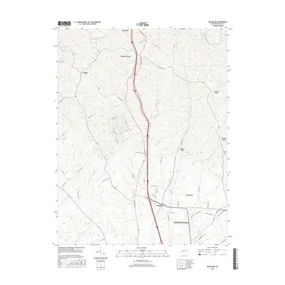 2016 Delaplain2016 Print · USGSScott County, Kentucky, is documented here in the mid-2010s as it balances its rural heritage with the growth of the GEORGETOWN corridor. Researchers can trace the layout of family-named settlements and landmarks like Burgess Cem, Turkey Foot, and Rogers Gap.
 - 2016 Map of Georgetown, 2016 Print
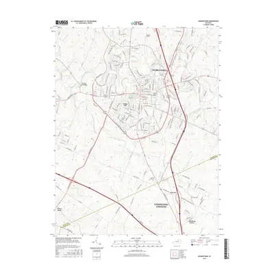 2016 Georgetown2016 Print · USGSGeorgetown and the northern reaches of the Bluegrass region are shown here as they appeared in 2016. Genealogists can trace local roots through Maple Grove Cemetery, the Georgetown College campus, and the historic crossroads at Paynes Depot.
Showing maps 1-25 of 33
Frequently asked questions
- What are the different types of historical maps available for Green Lane Garden?
- What is the oldest map of Green Lane Garden?
- Where can I purchase historical maps of Green Lane Garden for my home or office?
- Where can I download high-res historical maps of Green Lane Garden?
- Are there historical topographic maps available for Green Lane Garden?
- Is there historical aerial imagery available for Green Lane Garden?
- Where are historical maps of Green Lane Garden sourced from?