Old Maps of Peytona, Kentucky for Academic Research
Study the evolution of Peytona with 13 high-resolution historic maps. Whether you're teaching, researching, or modeling changes in land use, these maps provide essential visual documentation of urban, environmental, and geographic change.
- Analyze long-term change: Track patterns in development, transportation, and natural features.
- Ideal for environmental or urban studies: Support academic projects with primary historical map data.
- Use in the classroom or lab: Educators and researchers rely on these maps to bring historical context to life.
These maps are a powerful tool for teaching, research, and visualizing how Peytona has changed over the decades.
Peytona, KY maps
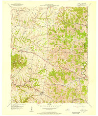
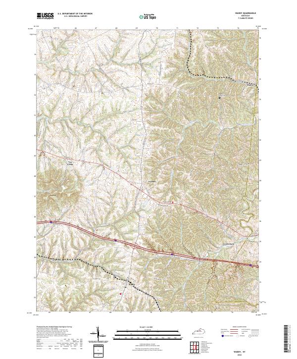
(13)- 1923 Map of Waddy
 1923 Waddy1923 Print · USGSShelby County and Anderson County are captured here in the early 1920s, showing a rural landscape organized around the Midland Trail and regional rail lines. Genealogists can trace family connections to numerous landmarks like Buffalo Lick Church, Jeptha Knob, and small settlements including Waddy and Glensboro.
 - 1925 Map of Mount Eden
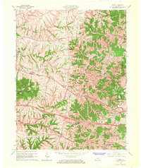
 1925 Mount Eden1925 Print · USGSThe rolling hills between Shelbyville and the Salt River are captured here in the mid-twenties, showing a landscape tied to the rails and old turnpikes. Researchers can find dozens of rural landmarks, from Jeptha Knob to family-named sites like Martin School and Browns Store.
 - 1927 Map of Mount Eden
 1927 Mount Eden1927 Print · USGSShelby County and its neighbors at the height of the 1920s reveal a landscape of ridge-top schools and bustling rail towns. Genealogists and local historians can trace family locations near landmarks like Jeptha Knob, the Buffalo Lick Church, or the community of Mount Eden.
 - 1954 Map of Waddy, 1955 Print
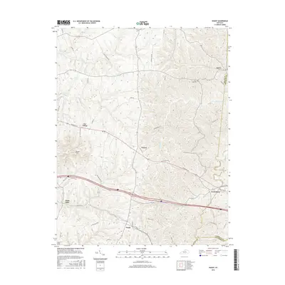
 1954 Waddy1955 Print · USGSShelby and Franklin counties are shown here in the mid-fifties, dominated by the high ground of Jeptha Knob. Genealogists and historians can trace the rural communities of Clay Village, Peytona, and Waddy, as well as the Buffalo Lick Ch.
 - 1956 Map of Louisville, 1971 Print
 1956 Louisville1971 Print · USGSThe Ohio River valley and the Kentucky Bluegrass are captured here during a period of rapid mid-century growth and industrial activity. Genealogists and historians can trace rail-centered towns and military land use at Fort Knox and the Jefferson Proving Ground.2 unique versions available
 - 1964 Map of Louisville
 1964 Louisville1964 Print · USGSThe Ohio River valley and Kentucky Bluegrass are captured in the mid-1960s, showing a region balanced between industrial growth and its agrarian roots. Genealogists and historians can trace the development of county seats like Shelbyville and Paris, or locate established institutions such as Georgetown College and Bernheim Forest.
 - 1965 Map of Waddy, 1967 Print
 1965 Waddy1967 Print · USGSShelby County in the mid-1960s is captured here during a period of rural transition along the Southern railroad. Researchers can trace the layout of historic settlements like Waddy and Clay Village or locate family landmarks near Jeptha Knob.4 unique versions available
 - 1986 Map of Louisville
 1986 Louisville1986 Print · USGSMid-1980s Louisville and southern Indiana are shown here during a decade of significant suburban growth and infrastructure development. Researchers can trace the layout of Cave Hill Cemetery, the expansion of Standiford Field, and industrial sites like the Indiana Army Ammunition Plant.2 unique versions available
 - 2010 Map of Waddy, 2010 Print
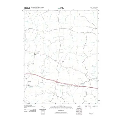 2010 Waddy2010 Print · USGSCovers Peytona, including Hemp Ridge, Clay Village, and other nearby areas
 - 2013 Map of Waddy, 2013 Print
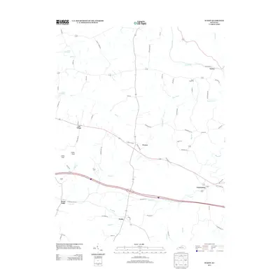 2013 Waddy2013 Print · USGSCovers Peytona, including Hemp Ridge, Clay Village, and other nearby areas
 - 2016 Map of Waddy, 2016 Print
 2016 Waddy2016 Print · USGSCovers Peytona, including Hemp Ridge, Clay Village, and other nearby areas
 - 2019 Map of Waddy, 2019 Print
 2019 Waddy2019 Print · USGSCovers Peytona, including Hemp Ridge, Clay Village, and other nearby areas
 - 2022 Map of Waddy, 2022 Print
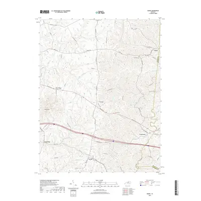
 2022 Waddy2022 Print · USGSShelby County's rural landscape is captured here in the early 2020s, showing a network of historic crossroads and farm-to-market routes. Researchers can trace family-named roads and locate community centers like Waddy, Clay Village, and the Beech Ridge Cem.
End of results
Showing maps 1-13 of 13
Top cities near Peytona
- Frankfort historical maps
- Lawrenceburg historical maps
- Shelbyville historical maps
- Eminence historical maps
- Smithfield historical maps
Frequently asked questions
- What are the different types of historical maps available for Peytona?
- What is the oldest map of Peytona?
- Where can I purchase historical maps of Peytona for my home or office?
- Where can I download high-res historical maps of Peytona?
- Are there historical topographic maps available for Peytona?
- Is there historical aerial imagery available for Peytona?
- Where are historical maps of Peytona sourced from?