2000s (21st Century) Maps of Spencer County, Kentucky
Explore 55 historic maps of Spencer County from the 2000s (21st Century). These maps offer a rare glimpse into what life looked like during the 2000s — showing old roads, neighborhoods, homes, and landmarks that have changed or disappeared over time.
Whether you're researching your family's past, planning a metal detecting trip, or studying how Spencer County's landscape evolved across the 2000s, these high-resolution maps are a powerful tool for exploring the history of this region.
- Focus on a specific era: All maps on this page are from the 2000s, giving you a focused view of this time period.
- See what’s changed: Compare century-old streets, trails, and buildings to today's modern landscape using overlays and satellite layers.
- Research with precision: Use these maps for genealogy, historical research, land use analysis, or educational projects.
- View, download, or print: Maps are fully viewable online in high resolution, and can be downloaded or printed for your own records.
Start exploring Spencer County's history through authentic maps from the 2000s. This is your window into the past.
Spencer County, KY maps
(55)- 2010 Map of Glensboro, 2010 Print
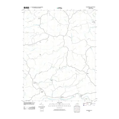 2010 Glensboro2010 Print · USGSCentral Kentucky's rural landscape is mapped here at the start of the decade, following the winding Salt River and its upland ridges. Genealogists can trace several local burial grounds, including Best Cemetery, and small historic nodes like Glensboro and Avenstoke.
 - 2010 Map of Waterford, 2010 Print
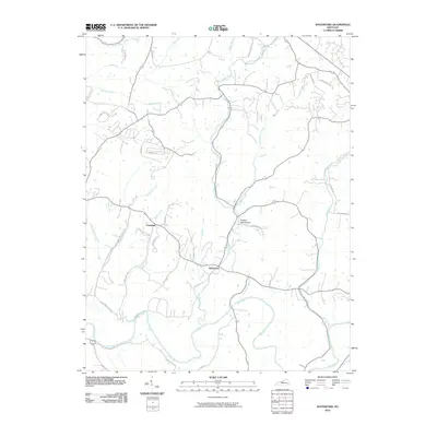 2010 Waterford2010 Print · USGSThis rural Kentucky landscape near the Jefferson and Spencer county line is shown here in the early twenty-first century. Genealogists and local historians can trace the course of the Salt River and locate the small communities of Waterford and Crenshaw.
 - 2010 Map of Samuels, 2010 Print
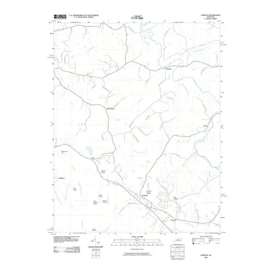 2010 Samuels2010 Print · USGSBullitt County’s rural communities are captured here in the early twenty-first century as the landscape transitioned toward modern residential growth. Researchers can trace family roots through Saint Gregorys Cemetery and local settlements like Henpeck, Brownington, and Samuels.
 - 2010 Map of Bloomfield, 2010 Print
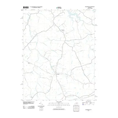 2010 Bloomfield2010 Print · USGSThe Nelson County countryside near Bloomfield appears here in the early twenty-first century, showing a landscape defined by its creek forks and rural lanes. Genealogists and local historians can trace family-named sites like Wilkinson Cemetery and Wakefield.
 - 2010 Map of Fairfield, 2010 Print
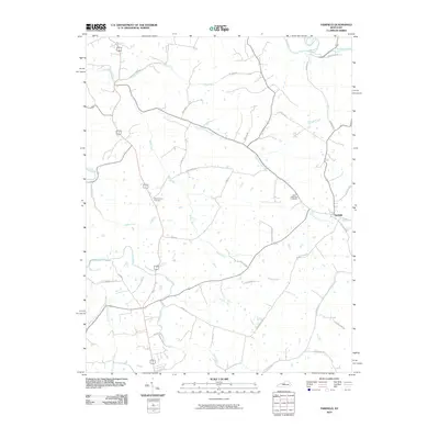 2010 Fairfield2010 Print · USGSFairfield and the surrounding Nelson County countryside are captured here in the early twenty-first century. Genealogists can locate family sites such as Saint Michaels Cemetery and Montgomery Cemetery or trace old routes like Mobley Mill Rd.
 - 2010 Map of Taylorsville, 2010 Print
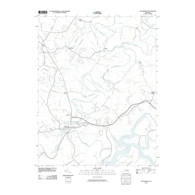 2010 Taylorsville2010 Print · USGSTaylorsville and its surrounding Spencer County hamlets are shown here during the early twenty-first century as the landscape maintains its traditional creek-side settlement patterns. Researchers can locate legacy sites such as Valley Cemetery, the community of Normandy, and Snyder Bluff.
 - 2010 Map of Mount Washington, 2010 Print
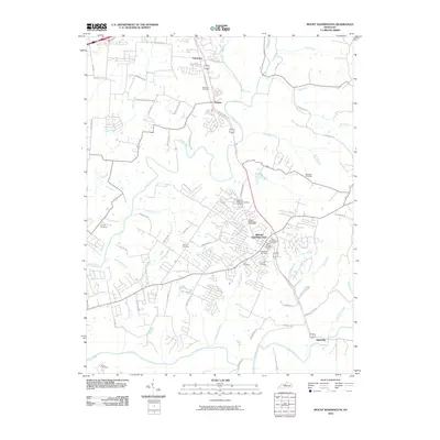 2010 Mount Washington2010 Print · USGSMount Washington and the southern reaches of Jefferson County appear here in the early twenty-first century as suburban growth meets traditional rural terrain. Genealogists can trace family names at Hell Cemetery, Gentey Cemetery, and Highland Memorial Gardens Cemetery near the Salt River.
 - 2010 Map of Fisherville, 2010 Print
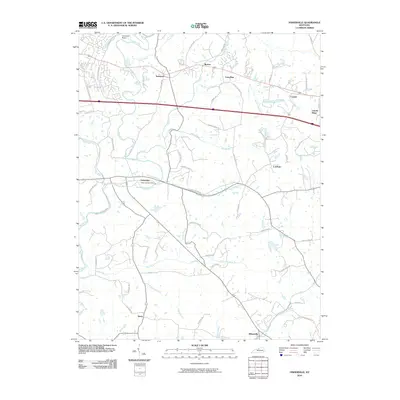 2010 Fisherville2010 Print · USGSJefferson County’s landscape is captured here during a era of suburban growth south of Louisville. Genealogists and local historians can trace the communities of Fisherville, Routt, and Lincoln Ridge while locating landmarks like Camp Dan Beard and the Fisherville Post Office.
 - 2010 Map of Simpsonville, 2010 Print
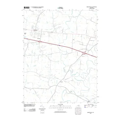 2010 Simpsonville2010 Print · USGSShelby County, Kentucky, is captured here in the early twenty-first century as it balances its farming roots with modern growth. Genealogists and historians can trace family locations near Picketts Cemetery and the crossroads at Finchville or Simpsonville.
 - 2010 Map of Mount Eden, 2010 Print
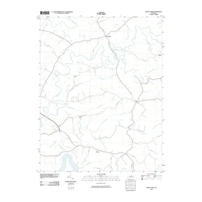 2010 Mount Eden2010 Print · USGSSpencer County’s rolling upland terrain comes into sharp focus during the early twenty-first century as modern roads follow ancient ridgelines. Trace the rural landscape through Southville, the high points of Elk Hill, and the winding waters of the Salt River.
 - 2010 Map of Chaplin, 2010 Print
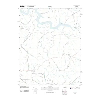 2010 Chaplin2010 Print · USGSAnderson and Nelson Counties are shown here during the early twenty-first century, featuring the rural settlements of Chaplin and Van Buren. Genealogists can trace family landmarks like Burns Cemetery, Highview Cemetery, and the Goodnight Bridge over the Salt River.
 - 2013 Map of Mount Washington, 2013 Print
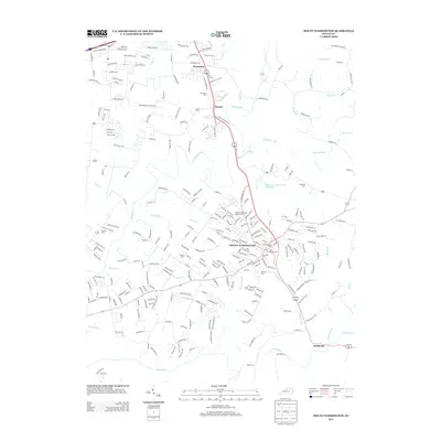 2013 Mount Washington2013 Print · USGSJefferson County in the early twenty-first century reveals a landscape where suburban expansion meets long-standing rural landmarks. Researchers can trace family history through a high density of local burial sites, from Mt Washington Cem to Gentry Cem and Fairmount Cem.
 - 2013 Map of Bloomfield, 2013 Print
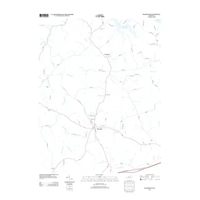 2013 Bloomfield2013 Print · USGSBloomfield and the surrounding Kentucky countryside are captured here in the early twenty-first century as modern transit meets traditional rural life. Genealogists and local historians can locate family burial sites like Wilkinson Cem and Ingram Cem or trace the winding course of Simpson Cr.
 - 2013 Map of Chaplin, 2013 Print
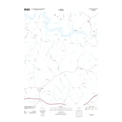 2013 Chaplin2013 Print · USGSThe countryside surrounding Chaplin and Van Buren is documented here in the early twenty-first century as the landscape spans the northern reaches of the Chaplin River. Researchers can locate local landmarks like Highview Cem, Driscol Hill, and the winding shores of Taylorsville Lake.
 - 2013 Map of Fairfield, 2013 Print
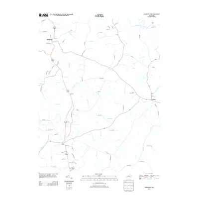 2013 Fairfield2013 Print · USGSNelson County in the early twenty-first century is captured here as a landscape of historic crossroads and winding watercourses. Genealogists and local researchers can pinpoint Saint Michaels Cem, the settlement of Highgrove, and the banks of the Salt River.
 - 2013 Map of Mount Eden, 2013 Print
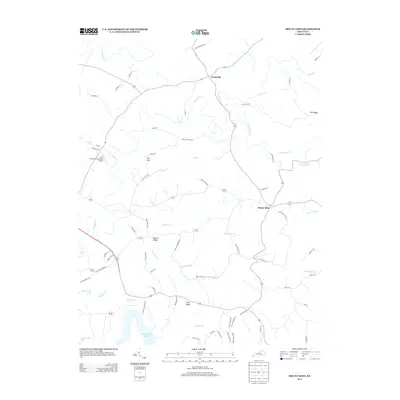 2013 Mount Eden2013 Print · USGSMount Eden and the surrounding ridges are captured in the early twenty-first century as the landscape balances rural heritage with the waters of Taylorsville Lake. Genealogists can trace family-named roads like Alan Nethery Rd and find landmarks like Elk Hill or the Little Mount International Airport.
 - 2013 Map of Fisherville, 2013 Print
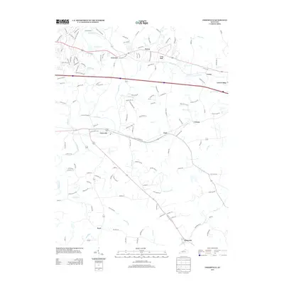 2013 Fisherville2013 Print · USGSEastern Jefferson County at the start of the 2010s shows a landscape in transition from rural farmland to residential suburbs. Researchers can trace local landmarks like Camp Dan Beard, the historic center of Fisherville, and the winding paths of Floyds Fork and Pope Lick.
 - 2013 Map of Samuels, 2013 Print
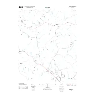 2013 Samuels2013 Print · USGSBrownington and the surrounding Kentucky countryside are captured here during a period of modern rural continuity. Genealogists can trace family connections through small settlements like Deatsville and Lotus or landmarks such as Saint Gregorys Cem.
 - 2013 Map of Taylorsville, 2013 Print
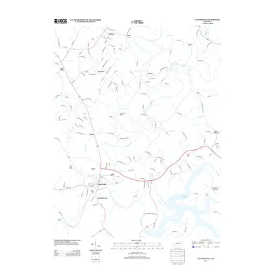 2013 Taylorsville2013 Print · USGSTaylorsville and the surrounding Kentucky countryside appear here in the early twenty-first century, centered on the Salt River valley. Genealogists and local historians can trace family plots at Valley Cem or explore established rural communities like Normandy and Little Mount.
 - 2013 Map of Waterford, 2013 Print
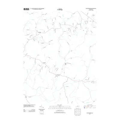 2013 Waterford2013 Print · USGSThe rural-suburban landscape south of Louisville is captured in detail during the early 2010s. Researchers can trace the layout of small communities like Waterford and Whitfield, or explore the winding paths of Plum Cr and the Salt River.
 - 2013 Map of Glensboro, 2013 Print
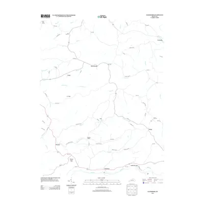 2013 Glensboro2013 Print · USGSAnderson County and its rural crossroads appear here in the early 2010s as the landscape transitions from the Salt River valley to the high ridges. Researchers can trace family history at Corinth Church Cem or locate old community centers like Glensboro and Harrisonville.
 - 2013 Map of Simpsonville, 2013 Print
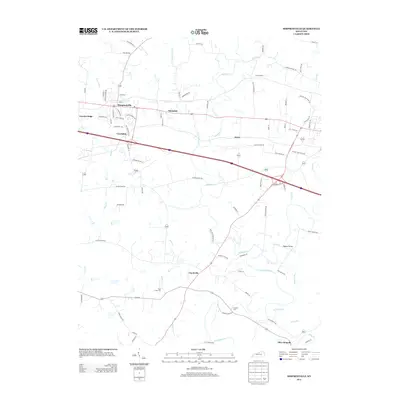 2013 Simpsonville2013 Print · USGSShelby County transitions into a modern residential and agricultural landscape in the early twenty-first century. Researchers can locate family history markers at Buck Creek Cem and trace old routes through Finchville and Scotts Station.
 - 2016 Map of Samuels, 2016 Print
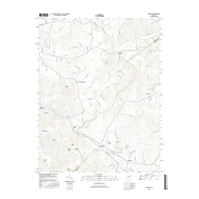 2016 Samuels2016 Print · USGSThe Nelson and Bullitt County borderlands come into focus in the mid-2010s, showing a rural landscape defined by the Salt River and numerous hollows. Researchers can locate the Saint Gregorys Cemetery or trace landmarks like Samuels Springs Airport and the community of Deatsville.
 - 2016 Map of Fairfield, 2016 Print
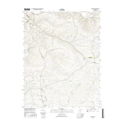 2016 Fairfield2016 Print · USGSNelson and Spencer counties are captured here in the mid-2010s, showing a landscape defined by the Salt River and historic crossroads. Genealogists can trace family footprints at Saint Michaels Cem or follow old routes like Old Louisville Rd through Highgrove.
 - 2016 Map of Waterford, 2016 Print
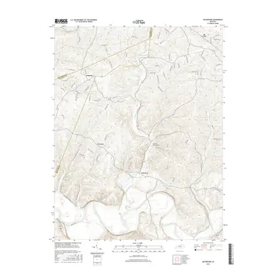 2016 Waterford2016 Print · USGSThe Jefferson and Spencer county line area is captured here during the mid-2010s, centered on the Salt River corridor. Researchers can trace the rural layouts of Waterford and Whitfield or follow winding drainages like Plum Creek and Feather Bed Hollow.
Showing maps 1-25 of 55
Top cities of Spencer County
Frequently asked questions
- What are the different types of historical maps available for Spencer County?
- What is the oldest map of Spencer County?
- Where can I purchase historical maps of Spencer County for my home or office?
- Where can I download high-res historical maps of Spencer County?
- Are there historical topographic maps available for Spencer County?
- Is there historical aerial imagery available for Spencer County?
- Where are historical maps of Spencer County sourced from?